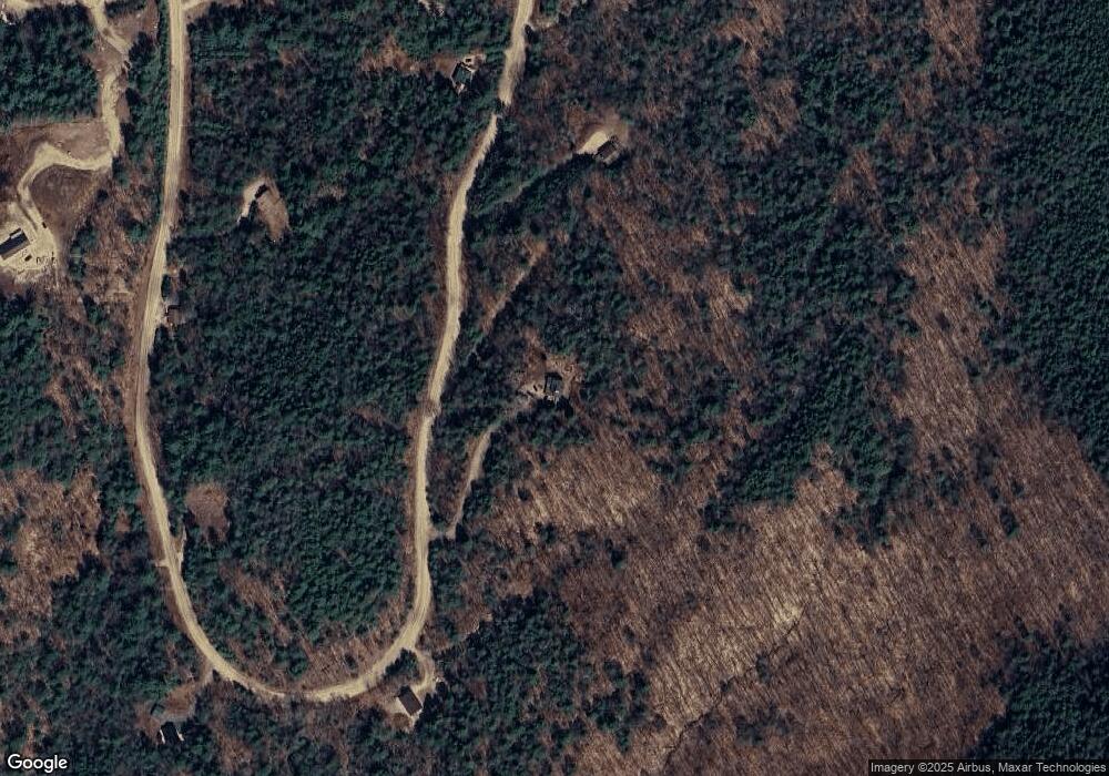
237 Covered Bridge Rd Thornton, NH 03285
Estimated Value: $518,596 - $717,000
3
Beds
2
Baths
1,970
Sq Ft
$315/Sq Ft
Est. Value
About This Home
This home is located at 237 Covered Bridge Rd, Thornton, NH 03285 and is currently estimated at $620,865, approximately $315 per square foot. 237 Covered Bridge Rd is a home with nearby schools including Thornton Central School and Plymouth Regional High School.
Ownership History
Date
Name
Owned For
Owner Type
Purchase Details
Closed on
Mar 8, 2020
Sold by
Magoon A Shawn
Bought by
Juanita Ret
Current Estimated Value
Purchase Details
Closed on
Nov 12, 2019
Sold by
William A Kirkland T
Bought by
Juanita Ret
Purchase Details
Closed on
Nov 6, 2017
Sold by
Magoon Shawn
Bought by
Workshop Buddy Rt
Create a Home Valuation Report for This Property
The Home Valuation Report is an in-depth analysis detailing your home's value as well as a comparison with similar homes in the area
Home Values in the Area
Average Home Value in this Area
Purchase History
| Date | Buyer | Sale Price | Title Company |
|---|---|---|---|
| Juanita Ret | -- | None Available | |
| Juanita Ret | $40,000 | -- | |
| Workshop Buddy Rt | -- | -- |
Source: Public Records
Tax History Compared to Growth
Tax History
| Year | Tax Paid | Tax Assessment Tax Assessment Total Assessment is a certain percentage of the fair market value that is determined by local assessors to be the total taxable value of land and additions on the property. | Land | Improvement |
|---|---|---|---|---|
| 2024 | $5,466 | $480,700 | $126,200 | $354,500 |
| 2023 | $4,812 | $231,800 | $62,700 | $169,100 |
| 2022 | $4,638 | $231,800 | $62,700 | $169,100 |
| 2021 | $4,706 | $226,600 | $62,700 | $163,900 |
| 2020 | $4,159 | $206,800 | $62,700 | $144,100 |
| 2019 | $3,863 | $206,800 | $62,700 | $144,100 |
| 2018 | $3,488 | $170,300 | $45,000 | $125,300 |
| 2017 | $3,328 | $170,300 | $45,000 | $125,300 |
| 2016 | $3,302 | $170,300 | $45,000 | $125,300 |
| 2015 | $3,253 | $170,300 | $45,000 | $125,300 |
| 2014 | $3,200 | $170,300 | $45,000 | $125,300 |
| 2013 | $3,110 | $169,600 | $39,100 | $130,500 |
Source: Public Records
Map
Nearby Homes
- 189 Covered Bridge Rd
- 165 Covered Bridge Rd
- Lot 2 Covered Bridge Rd
- 22 Compass Point Rd
- 151 Millbrook Rd
- 93 Waterthorn Rd
- 13 Champions Way
- 110 Tamarack Rd
- 65 Mountain River East Rd Unit 58
- 10 Old Farm Ln
- Map 231 Woodwinds Dr
- 43 Melina's Way
- 112 Woodwinds Dr
- 21 Melina's Way
- 6 Melinas Way
- 89 Woodwinds Dr
- 0 Avery- McGee Rd Unit 6
- 000 Upper Mad River Rd Unit 7
- 30 Tuxette Rd
- 184 Mad River Rd
- Lot 55 Covered Bridge Rd
- 85 Covered Bridge Rd
- 188 Covered Bridge Rd
- 51 Mountain View Dr
- 10 Horizon Unit 10
- Lot 53 Covered Bridge Rd
- Lot 53 Covered Bridge Rd Unit 53
- 182 Covered Bridge Rd
- 59 Mountain View Dr
- 74 Mountain View Dr
- 174 Covered Bridge Rd
- 73 Mountain View Dr Unit 73
- Lot 73 Mountain View Dr
- 183 Covered Bridge Rd
- 29 Mountain View Dr
- 0 Mountain View Dr Unit 4987842
- 0 Mountain View Dr Unit 51 4896840
- 172 Covered Bridge Rd
- 36 Millstone
- 0 Mountain View Rd Unit 11-1-171 4848692
