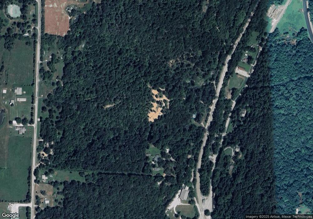
237 Rough Rd Winslow, AR 72959
Estimated Value: $109,000 - $146,000
Studio
1
Bath
400
Sq Ft
$319/Sq Ft
Est. Value
About This Home
This home is located at 237 Rough Rd, Winslow, AR 72959 and is currently estimated at $127,624, approximately $319 per square foot. 237 Rough Rd is a home with nearby schools including Greenland Middle School, Greenland Elementary School, and Greenland High School.
Ownership History
Date
Name
Owned For
Owner Type
Purchase Details
Closed on
Jan 14, 2025
Sold by
Romine Sherry
Bought by
Romine James
Current Estimated Value
Purchase Details
Closed on
Jan 3, 2021
Sold by
Reed Phillip R
Bought by
The Price Family Trust
Purchase Details
Closed on
Apr 25, 2015
Sold by
Reed Phillip L
Bought by
Farmer Thomas and Farmer Tim
Purchase Details
Closed on
Jan 15, 2012
Sold by
Price Richard and Price Tomoko
Bought by
Romine James D
Purchase Details
Closed on
Oct 6, 1995
Bought by
Reed Phillip L
Purchase Details
Closed on
Jan 1, 1991
Bought by
Reed Phillip and P.O. Box 82
Create a Home Valuation Report for This Property
The Home Valuation Report is an in-depth analysis detailing your home's value as well as a comparison with similar homes in the area
Purchase History
| Date | Buyer | Sale Price | Title Company |
|---|---|---|---|
| Romine James | -- | None Listed On Document | |
| Romine James | -- | None Listed On Document | |
| The Price Family Trust | $10,000 | None Available | |
| Farmer Thomas | -- | None Available | |
| Romine James D | $25,000 | None Available | |
| Reed Phillip L | -- | -- | |
| Reed Phillip | -- | -- |
Source: Public Records
Tax History
| Year | Tax Paid | Tax Assessment Tax Assessment Total Assessment is a certain percentage of the fair market value that is determined by local assessors to be the total taxable value of land and additions on the property. | Land | Improvement |
|---|---|---|---|---|
| 2025 | $785 | $17,340 | $4,490 | $12,850 |
| 2024 | $447 | $10,850 | $4,490 | $6,360 |
| 2023 | $113 | $4,490 | $4,490 | $0 |
| 2022 | $103 | $2,090 | $2,090 | $0 |
| 2021 | $107 | $2,090 | $2,090 | $0 |
| 2020 | $103 | $2,090 | $2,090 | $0 |
| 2019 | $2 | $3,420 | $1,310 | $2,110 |
| 2018 | $2 | $3,420 | $1,310 | $2,110 |
| 2017 | $1 | $3,420 | $1,310 | $2,110 |
| 2016 | $2 | $3,420 | $1,310 | $2,110 |
| 2015 | $2 | $3,420 | $1,310 | $2,110 |
| 2014 | $2 | $3,454 | $814 | $2,640 |
Source: Public Records
Map
Nearby Homes
- 660 N Highway 71
- 610 Blueberry Hill Rd
- 156 Pinehaven Dr
- TBD Hwy 71 B
- Tract 1 20334 Wc 4172
- 20845 U S 71
- 20805 Pine Dr
- 21588 S Highway 71
- 10347 Devils Den Rd
- TBD Brentwood Mountain Rd
- 22439 Carter (Wc 147) Ln
- 22647 N Highway 71
- 47 Acres Wc 4275
- 16925 Carpenter Rd
- 10557 Devils Den Rd
- 32 Chimney Field Rd
- 33 Chimney Field Rd
- 2 Chimney Field Rd
- 00 Chimney Field Rd
- 01 Chimney Field Rd
- 245 N Railroad St
- 270 Rickman Ave
- 278 Rickman Ave
- 383 N Railroad St
- 282 Rickman Ave
- 341 N Winslow Blvd
- 273 N Winslow Blvd
- 187 N Railroad St
- 187 N Railroad St
- 209 N Winslow Blvd
- 159 N Railroad St
- TBD Arkansas 74
- Ooo Arkansas 74
- 0 Arkansas 74
- 298 Rickman Ave
- 8 Mountain Dr
- 40Ac N Winslow Blvd
- 109 E Mountain Dr
- 192 E Mountain Dr
- 14539 Mountain Drive Loop
Your Personal Tour Guide
Ask me questions while you tour the home.
