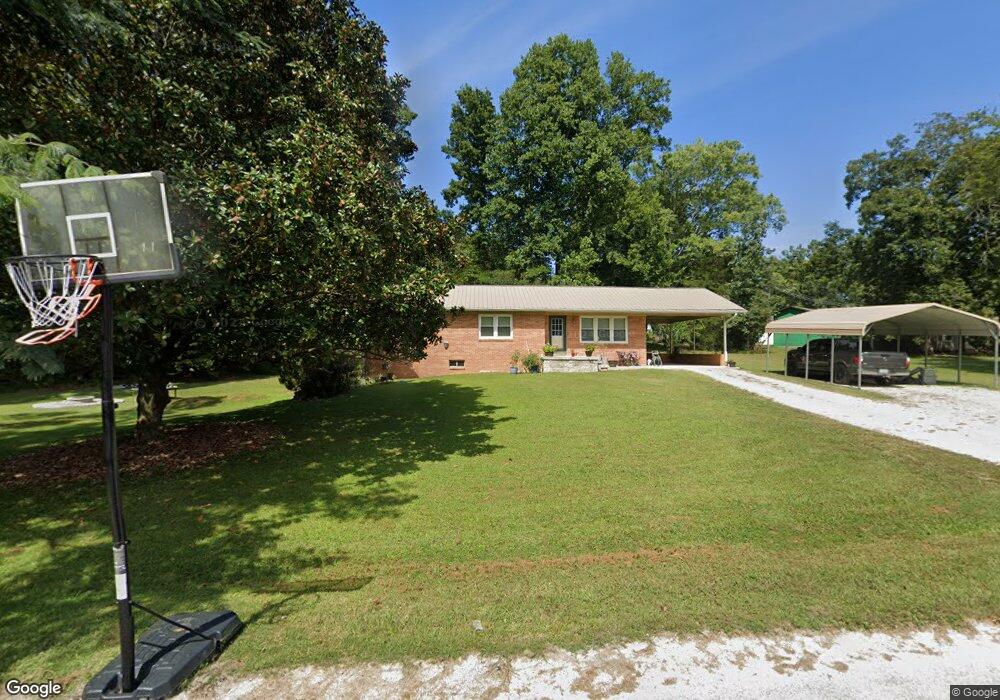
237 Southwood Dr Linden, TN 37096
Estimated Value: $93,000 - $233,000
3
Beds
1
Bath
1,308
Sq Ft
$112/Sq Ft
Est. Value
About This Home
This home is located at 237 Southwood Dr, Linden, TN 37096 and is currently estimated at $146,150, approximately $111 per square foot. 237 Southwood Dr is a home located in Perry County.
Ownership History
Date
Name
Owned For
Owner Type
Purchase Details
Closed on
Dec 22, 2021
Sold by
Weatherly David
Bought by
Daniel Andrea and Daniel William Allen
Current Estimated Value
Purchase Details
Closed on
Dec 2, 2014
Sold by
Zemer Gerald Walker
Bought by
Weatherly David
Home Financials for this Owner
Home Financials are based on the most recent Mortgage that was taken out on this home.
Original Mortgage
$59,512
Interest Rate
4.09%
Mortgage Type
New Conventional
Purchase Details
Closed on
Feb 10, 1973
Bought by
Zemer Gerald Walker
Create a Home Valuation Report for This Property
The Home Valuation Report is an in-depth analysis detailing your home's value as well as a comparison with similar homes in the area
Home Values in the Area
Average Home Value in this Area
Purchase History
| Date | Buyer | Sale Price | Title Company |
|---|---|---|---|
| Daniel Andrea | -- | None Available | |
| Weatherly David | $62,500 | -- | |
| Zemer Gerald Walker | -- | -- |
Source: Public Records
Mortgage History
| Date | Status | Borrower | Loan Amount |
|---|---|---|---|
| Previous Owner | Weatherly David | $59,512 |
Source: Public Records
Tax History Compared to Growth
Tax History
| Year | Tax Paid | Tax Assessment Tax Assessment Total Assessment is a certain percentage of the fair market value that is determined by local assessors to be the total taxable value of land and additions on the property. | Land | Improvement |
|---|---|---|---|---|
| 2025 | $489 | $17,450 | $0 | $0 |
| 2024 | $489 | $17,450 | $1,750 | $15,700 |
| 2023 | $401 | $17,450 | $1,750 | $15,700 |
| 2022 | $489 | $17,450 | $1,750 | $15,700 |
| 2021 | $489 | $17,450 | $1,750 | $15,700 |
| 2020 | $401 | $17,450 | $1,750 | $15,700 |
| 2019 | $531 | $17,800 | $3,375 | $14,425 |
| 2018 | $531 | $17,800 | $3,375 | $14,425 |
| 2017 | $526 | $17,800 | $3,375 | $14,425 |
| 2016 | $526 | $17,800 | $3,375 | $14,425 |
| 2015 | $517 | $17,800 | $3,375 | $14,425 |
| 2014 | $517 | $17,800 | $3,375 | $14,425 |
| 2013 | $520 | $17,906 | $0 | $0 |
Source: Public Records
Map
Nearby Homes
- 218 Cedar Ave
- 122 Shelton St
- 141 Maple St
- 245 S Mill St
- 0 Church St
- 130 Elm Ln
- 2017 Airport Ridge Rd
- 0 Treadwell Prong Unit RTC2707562
- 628 Starlight Dr
- 8884 U S Highway 412
- 2082 Airport Ridge Rd
- 107 Possum Trot Ln
- 117 Wyatt Ln
- 0 U S Highway 412
- Lot 5 Campers Ln
- Lot 7 Campers Ln
- Lot 9 Campers Ln
- Lot 15 Campers Ln
- Lot 4 Campers Ln
- 2172 Airport Ridge Rd
- 233 Southwood Dr
- 231 Cedar Ave
- 230 Cedar Ave
- 236 Southwood Dr
- 1088 Big Opossum Rd
- 229 Southwood Dr
- 4850 Cedar Ave
- 228 Cedar Ave
- 230 Southwood Dr
- 223 Southwood Dr
- 226 Southwood Dr
- 229 Cedar Ave
- 222 Southwood Dr
- 129 Cabin Dr
- 223 Cedar Ave
- 127 Cabin Dr
- 214 Southwood Dr
- 217 Southwood Dr
- 121 Cabin Dr
- 213 Hickory Hill Dr