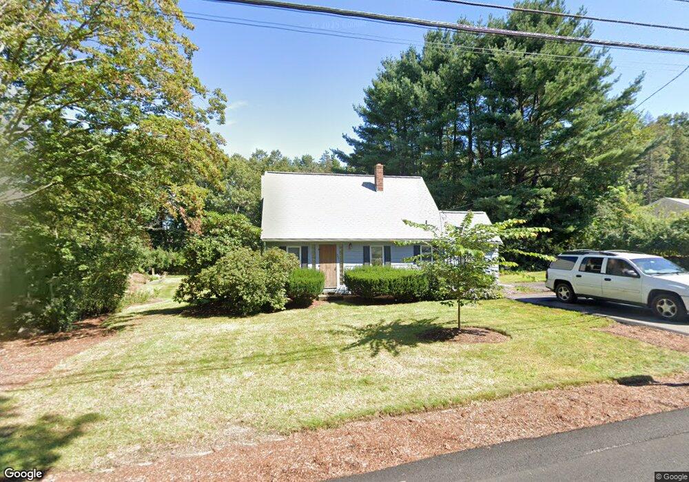
237 Thurston St Wrentham, MA 02093
Estimated Value: $520,743 - $566,000
3
Beds
2
Baths
1,260
Sq Ft
$430/Sq Ft
Est. Value
About This Home
This home is located at 237 Thurston St, Wrentham, MA 02093 and is currently estimated at $541,686, approximately $429 per square foot. 237 Thurston St is a home located in Norfolk County with nearby schools including Delaney Elementary School, Charles E Roderick, and Discovery Daycare Center.
Ownership History
Date
Name
Owned For
Owner Type
Purchase Details
Closed on
Mar 11, 1983
Bought by
Baker William E and Baker Naomi M
Current Estimated Value
Create a Home Valuation Report for This Property
The Home Valuation Report is an in-depth analysis detailing your home's value as well as a comparison with similar homes in the area
Purchase History
| Date | Buyer | Sale Price | Title Company |
|---|---|---|---|
| Baker William E | -- | -- |
Source: Public Records
Mortgage History
| Date | Status | Borrower | Loan Amount |
|---|---|---|---|
| Open | Baker William E | $80,000 | |
| Closed | Baker William E | $70,000 |
Source: Public Records
Tax History
| Year | Tax Paid | Tax Assessment Tax Assessment Total Assessment is a certain percentage of the fair market value that is determined by local assessors to be the total taxable value of land and additions on the property. | Land | Improvement |
|---|---|---|---|---|
| 2025 | $5,372 | $463,500 | $241,000 | $222,500 |
| 2024 | $5,196 | $433,000 | $241,000 | $192,000 |
| 2023 | $4,942 | $391,600 | $219,100 | $172,500 |
| 2022 | $4,689 | $343,000 | $197,300 | $145,700 |
| 2021 | $4,432 | $315,000 | $176,300 | $138,700 |
| 2020 | $4,450 | $312,300 | $160,900 | $151,400 |
| 2019 | $4,095 | $290,000 | $146,200 | $143,800 |
| 2018 | $4,037 | $283,500 | $146,400 | $137,100 |
| 2017 | $3,798 | $266,500 | $143,600 | $122,900 |
| 2016 | $3,713 | $260,000 | $139,400 | $120,600 |
| 2015 | $3,615 | $241,300 | $134,000 | $107,300 |
| 2014 | $3,557 | $232,300 | $128,900 | $103,400 |
Source: Public Records
Map
Nearby Homes
- 282 Thurston St
- 483 Thurston St
- 10 Nature View Dr
- 15 Nature View Dr
- 576 Dedham St
- 25 Foxboro Rd
- 131 Washington St Unit 50
- 8 Conway Ln
- 12 Goodwin Dr
- 3 Earle Stewart Ln
- 75 Foxboro Rd
- 2 Earle Stewart Ln
- 135 Creek St Unit 2
- 10 Earle Stewart Ln Unit Lot 5
- 1 Weber Farm Rd Unit 1
- 12 Earle Stewart Ln
- 11 Weber Farm Rd Unit 11
- 8 Weber Farm Rd Unit 8
- 30 Weber Farm Rd Unit 30
- 9 Sharon Ave
Your Personal Tour Guide
Ask me questions while you tour the home.