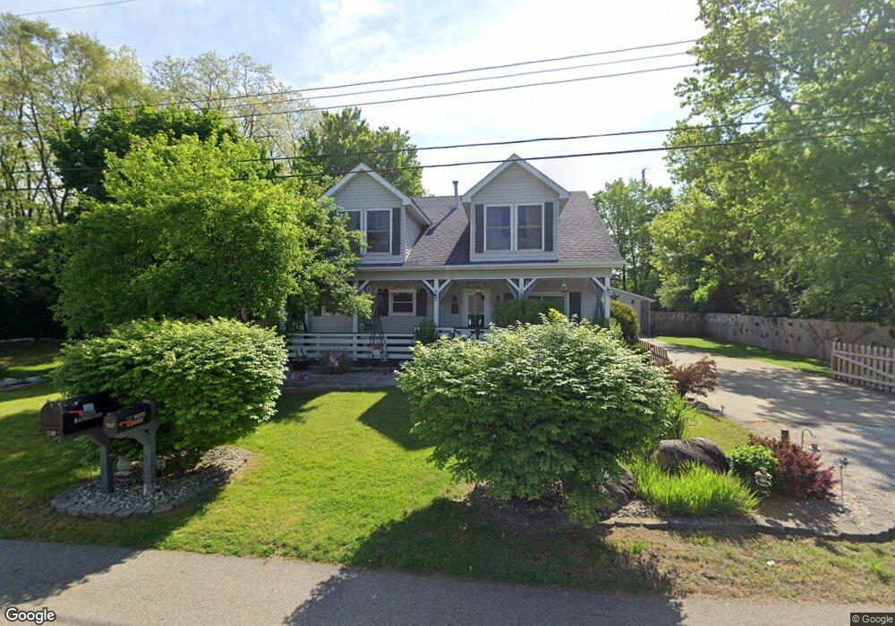
237 Watts St Battle Creek, MI 49014
Estimated Value: $150,000 - $253,000
4
Beds
1
Bath
1,080
Sq Ft
$187/Sq Ft
Est. Value
About This Home
This home is located at 237 Watts St, Battle Creek, MI 49014 and is currently estimated at $201,511, approximately $186 per square foot. 237 Watts St is a home located in Calhoun County with nearby schools including Harper Creek Middle School and Harper Creek High School.
Ownership History
Date
Name
Owned For
Owner Type
Purchase Details
Closed on
Jul 9, 2003
Sold by
Grigby Douglas A and Debra Conklin
Bought by
Grisby Douglas A and Grisby Debra A
Current Estimated Value
Purchase Details
Closed on
Jun 14, 2002
Sold by
Pelfrey Paul and Pelfrey Lisa
Bought by
Grigby Douglas A and Debra Conklin
Purchase Details
Closed on
May 31, 2002
Sold by
Pelfrey Paul and Pelfrey Lisa
Purchase Details
Closed on
Aug 8, 2000
Sold by
Wolfgang Douglas P
Bought by
Pelfrey Paul and Pelfrey Lisa
Purchase Details
Closed on
May 5, 1994
Create a Home Valuation Report for This Property
The Home Valuation Report is an in-depth analysis detailing your home's value as well as a comparison with similar homes in the area
Home Values in the Area
Average Home Value in this Area
Purchase History
| Date | Buyer | Sale Price | Title Company |
|---|---|---|---|
| Grisby Douglas A | -- | -- | |
| Grigby Douglas A | $102,000 | -- | |
| -- | $77,500 | -- | |
| Pelfrey Paul | $90,000 | -- | |
| -- | $60,900 | -- |
Source: Public Records
Tax History Compared to Growth
Tax History
| Year | Tax Paid | Tax Assessment Tax Assessment Total Assessment is a certain percentage of the fair market value that is determined by local assessors to be the total taxable value of land and additions on the property. | Land | Improvement |
|---|---|---|---|---|
| 2025 | $2,604 | $103,780 | $0 | $0 |
| 2024 | $1,517 | $97,070 | $0 | $0 |
| 2023 | $2,331 | $81,720 | $0 | $0 |
| 2022 | $1,376 | $81,240 | $0 | $0 |
| 2021 | $2,227 | $68,600 | $0 | $0 |
| 2020 | $2,269 | $63,850 | $0 | $0 |
| 2019 | $2,585 | $62,900 | $0 | $0 |
| 2018 | $1,951 | $57,400 | $10,000 | $47,400 |
| 2017 | $1,951 | $55,900 | $0 | $0 |
| 2016 | $1,951 | $54,650 | $0 | $0 |
| 2015 | $1,242 | $52,850 | $16,375 | $36,475 |
| 2014 | $1,242 | $50,800 | $16,375 | $34,425 |
Source: Public Records
Map
Nearby Homes
- 140 Princeton St S
- 0 E River Rd
- 196 Eisenhower Dr
- 8362 River Rd E
- 226 Nixon
- 153 Martin St
- 0 Rook St Unit 25019652
- 23 Bradford St
- VL E Michigan Ave
- 113 Rook Ct
- 208 Stone St N
- 329 Vass Ave
- 605 Westbrook Ave
- 1230 Golden Ave
- 117 Inn Rd
- 323 Wattles Rd S
- 153 Hidden Forest Rd
- 840 Wattles Rd N
- 118 Nelson St
- 232 Cliff St