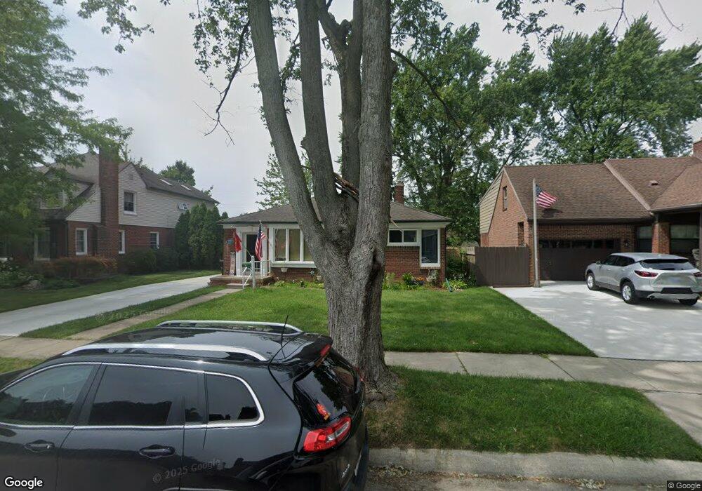
2370 19th St Wyandotte, MI 48192
Estimated Value: $190,766 - $238,000
3
Beds
1
Bath
898
Sq Ft
$234/Sq Ft
Est. Value
About This Home
This home is located at 2370 19th St, Wyandotte, MI 48192 and is currently estimated at $209,692, approximately $233 per square foot. 2370 19th St is a home located in Wayne County with nearby schools including Washington Elementary School, Woodrow Wilson School, and Roosevelt High School.
Ownership History
Date
Name
Owned For
Owner Type
Purchase Details
Closed on
Jul 6, 2001
Sold by
Kelity Lesa M
Bought by
Lekity Paul M
Current Estimated Value
Purchase Details
Closed on
Jul 29, 1994
Sold by
Anthony E Balavitch
Bought by
Foss Paul M Lekity and Foss Lisa M
Home Financials for this Owner
Home Financials are based on the most recent Mortgage that was taken out on this home.
Original Mortgage
$76,950
Interest Rate
8.62%
Mortgage Type
FHA
Create a Home Valuation Report for This Property
The Home Valuation Report is an in-depth analysis detailing your home's value as well as a comparison with similar homes in the area
Home Values in the Area
Average Home Value in this Area
Purchase History
| Date | Buyer | Sale Price | Title Company |
|---|---|---|---|
| Lekity Paul M | -- | -- | |
| Foss Paul M Lekity | $77,750 | -- |
Source: Public Records
Mortgage History
| Date | Status | Borrower | Loan Amount |
|---|---|---|---|
| Previous Owner | Foss Paul M Lekity | $76,950 |
Source: Public Records
Tax History Compared to Growth
Tax History
| Year | Tax Paid | Tax Assessment Tax Assessment Total Assessment is a certain percentage of the fair market value that is determined by local assessors to be the total taxable value of land and additions on the property. | Land | Improvement |
|---|---|---|---|---|
| 2025 | $2,254 | $93,600 | $0 | $0 |
| 2024 | $2,254 | $86,900 | $0 | $0 |
| 2023 | $2,150 | $78,800 | $0 | $0 |
| 2022 | $2,490 | $72,700 | $0 | $0 |
| 2021 | $2,440 | $68,800 | $0 | $0 |
| 2020 | $2,407 | $61,200 | $0 | $0 |
| 2019 | $2,487 | $57,100 | $0 | $0 |
| 2018 | $2,015 | $51,300 | $0 | $0 |
| 2017 | $830 | $51,300 | $0 | $0 |
| 2016 | $2,291 | $46,600 | $0 | $0 |
| 2015 | $4,088 | $43,300 | $0 | $0 |
| 2013 | $4,000 | $40,000 | $0 | $0 |
| 2012 | $1,839 | $41,200 | $10,600 | $30,600 |
Source: Public Records
Map
Nearby Homes
- 2419 15th St
- 1316 Vinewood St
- 1568 Chestnut St
- 12757 Cunningham St
- 1864 18th St
- 12773 Walnut St
- 12753 Backus St
- 12937 Walnut St
- 1235 Chestnut St
- 12937 Pullman St
- 1823 15th St
- 1618 Davis St
- 2083 11th St
- 2656 10th St
- 1679 23rd St
- 1645 22nd St
- 12745 Phelps St
- 2492 Electric St
- 2824 11th St
- 12770 Veronica St