Estimated Value: $1,150,000 - $1,396,000
4
Beds
3
Baths
3,480
Sq Ft
$357/Sq Ft
Est. Value
About This Home
This home is located at 2371 Lonestar Dr, Norco, CA 92860 and is currently estimated at $1,241,034, approximately $356 per square foot. 2371 Lonestar Dr is a home located in Riverside County with nearby schools including Highland Elementary, Norco Intermediate School, and Norco High School.
Ownership History
Date
Name
Owned For
Owner Type
Purchase Details
Closed on
Jan 30, 2026
Sold by
Menou Robert Andre and Menou Merilee Ruth
Bought by
Robert And Merilee Menou Family Trust and Menou
Current Estimated Value
Purchase Details
Closed on
Sep 7, 1997
Sold by
Bolander Richard E and Bolander Julita S
Bought by
Menou Robert Andre and Menou Merilee Ruth
Home Financials for this Owner
Home Financials are based on the most recent Mortgage that was taken out on this home.
Original Mortgage
$190,000
Interest Rate
7.3%
Mortgage Type
Purchase Money Mortgage
Purchase Details
Closed on
Jun 7, 1996
Sold by
Lewis Homes Of Calif
Bought by
Bolander Richard E and Bolander Julita S
Home Financials for this Owner
Home Financials are based on the most recent Mortgage that was taken out on this home.
Original Mortgage
$218,100
Interest Rate
8.32%
Mortgage Type
Purchase Money Mortgage
Create a Home Valuation Report for This Property
The Home Valuation Report is an in-depth analysis detailing your home's value as well as a comparison with similar homes in the area
Home Values in the Area
Average Home Value in this Area
Purchase History
| Date | Buyer | Sale Price | Title Company |
|---|---|---|---|
| Robert And Merilee Menou Family Trust | -- | None Listed On Document | |
| Menou Robert Andre | $277,000 | -- | |
| Bolander Richard E | $273,000 | Chicago Title |
Source: Public Records
Mortgage History
| Date | Status | Borrower | Loan Amount |
|---|---|---|---|
| Previous Owner | Menou Robert Andre | $190,000 | |
| Previous Owner | Bolander Richard E | $218,100 |
Source: Public Records
Tax History
| Year | Tax Paid | Tax Assessment Tax Assessment Total Assessment is a certain percentage of the fair market value that is determined by local assessors to be the total taxable value of land and additions on the property. | Land | Improvement |
|---|---|---|---|---|
| 2025 | $4,759 | $442,268 | $111,754 | $330,514 |
| 2023 | $4,759 | $425,096 | $107,415 | $317,681 |
| 2022 | $4,605 | $416,761 | $105,309 | $311,452 |
| 2021 | $4,511 | $408,591 | $103,245 | $305,346 |
| 2020 | $4,461 | $404,403 | $102,187 | $302,216 |
| 2019 | $4,356 | $396,475 | $100,184 | $296,291 |
| 2018 | $4,255 | $388,702 | $98,220 | $290,482 |
| 2017 | $4,147 | $381,082 | $96,295 | $284,787 |
| 2016 | $4,105 | $373,610 | $94,407 | $279,203 |
| 2015 | $4,013 | $368,000 | $92,990 | $275,010 |
| 2014 | $3,863 | $360,793 | $91,169 | $269,624 |
Source: Public Records
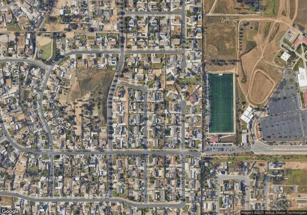
Map
Nearby Homes
- 2821 Riding Ring Rd
- 3577 Belgian Dr
- 2843 Broken Arrow St
- 2904 2nd St
- 3090 Bronco Ln
- 2386 Hialeah Cir
- 2384 Corydon Ave
- 2354 Corydon Ave
- 1233 Dale Cir
- 4058 Sundance Ln
- 2730 Vine Ave
- 2655 Hamner Ave
- 2145 Cloverleaf Cir
- 3090 Norco Dr
- 0 6th & Valleyview St Unit SW25164144
- 1642 4th St
- 1056 Lullaby Ln
- 1841 Providence Way
- 1051 Nottingham Dr
- 1044 Meadowview Ct
- 2351 Lonestar Dr
- 2391 Lonestar Dr
- 2372 Stallion Dr
- 2352 Stallion Dr
- 2392 Stallion Dr
- 2372 Lonestar Dr
- 2331 Lonestar Dr
- 2352 Lonestar Dr
- 2401 Lonestar Dr
- 2392 Lonestar Dr
- 2332 Stallion Dr
- 2332 Lonestar Dr
- 3105 Maricopa St
- 2401 Stallion Dr
- 2301 Lonestar Dr
- 2371 Western Ave
- 3125 Maricopa St
- 2402 Stetson Dr
- 2371 Stallion Dr
- 2351 Western Ave
Your Personal Tour Guide
Ask me questions while you tour the home.