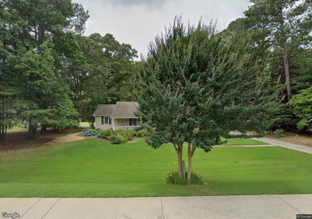
2371 Murdock Rd Marietta, GA 30062
East Cobb NeighborhoodEstimated Value: $447,633 - $517,000
3
Beds
2
Baths
1,608
Sq Ft
$301/Sq Ft
Est. Value
About This Home
This home is located at 2371 Murdock Rd, Marietta, GA 30062 and is currently estimated at $484,158, approximately $301 per square foot. 2371 Murdock Rd is a home located in Cobb County with nearby schools including Murdock Elementary School, Dodgen Middle School, and Pope High School.
Ownership History
Date
Name
Owned For
Owner Type
Purchase Details
Closed on
Feb 23, 1999
Sold by
Wood Linda D
Bought by
Fuqua Shirley B and Fuqua James R
Current Estimated Value
Home Financials for this Owner
Home Financials are based on the most recent Mortgage that was taken out on this home.
Original Mortgage
$141,550
Outstanding Balance
$33,792
Interest Rate
6.84%
Mortgage Type
New Conventional
Estimated Equity
$450,366
Create a Home Valuation Report for This Property
The Home Valuation Report is an in-depth analysis detailing your home's value as well as a comparison with similar homes in the area
Home Values in the Area
Average Home Value in this Area
Purchase History
| Date | Buyer | Sale Price | Title Company |
|---|---|---|---|
| Fuqua Shirley B | $149,000 | -- |
Source: Public Records
Mortgage History
| Date | Status | Borrower | Loan Amount |
|---|---|---|---|
| Open | Fuqua Shirley B | $141,550 |
Source: Public Records
Tax History Compared to Growth
Tax History
| Year | Tax Paid | Tax Assessment Tax Assessment Total Assessment is a certain percentage of the fair market value that is determined by local assessors to be the total taxable value of land and additions on the property. | Land | Improvement |
|---|---|---|---|---|
| 2025 | $894 | $160,892 | $100,396 | $60,496 |
| 2024 | $897 | $160,892 | $100,396 | $60,496 |
| 2023 | $646 | $145,912 | $93,224 | $52,688 |
| 2022 | $755 | $113,132 | $69,920 | $43,212 |
| 2021 | $755 | $113,132 | $69,920 | $43,212 |
| 2020 | $701 | $95,368 | $55,576 | $39,792 |
| 2019 | $701 | $95,368 | $55,576 | $39,792 |
| 2018 | $701 | $95,368 | $55,576 | $39,792 |
| 2017 | $600 | $86,404 | $46,612 | $39,792 |
| 2016 | $603 | $86,404 | $46,612 | $39,792 |
| 2015 | $623 | $79,232 | $39,440 | $39,792 |
| 2014 | $604 | $69,824 | $0 | $0 |
Source: Public Records
Map
Nearby Homes
- 3152 Normandy Cir NE
- 2260 Falkirk Pointe Dr
- 2186 Cedar Forks Dr
- 2197 Cedar Forks Dr Unit 1
- 2138 Cedar Forks Dr Unit 2
- 2726 Riderwood Ln NE
- 3091 Branford Ct
- 3025 Bunker Hill Cir
- 3297 Post Oak Tritt Rd
- 3237 Harvest Way
- 2607 Lulworth Ln
- 3287 Harvest Way
- 3292 Holly Mill Ct
- 2510 Camelot Cir
- 2041 Kramer Way
- 2268 Woodsfield Ln NE
- 2540 Stoney Brook Ln NE
- 2864 Saint Andrews Way NE
- 2361 Murdock Rd
- 2391 Murdock Rd
- 2351 Murdock Rd
- 2401 Prince Howard Ln Unit 623
- 2401 Prince Howard Ln
- 2410 Prince Howard Ln
- 2397 Prince Howard Ln
- 2333 Murdock Rd
- 2411 Prince Howard Ln
- 2420 Prince Howard Ln
- 2404 Murdock Rd
- 2327 Murdock Rd
- 2310 Brownstone Ct
- 2421 Prince Howard Ln
- 2321 Murdock Rd
- 2430 Prince Howard Ln
- 2431 Prince Howard Ln
- 2380 Brownstone Ct
- 2268 Brownlee Dr
- 2331 Murdock Rd