Estimated Value: $295,933 - $309,000
3
Beds
2
Baths
1,580
Sq Ft
$193/Sq Ft
Est. Value
About This Home
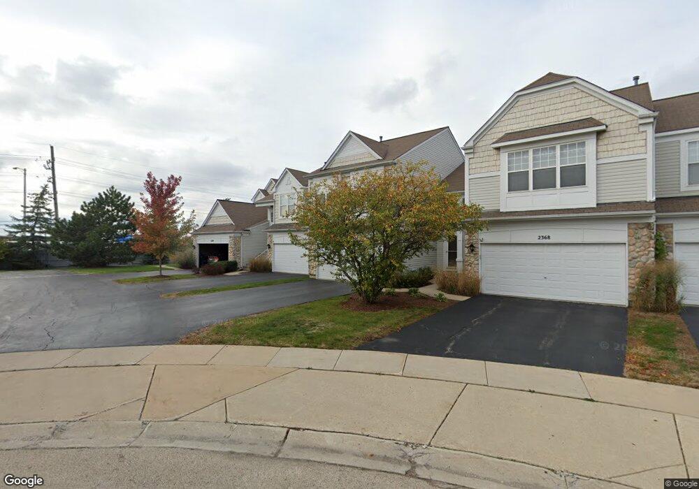
This home is located at 2372 Cove Ct Unit 132B, Elgin, IL 60123 and is currently estimated at $304,733, approximately $192 per square foot. 2372 Cove Ct Unit 132B is a home located in Kane County with nearby schools including Fox Meadow Elementary School, Kenyon Woods Middle School, and South Elgin High School.
Ownership History
Date
Name
Owned For
Owner Type
Purchase Details
Closed on
Aug 23, 1999
Sold by
Pulte Home Corp
Bought by
Daly Myra E
Current Estimated Value
Home Financials for this Owner
Home Financials are based on the most recent Mortgage that was taken out on this home.
Original Mortgage
$81,550
Outstanding Balance
$23,361
Interest Rate
7.61%
Estimated Equity
$281,372
Create a Home Valuation Report for This Property
The Home Valuation Report is an in-depth analysis detailing your home's value as well as a comparison with similar homes in the area
Home Values in the Area
Average Home Value in this Area
Purchase History
| Date | Buyer | Sale Price | Title Company |
|---|---|---|---|
| Daly Myra E | $142,500 | First American Title |
Source: Public Records
Mortgage History
| Date | Status | Borrower | Loan Amount |
|---|---|---|---|
| Open | Daly Myra E | $81,550 |
Source: Public Records
Tax History Compared to Growth
Tax History
| Year | Tax Paid | Tax Assessment Tax Assessment Total Assessment is a certain percentage of the fair market value that is determined by local assessors to be the total taxable value of land and additions on the property. | Land | Improvement |
|---|---|---|---|---|
| 2024 | $1,661 | $80,885 | $16,550 | $64,335 |
| 2023 | $1,769 | $73,074 | $14,952 | $58,122 |
| 2022 | $2,233 | $66,631 | $13,634 | $52,997 |
| 2021 | $2,298 | $62,295 | $12,747 | $49,548 |
| 2020 | $2,349 | $59,470 | $12,169 | $47,301 |
| 2019 | $2,405 | $56,649 | $11,592 | $45,057 |
| 2018 | $2,546 | $53,367 | $10,920 | $42,447 |
| 2017 | $2,649 | $50,451 | $10,323 | $40,128 |
| 2016 | $2,747 | $46,805 | $9,577 | $37,228 |
| 2015 | -- | $42,901 | $8,778 | $34,123 |
| 2014 | -- | $36,755 | $8,670 | $28,085 |
| 2013 | -- | $37,725 | $8,899 | $28,826 |
Source: Public Records
Map
Nearby Homes
- 1141 Delta Ct Unit 255E
- 1044 Reserve Dr
- 2464 Emily Ln
- 740 Fairview Ln
- 1410 Misthaven Ln
- 2527 Emily Ln
- 1458 Woodland Dr
- 761 Verde Vista Ct Unit 611F
- 2525 Rolling Ridge
- 2038 College Green Dr
- 25 Kingsport Ct
- 1524 S Pembroke Dr
- 512 Lowell Dr Unit 2
- 1236 Sandhurst Ln Unit 4
- 611 Woodbridge Dr
- 671 Fieldcrest Dr
- 2452 Daybreak Ct Unit 2452
- 9N621 Flora Dr Unit 1
- 1063 Manchester Ct Unit 1
- 210 Nicole Dr Unit A
- 2370 Cove Ct Unit 133D
- 2374 Cove Ct Unit 131A
- 2368 Cove Ct Unit 134D
- 2366 Cove Ct Unit 135B
- 2364 Cove Ct Unit 136A
- 1184 Delta Dr Unit 104D
- 1190 Delta Dr Unit 101A
- 1182 Delta Dr Unit 11822
- 1188 Delta Dr Unit 102B
- 1186 Delta Dr Unit 103C
- 1180 Delta Dr Unit 106A
- 2371 Cove Ct Unit 141E
- 2375 Cove Ct Unit 143D
- 2377 Cove Ct Unit 144E
- 2373 Cove Ct Unit 142C
- 2350 Cove Ct
- 2358 Cove Ct Unit 122B
- 2354 Cove Ct Unit 124D
- 2356 Cove Ct Unit 123C
- 2360 Cove Ct Unit 121