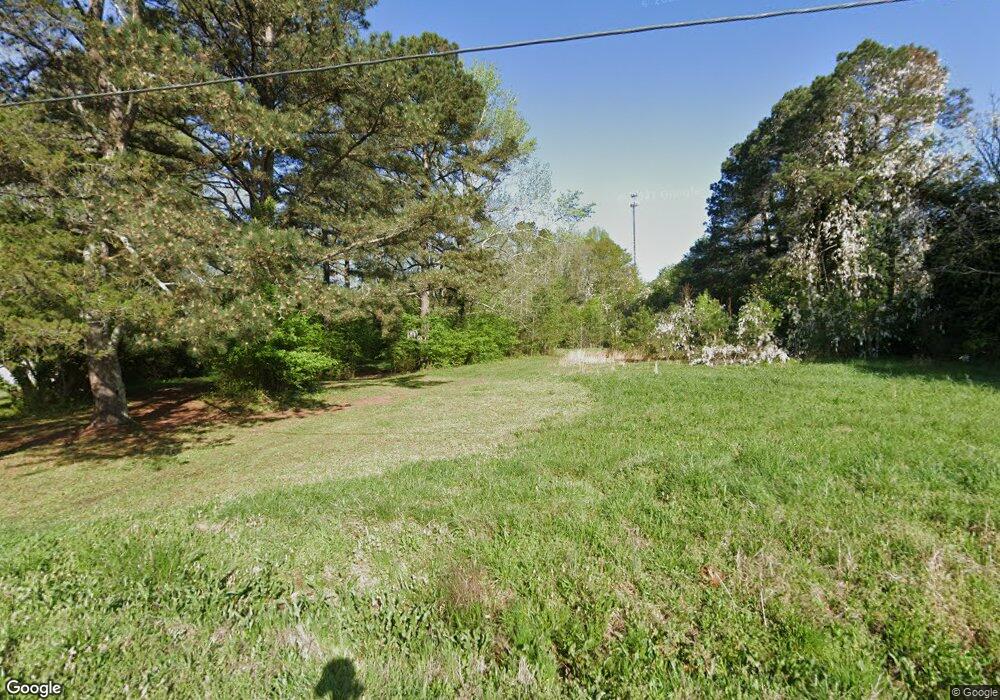
2372 Hancock Dr Unit 93 Social Circle, GA 30025
Estimated Value: $105,000 - $280,000
--
Bed
--
Bath
--
Sq Ft
1.6
Acres
About This Home
This home is located at 2372 Hancock Dr Unit 93, Social Circle, GA 30025 and is currently estimated at $193,667. 2372 Hancock Dr Unit 93 is a home located in Walton County with nearby schools including Harmony Elementary School, Carver Middle School, and Monroe Area High School.
Ownership History
Date
Name
Owned For
Owner Type
Purchase Details
Closed on
Dec 28, 2017
Sold by
Weathers Michael M
Bought by
Weathers Michael M and Weathers Stefanie
Current Estimated Value
Purchase Details
Closed on
Dec 4, 2015
Sold by
Payne Earl
Bought by
Apostolic Community Church Inc
Purchase Details
Closed on
Feb 25, 2014
Sold by
Wells Fargo Bank Na
Bought by
Payne Earl
Purchase Details
Closed on
Dec 6, 2011
Sold by
Cumming Marybeth
Bought by
Wells Fargo Bank Na
Create a Home Valuation Report for This Property
The Home Valuation Report is an in-depth analysis detailing your home's value as well as a comparison with similar homes in the area
Home Values in the Area
Average Home Value in this Area
Purchase History
| Date | Buyer | Sale Price | Title Company |
|---|---|---|---|
| Weathers Michael M | -- | -- | |
| Weathers Michael M | $8,000 | -- | |
| Apostolic Community Church Inc | -- | -- | |
| Payne Earl | $7,700 | -- | |
| Wells Fargo Bank Na | -- | -- |
Source: Public Records
Tax History Compared to Growth
Tax History
| Year | Tax Paid | Tax Assessment Tax Assessment Total Assessment is a certain percentage of the fair market value that is determined by local assessors to be the total taxable value of land and additions on the property. | Land | Improvement |
|---|---|---|---|---|
| 2024 | $743 | $25,200 | $25,200 | $0 |
| 2023 | $615 | $20,280 | $20,280 | $0 |
| 2022 | $567 | $17,920 | $17,920 | $0 |
| 2021 | $421 | $12,920 | $12,920 | $0 |
| 2020 | $350 | $10,480 | $10,480 | $0 |
| 2019 | $318 | $8,680 | $8,680 | $0 |
| 2018 | $107 | $8,680 | $8,680 | $0 |
| 2017 | $259 | $7,520 | $7,520 | $0 |
| 2016 | $221 | $6,520 | $6,520 | $0 |
| 2015 | $106 | $6,520 | $6,520 | $0 |
| 2014 | $201 | $5,680 | $0 | $0 |
Source: Public Records
Map
Nearby Homes
- 5761 Hancock Dr
- 2389 Pond Ln
- 0 Sewell Rd Unit 1023310
- 0 Sewell Rd Unit 10458533
- 2535 Willow Ln
- 271 Orwell Dr Unit 49
- 271 Orwell Dr
- 257 Orwell Dr Unit 48
- 330 Orwell Dr
- 330 Orwell Dr Unit 96
- 245 Orwell Dr
- 246 Orwell Dr
- 217 Orwell Dr
- 232 Orwell Dr
- 232 Orwell Dr Unit 99
- 857 Cooper Rd
- 218 Orwell Dr
- 218 Orwell Dr Unit 100
- 1249 Social Circle Pkwy
- 177 Orwell Dr
- 2372 Hancock Dr
- 2382 Hancock Dr
- 2464 Highway 278
- 2464 U S 278
- 2362 Hancock Dr
- 2352 Hancock Dr
- 2392 Hancock Dr
- 2484 Highway 278 SE
- 2353 Hancock Dr
- 2353 Hancock Dr Unit 79
- 2393 Hancock Dr
- 2444 Highway 278 SE Unit U
- 2402 Hancock Dr
- 2342 Hancock Dr
- 2424 Highway 278
- 2404 & 2424 Highway 278
- 2412 Hancock Dr
- 2509 U S 278
- 2511 U S Highway 278
- 2511 U S Hwy 278