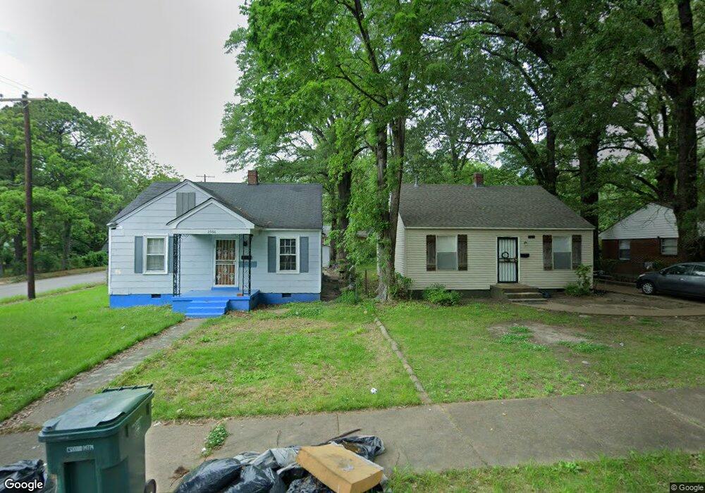
2372 Twain Ave Memphis, TN 38114
Southeast Memphis NeighborhoodEstimated Value: $56,000 - $82,000
2
Beds
1
Bath
772
Sq Ft
$87/Sq Ft
Est. Value
About This Home
This home is located at 2372 Twain Ave, Memphis, TN 38114 and is currently estimated at $67,081, approximately $86 per square foot. 2372 Twain Ave is a home located in Shelby County with nearby schools including Bethel Grove Elementary School, Sherwood Middle, and Melrose High School.
Ownership History
Date
Name
Owned For
Owner Type
Purchase Details
Closed on
Nov 9, 2018
Sold by
Cunningham James A
Bought by
Jcc Investment Llc
Current Estimated Value
Purchase Details
Closed on
Sep 15, 2008
Sold by
Us Bank Na
Bought by
Cunningham James A
Purchase Details
Closed on
Apr 10, 2008
Sold by
Powers Joe A and Powers Lue A
Bought by
Us Bank Na and Structured Asset Securities Corp Mortgag
Purchase Details
Closed on
Dec 8, 1999
Sold by
Wade Lizzie L
Bought by
Powers Joe A
Home Financials for this Owner
Home Financials are based on the most recent Mortgage that was taken out on this home.
Original Mortgage
$31,600
Interest Rate
6.5%
Create a Home Valuation Report for This Property
The Home Valuation Report is an in-depth analysis detailing your home's value as well as a comparison with similar homes in the area
Home Values in the Area
Average Home Value in this Area
Purchase History
| Date | Buyer | Sale Price | Title Company |
|---|---|---|---|
| Jcc Investment Llc | -- | Saddle Creek Title Llc | |
| Cunningham James A | $8,750 | Lehman Land Title Inc | |
| Us Bank Na | $41,608 | None Available | |
| Powers Joe A | $39,500 | -- | |
| Powers Joe A | $39,500 | -- |
Source: Public Records
Mortgage History
| Date | Status | Borrower | Loan Amount |
|---|---|---|---|
| Previous Owner | Powers Joe A | $31,600 | |
| Closed | Powers Joe A | $5,925 |
Source: Public Records
Tax History
| Year | Tax Paid | Tax Assessment Tax Assessment Total Assessment is a certain percentage of the fair market value that is determined by local assessors to be the total taxable value of land and additions on the property. | Land | Improvement |
|---|---|---|---|---|
| 2025 | $277 | $15,925 | $2,450 | $13,475 |
| 2024 | $277 | $8,175 | $1,125 | $7,050 |
| 2023 | $498 | $8,175 | $1,125 | $7,050 |
| 2022 | $498 | $8,175 | $1,125 | $7,050 |
| 2021 | $504 | $8,175 | $1,125 | $7,050 |
| 2020 | $424 | $5,850 | $1,125 | $4,725 |
| 2019 | $187 | $5,850 | $1,125 | $4,725 |
| 2018 | $187 | $5,850 | $1,125 | $4,725 |
| 2017 | $191 | $5,850 | $1,125 | $4,725 |
| 2016 | $258 | $5,900 | $0 | $0 |
| 2014 | $258 | $5,900 | $0 | $0 |
Source: Public Records
Map
Nearby Homes
- 1737 S Trezevant St
- 2383 Lowell Ave
- 2336 Boyle Ave
- 1059 S Willett St S
- 2481 Kimball Ave
- 2421 Arlington Ave
- 2370 Larose Ave
- 0 Airways Blvd Unit 10199303
- 2540 Malone Ave
- 2570 Malone Ave
- 2603 Arlington Ave
- 2369 Lamar Ave
- 1610 Lamar Ave
- 2589 Browning Ave
- 2151 Goff Ave
- 2149 Wabash Ave
- 2428 Lamar Cir
- 2607 Barron Ave
- 1536 Cella St
- 1499 Hamilton St
- 2376 Twain Ave
- 2366 Twain Ave
- 1776 S Trezevant St
- 2380 Twain Ave
- 2356 Twain Ave
- 2386 Twain Ave
- 1774 S Trezevant St
- 2355 Poe Ave
- 2350 Twain Ave
- 2390 Twain Ave
- 2371 Twain Ave
- 1768 S Trezevant St
- 2365 Twain Ave
- 2375 Twain Ave
- 2379 Twain Ave
- 2349 Poe Ave
- 2346 Twain Ave
- 1760 S Trezevant St
- 2396 Twain Ave
- 2355 Twain Ave
Your Personal Tour Guide
Ask me questions while you tour the home.