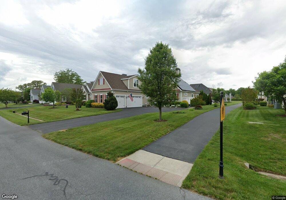
23733 Samuel Adams Cir Millsboro, DE 19966
Harbeson NeighborhoodEstimated Value: $573,252 - $673,000
3
Beds
2
Baths
2,849
Sq Ft
$215/Sq Ft
Est. Value
About This Home
This home is located at 23733 Samuel Adams Cir, Millsboro, DE 19966 and is currently estimated at $612,063, approximately $214 per square foot. 23733 Samuel Adams Cir is a home located in Sussex County with nearby schools including Love Creek Elementary School, Mariner Middle School, and Cape Henlopen High School.
Ownership History
Date
Name
Owned For
Owner Type
Purchase Details
Closed on
Jan 19, 2012
Bought by
Powell Carl G and Powell Lana M
Current Estimated Value
Home Financials for this Owner
Home Financials are based on the most recent Mortgage that was taken out on this home.
Original Mortgage
$371,716
Outstanding Balance
$254,105
Interest Rate
3.92%
Estimated Equity
$357,958
Purchase Details
Closed on
Jan 18, 2012
Bought by
Powell Carl G and Powell Lana M
Home Financials for this Owner
Home Financials are based on the most recent Mortgage that was taken out on this home.
Original Mortgage
$371,716
Outstanding Balance
$254,105
Interest Rate
3.92%
Estimated Equity
$357,958
Create a Home Valuation Report for This Property
The Home Valuation Report is an in-depth analysis detailing your home's value as well as a comparison with similar homes in the area
Home Values in the Area
Average Home Value in this Area
Purchase History
| Date | Buyer | Sale Price | Title Company |
|---|---|---|---|
| Powell Carl G | $464,645 | -- | |
| Powell Carl G | $464,645 | -- |
Source: Public Records
Mortgage History
| Date | Status | Borrower | Loan Amount |
|---|---|---|---|
| Open | Powell Carl G | $371,716 | |
| Closed | Powell Carl G | $371,716 |
Source: Public Records
Tax History Compared to Growth
Tax History
| Year | Tax Paid | Tax Assessment Tax Assessment Total Assessment is a certain percentage of the fair market value that is determined by local assessors to be the total taxable value of land and additions on the property. | Land | Improvement |
|---|---|---|---|---|
| 2025 | $776 | $36,550 | $5,000 | $31,550 |
| 2024 | $1,302 | $36,550 | $5,000 | $31,550 |
| 2023 | $1,300 | $36,550 | $5,000 | $31,550 |
| 2022 | $1,237 | $36,550 | $5,000 | $31,550 |
| 2021 | $1,321 | $36,550 | $5,000 | $31,550 |
| 2020 | $1,316 | $36,550 | $5,000 | $31,550 |
| 2019 | $1,318 | $36,550 | $5,000 | $31,550 |
| 2018 | $1,205 | $36,550 | $0 | $0 |
| 2017 | $1,137 | $36,550 | $0 | $0 |
| 2016 | $974 | $36,900 | $0 | $0 |
| 2015 | $908 | $36,900 | $0 | $0 |
| 2014 | $898 | $36,900 | $0 | $0 |
Source: Public Records
Map
Nearby Homes
- 29738 Oliver Wolcott Dr
- 23792 Samuel Adams Cir
- 29432 Andrew Jackson Dr
- 23862 Samuel Adams Cir
- 24006 Benjamin Harrison Cir
- 24877 Stevenson Rd
- 29688 Patrick Henry Cir
- TBB Scarough Ln Unit ANTIGUA
- 2 Falcon Crest Dr
- 24692 Michael Isler Ave
- 24700 Michael Isler Ave
- 24735 Ridgeville Way
- 24711 Ridgeville Way
- Exeter Plan at Pelican Point
- Guilford Plan at Pelican Point
- Fairfield Plan at Pelican Point
- Hanover Plan at Pelican Point
- Latitude Plan at Wetherby
- Barbados Plan at Wetherby
- St. Kitts Plan at Wetherby
- 23729 Samuel Adams Cir
- 23737 Samuel Adams Cir
- 29690 Franklin Roosevelt Ln
- 23727 Samuel Adams Cir
- 29694 Franklin Roosevelt Ln
- 29688 Franklin Roosevelt Ln
- 23741 Samuel Adams Cir
- 23734 Samuel Adams Cir
- 23730 Samuel Adams Cir
- 23738 Samuel Adams Cir
- 29684 Franklin Roosevelt Ln
- 29700 Franklin Roosevelt Ln
- 23728 Samuel Adams Cir
- 23723 Samuel Adams Cir
- 23740 Samuel Adams Cir
- 23743 Samuel Adams Cir
- 23724 Samuel Adams Cir
- 29680 Franklin Roosevelt Ln
- 29691 Franklin Roosevelt Ln
- 23719 Samuel Adams Cir