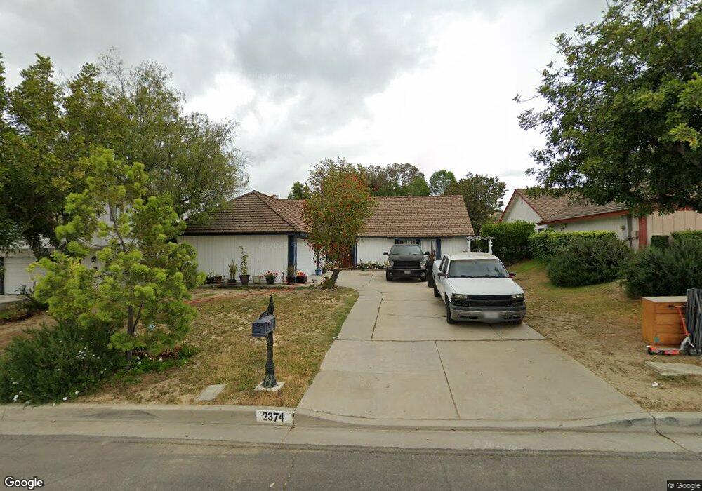
2374 Bluehaven Dr Rowland Heights, CA 91748
Estimated Value: $1,078,025 - $1,396,000
4
Beds
2
Baths
1,996
Sq Ft
$625/Sq Ft
Est. Value
About This Home
This home is located at 2374 Bluehaven Dr, Rowland Heights, CA 91748 and is currently estimated at $1,246,506, approximately $624 per square foot. 2374 Bluehaven Dr is a home located in Los Angeles County with nearby schools including Shelyn Elementary School, Alvarado Intermediate School, and John A. Rowland High School.
Ownership History
Date
Name
Owned For
Owner Type
Purchase Details
Closed on
Dec 29, 2008
Sold by
Cheng Franklin
Bought by
Cheng Franklin Yuh Tsong and Franklin Yuh Tsong Cheng Living Trust
Current Estimated Value
Purchase Details
Closed on
Feb 26, 2003
Sold by
Lin Wei Rong
Bought by
Cheng Franklin
Home Financials for this Owner
Home Financials are based on the most recent Mortgage that was taken out on this home.
Original Mortgage
$297,500
Interest Rate
5.73%
Create a Home Valuation Report for This Property
The Home Valuation Report is an in-depth analysis detailing your home's value as well as a comparison with similar homes in the area
Home Values in the Area
Average Home Value in this Area
Purchase History
| Date | Buyer | Sale Price | Title Company |
|---|---|---|---|
| Cheng Franklin Yuh Tsong | -- | None Available | |
| Cheng Franklin | $397,500 | Fidelity Natl Title Ins Co |
Source: Public Records
Mortgage History
| Date | Status | Borrower | Loan Amount |
|---|---|---|---|
| Closed | Cheng Franklin | $297,500 |
Source: Public Records
Tax History Compared to Growth
Tax History
| Year | Tax Paid | Tax Assessment Tax Assessment Total Assessment is a certain percentage of the fair market value that is determined by local assessors to be the total taxable value of land and additions on the property. | Land | Improvement |
|---|---|---|---|---|
| 2025 | $8,083 | $624,366 | $449,842 | $174,524 |
| 2024 | $8,083 | $612,124 | $441,022 | $171,102 |
| 2023 | $7,718 | $600,123 | $432,375 | $167,748 |
| 2022 | $7,551 | $588,357 | $423,898 | $164,459 |
| 2021 | $7,426 | $576,822 | $415,587 | $161,235 |
| 2019 | $7,205 | $559,714 | $403,261 | $156,453 |
| 2018 | $6,874 | $548,740 | $395,354 | $153,386 |
| 2016 | $6,614 | $527,433 | $380,002 | $147,431 |
| 2015 | $6,040 | $479,010 | $374,295 | $104,715 |
| 2014 | $6,033 | $469,628 | $366,964 | $102,664 |
Source: Public Records
Map
Nearby Homes
- 2366 Pepperdale Dr
- 19519 Greenwillow Ln
- 2350 Robert Rd
- 2189 Wind River Ln
- 1943 Arcdale Ave
- 2147 Wind River Ln
- 1953 Camwood Ave
- 2251 Cascade Way
- 19173 Hastings St
- 1919 Brea Canyon Cut-Off Rd
- 2360 Oakleaf Canyon Rd
- 1703 Hollandale Ave
- 2572 Carlton Place
- 20374 Bickford Dr
- 2517 Windsor Place
- 18918 Kensley Place
- 2270 Paso Real Ave
- 19527 Cronin Dr
- 20456 Holcroft Dr
- 2353 Almeza Ave
- 2380 Bluehaven Dr
- 2366 Bluehaven Dr
- 2358 Bluehaven Dr
- 2388 Bluehaven Dr
- 2431 Flintwood Dr
- 2439 Flintwood Dr
- 2354 Bluehaven Dr
- 2445 Flintwood Dr
- 2394 Bluehaven Dr
- 2427 Flintwood Dr
- 2375 Bluehaven Dr
- 2367 Bluehaven Dr
- 2453 Flintwood Dr
- 2344 Bluehaven Dr
- 2389 Bluehaven Dr
- 2381 Bluehaven Dr
- 2381 Blue Haven Dr
- 2359 Bluehaven Dr
- 2421 Flintwood Dr
- 2353 Bluehaven Dr