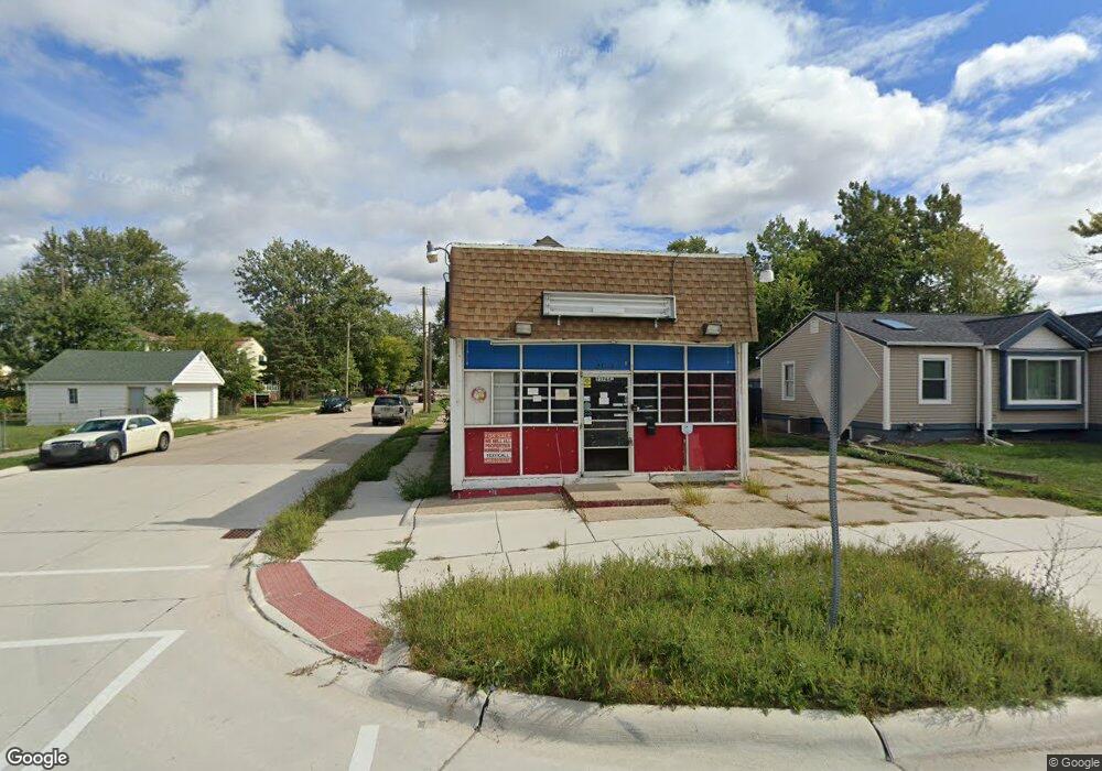
23764 Mac Arthur Blvd Warren, MI 48089
Southeast Warren NeighborhoodEstimated Value: $125,000 - $140,000
2
Beds
2
Baths
1,539
Sq Ft
$85/Sq Ft
Est. Value
About This Home
This home is located at 23764 Mac Arthur Blvd, Warren, MI 48089 and is currently estimated at $131,319, approximately $85 per square foot. 23764 Mac Arthur Blvd is a home located in Macomb County with nearby schools including Lincoln Middle School and Lincoln High School.
Ownership History
Date
Name
Owned For
Owner Type
Purchase Details
Closed on
Sep 26, 2023
Sold by
Macomb County Treasurer
Bought by
Selman Transportation
Current Estimated Value
Purchase Details
Closed on
Jan 2, 2013
Sold by
Dawood Hazem D and Toma Jackleen
Bought by
Rsden Llc
Purchase Details
Closed on
Jan 25, 2008
Sold by
Dawood Hazem D and Toma Jackleen
Bought by
Rsdn Llc
Purchase Details
Closed on
Jul 21, 1999
Sold by
Konja Andy E
Bought by
Sail Dawood
Create a Home Valuation Report for This Property
The Home Valuation Report is an in-depth analysis detailing your home's value as well as a comparison with similar homes in the area
Home Values in the Area
Average Home Value in this Area
Purchase History
| Date | Buyer | Sale Price | Title Company |
|---|---|---|---|
| Selman Transportation | $18,600 | None Listed On Document | |
| Rsden Llc | $1,250,000 | None Available | |
| Rsdn Llc | -- | Greco | |
| Sail Dawood | $75,000 | -- |
Source: Public Records
Tax History
| Year | Tax Paid | Tax Assessment Tax Assessment Total Assessment is a certain percentage of the fair market value that is determined by local assessors to be the total taxable value of land and additions on the property. | Land | Improvement |
|---|---|---|---|---|
| 2025 | $2,646 | $36,130 | $0 | $0 |
| 2024 | $27 | $37,430 | $0 | $0 |
| 2023 | $2,529 | $50,210 | $0 | $0 |
| 2022 | $2,204 | $46,710 | $0 | $0 |
| 2021 | $1,777 | $43,200 | $0 | $0 |
| 2020 | $1,442 | $37,130 | $0 | $0 |
| 2019 | $1,404 | $33,630 | $0 | $0 |
| 2018 | $0 | $21,250 | $0 | $0 |
| 2017 | $1,364 | $20,790 | $2,700 | $18,090 |
| 2016 | $1,353 | $20,790 | $0 | $0 |
| 2015 | -- | $20,120 | $0 | $0 |
| 2012 | -- | $20,240 | $0 | $0 |
Source: Public Records
Map
Nearby Homes
- 8620 Stephens Rd
- 8493 Jewett Ave
- 8517 Essex Ave
- 8659 Essex Ave
- 8420 Jewett Ave
- 8459 Timken Ave
- 8427 Timken Ave
- 8619 Lozier Ave
- 8275 Essex Ave
- 8653 Sterling St
- 8734 Sterling St
- 8436 Lozier Ave
- 11108 Essex Ave
- 8276 Timken Ave
- 8291 Lozier Ave
- 11208 Stephens Rd
- 8755 Sterling St
- 11028 Lozier Ave
- 8211 Standard
- 8602 Kaltz St
- 23750 Mac Arthur Blvd
- 23806 Mac Arthur Blvd
- 23807 Macarthur
- 23724 Mac Arthur Blvd
- 8634 Chapp Ave
- 23814 Mac Arthur Blvd
- 8627 Chapp Ave
- 8642 Chapp Ave
- 23638 Mac Arthur Blvd
- 23824 Mac Arthur Blvd
- 8633 Chapp Ave
- 23767 Mac Arthur Blvd
- 23753 Mac Arthur Blvd
- 23739 Mac Arthur Blvd
- 8650 Chapp Ave
- 8643 Chapp Ave
- 23630 Mac Arthur Blvd
- 23727 Mac Arthur Blvd
- 8625 Jewett Ave
- 23815 Mac Arthur Blvd
Your Personal Tour Guide
Ask me questions while you tour the home.