2377 W 12th St N Newton, IA 50208
Estimated Value: $277,000 - $310,052
2
Beds
2
Baths
988
Sq Ft
$302/Sq Ft
Est. Value
About This Home
This home is located at 2377 W 12th St N, Newton, IA 50208 and is currently estimated at $298,263, approximately $301 per square foot. 2377 W 12th St N is a home located in Jasper County with nearby schools including Thomas Jefferson Elementary School, Woodrow Wilson Elementary School, and Berg Middle School.
Ownership History
Date
Name
Owned For
Owner Type
Purchase Details
Closed on
May 9, 2012
Sold by
Brown Donna Rae and Ulrey Virgil
Bought by
Brown Donna Rae and Ulrey Virgil
Current Estimated Value
Home Financials for this Owner
Home Financials are based on the most recent Mortgage that was taken out on this home.
Original Mortgage
$91,000
Interest Rate
4%
Mortgage Type
New Conventional
Create a Home Valuation Report for This Property
The Home Valuation Report is an in-depth analysis detailing your home's value as well as a comparison with similar homes in the area
Home Values in the Area
Average Home Value in this Area
Purchase History
| Date | Buyer | Sale Price | Title Company |
|---|---|---|---|
| Brown Donna Rae | -- | First United Title Agency |
Source: Public Records
Mortgage History
| Date | Status | Borrower | Loan Amount |
|---|---|---|---|
| Closed | Brown Donna Rae | $91,000 |
Source: Public Records
Tax History Compared to Growth
Tax History
| Year | Tax Paid | Tax Assessment Tax Assessment Total Assessment is a certain percentage of the fair market value that is determined by local assessors to be the total taxable value of land and additions on the property. | Land | Improvement |
|---|---|---|---|---|
| 2025 | $3,048 | $309,370 | $65,600 | $243,770 |
| 2024 | $3,048 | $244,370 | $45,680 | $198,690 |
| 2023 | $2,950 | $244,370 | $45,680 | $198,690 |
| 2022 | $2,680 | $207,810 | $45,680 | $162,130 |
| 2021 | $2,614 | $190,100 | $45,680 | $144,420 |
| 2020 | $2,614 | $176,280 | $35,230 | $141,050 |
| 2019 | $2,490 | $157,690 | $0 | $0 |
| 2018 | $2,490 | $157,060 | $0 | $0 |
| 2017 | $2,396 | $151,880 | $0 | $0 |
| 2016 | $2,396 | $151,880 | $0 | $0 |
| 2015 | $2,334 | $149,180 | $0 | $0 |
| 2014 | $2,246 | $149,180 | $0 | $0 |
Source: Public Records
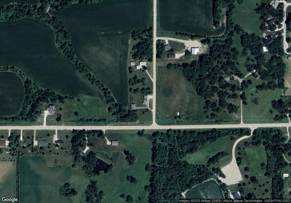
Map
Nearby Homes
- 1525 1st St N
- 1005 W 8th St N
- 1401 1st St N
- 1420 1st St N
- 3735 W 3rd St N
- 1650 W 28th St N
- 316 N 9th Ave W
- 549 W 10th St N
- 606 W 16th St N
- 831 1st St N
- 304 W 11th St N
- 506 N 8th Ave E
- 817 E 6th St N
- 701 E 5th St N
- 918 E 6th St N
- 1100 1st Ave W
- 1000 1st Ave W
- 720 N 9th Ave E
- 124 Emerson Hough Dr
- 420 1st Ave W
- 440 N 23rd Ave W
- 0 N 23rd Ave W Unit 594034
- 0 N 23rd Ave W
- 2493 W 12th St N
- 2542 W 12th St N Unit A
- 2542 W 12th St N
- 1192 N 23rd Ave W
- 956 Highway F36 W
- 1401 N 23rd Ave W Unit C
- 1401 N 23rd Ave W
- 1401 N 23rd Ave W Unit B
- 1401 N 23rd Ave W
- 1419 N 23rd Ave W
- 1508 Highway F36 W
- 868 Highway F36 W
- 889 Highway F36 W
- 1501 N 23rd Ave W
- 1517 N 23rd Ave W
- 1060 High Ave
- 776 Highway F36 W