2378 Canyon Rd Barnhart, MO 63012
Estimated Value: $178,000 - $337,000
4
Beds
3
Baths
1,312
Sq Ft
$220/Sq Ft
Est. Value
About This Home
This home is located at 2378 Canyon Rd, Barnhart, MO 63012 and is currently estimated at $288,887, approximately $220 per square foot. 2378 Canyon Rd is a home located in Jefferson County with nearby schools including Antonia Elementary School, Antonia Middle School, and Seckman Senior High School.
Ownership History
Date
Name
Owned For
Owner Type
Purchase Details
Closed on
Jan 31, 2020
Sold by
Meynell Robert and Meynell Judith
Bought by
Meynell Properties Iii Llc
Current Estimated Value
Purchase Details
Closed on
Dec 8, 2014
Sold by
Fancher Donald T
Bought by
Liv Fancher Donald T and Donald T Fancher Revocable Living Trust
Purchase Details
Closed on
Jun 14, 2013
Sold by
Mccormack Kristine V and Estate Of John M Haus
Bought by
Meynell Robert A and Meynell Judith F
Purchase Details
Closed on
Dec 1, 1989
Sold by
Haus John M and Haus Vicki
Bought by
Haus John M
Create a Home Valuation Report for This Property
The Home Valuation Report is an in-depth analysis detailing your home's value as well as a comparison with similar homes in the area
Home Values in the Area
Average Home Value in this Area
Purchase History
We collect this data history from publicly available records. To have your information removed, we recommend requesting removal directly through your county’s website.
| Date | Buyer | Sale Price | Title Company |
|---|---|---|---|
| Meynell Properties Iii Llc | -- | None Available | |
| Liv Fancher Donald T | -- | None Available | |
| Meynell Robert A | $63,000 | None Available | |
| Haus John M | -- | -- |
Source: Public Records
Tax History
| Year | Tax Paid | Tax Assessment Tax Assessment Total Assessment is a certain percentage of the fair market value that is determined by local assessors to be the total taxable value of land and additions on the property. | Land | Improvement |
|---|---|---|---|---|
| 2025 | $2,295 | $36,100 | $5,900 | $30,200 |
| 2024 | $2,295 | $33,700 | $5,900 | $27,800 |
| 2023 | $2,295 | $33,700 | $5,900 | $27,800 |
| 2022 | $2,293 | $33,700 | $5,900 | $27,800 |
| 2021 | $2,294 | $33,700 | $5,900 | $27,800 |
| 2020 | $2,215 | $30,400 | $5,400 | $25,000 |
| 2019 | $2,213 | $30,400 | $5,400 | $25,000 |
| 2018 | $2,194 | $30,400 | $5,400 | $25,000 |
| 2017 | $2,120 | $30,400 | $5,400 | $25,000 |
| 2016 | $1,941 | $27,800 | $5,400 | $22,400 |
| 2015 | $1,882 | $27,800 | $5,400 | $22,400 |
| 2013 | $1,882 | $26,800 | $4,900 | $21,900 |
Source: Public Records
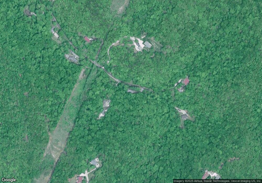
Map
Nearby Homes
- 2135 Birchwood Dr
- 2192 Meadow Dr
- 129 Blue Spruce Ct
- 1962 Birchwood Dr
- 2042 Catlin Dr
- 2350 Fountain Dr
- 2727 Red Maple Dr
- 6778 Sycamore Landing
- 2208 Valleyview Dr
- 1955 Parkton Way
- 2270 Valleyview Dr
- Lot 41 Valleyview Dr
- 1910 Catlin Dr
- 1660 Old State Road M
- 1767 Williamsburg Dr
- 000 State Road M
- 7213 Burgess Dr
- 7216 Burgess Dr
- 7283 Meriwether Ct
- 7098 Ridge Dr
- 2420 Canyon Rd
- 2425 Canyon Rd
- 2351 Canyon Rd
- 2350 Canyon Rd
- 2450 Canyon Rd
- 2465 Canyon Rd
- 2600 Cooper Rd
- 0TBB Hunters Glen-Copper
- 2607 Cooper Rd
- 7601 Saxon Rd
- 2613 Cooper Rd
- 0 Moss Hollow - Residential Lots Ln Unit 90001209
- 2478 Moss Dr
- 2505 Canyon Rd
- 2475 Moss Dr
- 2530 Canyon Rd
- 7609 Saxon Rd
- 33 Saxon Rd
- 2291 Parkton Way
- 2292 Parkton Way
Your Personal Tour Guide
Ask me questions while you tour the home.