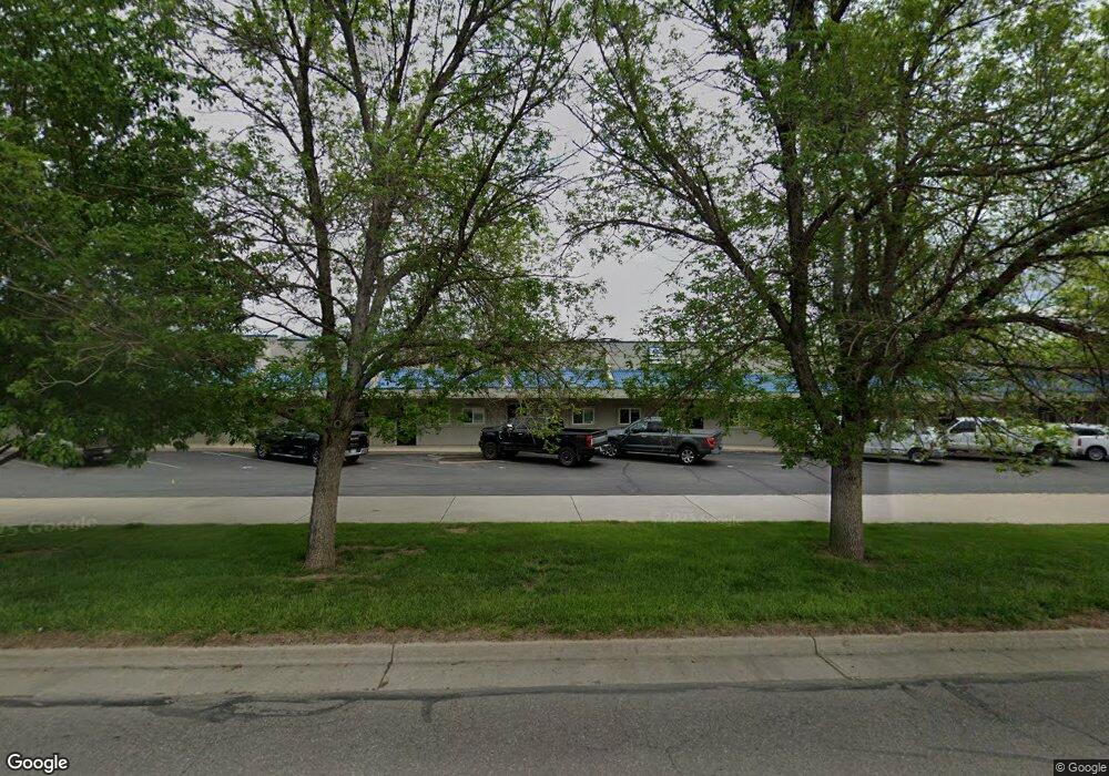
2379 W 8th St Unit B6 Loveland, CO 80537
Estimated Value: $350,969 - $405,000
--
Bed
--
Bath
1,640
Sq Ft
$230/Sq Ft
Est. Value
About This Home
This home is located at 2379 W 8th St Unit B6, Loveland, CO 80537 and is currently estimated at $377,985, approximately $230 per square foot. 2379 W 8th St Unit B6 is a home located in Larimer County with nearby schools including Garfield Elementary School, Bill Reed Middle School, and Loveland High School.
Ownership History
Date
Name
Owned For
Owner Type
Purchase Details
Closed on
Aug 31, 1998
Sold by
Carfield Ronald K and Meyer Stanley
Bought by
2379 West 8Th Street Llc
Current Estimated Value
Home Financials for this Owner
Home Financials are based on the most recent Mortgage that was taken out on this home.
Original Mortgage
$70,206
Interest Rate
6.93%
Mortgage Type
Commercial
Create a Home Valuation Report for This Property
The Home Valuation Report is an in-depth analysis detailing your home's value as well as a comparison with similar homes in the area
Home Values in the Area
Average Home Value in this Area
Purchase History
| Date | Buyer | Sale Price | Title Company |
|---|---|---|---|
| 2379 West 8Th Street Llc | $93,608 | Land Title |
Source: Public Records
Mortgage History
| Date | Status | Borrower | Loan Amount |
|---|---|---|---|
| Closed | 2379 West 8Th Street Llc | $70,206 |
Source: Public Records
Tax History Compared to Growth
Tax History
| Year | Tax Paid | Tax Assessment Tax Assessment Total Assessment is a certain percentage of the fair market value that is determined by local assessors to be the total taxable value of land and additions on the property. | Land | Improvement |
|---|---|---|---|---|
| 2025 | $4,077 | $59,455 | $16,154 | $43,301 |
| 2024 | $3,932 | $59,455 | $16,154 | $43,301 |
| 2022 | $4,982 | $62,611 | $13,746 | $48,865 |
| 2021 | $4,976 | $62,611 | $13,746 | $48,865 |
| 2020 | $3,632 | $45,675 | $7,627 | $38,048 |
| 2019 | $3,570 | $45,675 | $7,627 | $38,048 |
| 2018 | $3,067 | $37,265 | $7,627 | $29,638 |
| 2017 | $2,641 | $37,265 | $7,627 | $29,638 |
| 2016 | $2,233 | $30,450 | $7,627 | $22,823 |
| 2015 | $2,215 | $30,450 | $7,630 | $22,820 |
| 2014 | $1,832 | $24,360 | $7,630 | $16,730 |
Source: Public Records
Map
Nearby Homes
- 1131 W Broadmoor Dr
- 803 Imperial Ct
- 1125 W Broadmoor Dr
- 1108 Milner Ave
- 1209 E Broadmoor Dr
- 2387 W U S 34
- 1304 Pine St
- 1682 Stove Prairie Cir
- 1670 Stove Prairie Cir
- 2030 W 17th St Unit A8
- 901 W Kelly Dr
- 1633 Van Buren Ave Unit 1
- 1718 Dotsero Ave
- 1714 W 8th St
- 1607 W U S 34
- 1658 Taft Gardens Cir
- 1667 Taft Gardens Cir
- 1812 Van Buren Ave
- 2467 Farisita Dr
- 1726 Kennedy Ave
- 2375 W 8th St Unit 5
- 2375 W 8th St
- 2367 W 8th St Unit 3
- 2359 W 8th St Unit 1
- 2379 W 8th St Unit 6
- 2371 W 8th St Unit 1
- 2387 W 8th St Unit 8
- 2387 W 8th St
- 2383 W 8th St
- 2395 W 8th St
- 2395 W 8th St Unit 10
- 2335 W 8th St
- 2335 W 8th St Unit 5
- 2339 W 8th St Unit 6
- 2339 W 8th St
- 2327 W 8th St Unit 3
- 2331 W 8th St Unit A4
- 2327 W 8th St Unit A3-A4
- 2319 W 8th St Unit A1- A4
- 2319 W 8th St Unit A1