23791 V 66 Trail Montrose, CO 81403
Estimated Value: $272,000 - $320,000
1
Bed
1
Bath
432
Sq Ft
$662/Sq Ft
Est. Value
About This Home
This home is located at 23791 V 66 Trail, Montrose, CO 81403 and is currently estimated at $286,089, approximately $662 per square foot. 23791 V 66 Trail is a home located in Montrose County with nearby schools including Cottonwood Elementary School, Columbine Middle School, and Montrose High School.
Ownership History
Date
Name
Owned For
Owner Type
Purchase Details
Closed on
Oct 20, 2025
Sold by
Bangert Monica J
Bought by
Conway Eland and Mouriquand Kimberly
Current Estimated Value
Home Financials for this Owner
Home Financials are based on the most recent Mortgage that was taken out on this home.
Original Mortgage
$221,203
Outstanding Balance
$221,203
Interest Rate
6.5%
Mortgage Type
New Conventional
Estimated Equity
$64,886
Purchase Details
Closed on
Jul 10, 2025
Sold by
Bangert David P and Bangert Monica J
Bought by
Bangert David P and Bangert Monica J
Purchase Details
Closed on
May 22, 2024
Sold by
Bangert David P
Bought by
Bangert David P and Bangert Monica J
Purchase Details
Closed on
Aug 27, 1998
Sold by
Smith Daniel L
Bought by
Bangert David P
Purchase Details
Closed on
Aug 14, 1986
Bought by
Smith Daniel Lee
Create a Home Valuation Report for This Property
The Home Valuation Report is an in-depth analysis detailing your home's value as well as a comparison with similar homes in the area
Home Values in the Area
Average Home Value in this Area
Purchase History
| Date | Buyer | Sale Price | Title Company |
|---|---|---|---|
| Conway Eland | $280,000 | Land Title | |
| Bangert David P | -- | None Listed On Document | |
| Bangert David P | -- | None Listed On Document | |
| Bangert David P | $95,000 | -- | |
| Smith Daniel Lee | $25,000 | -- |
Source: Public Records
Mortgage History
| Date | Status | Borrower | Loan Amount |
|---|---|---|---|
| Open | Conway Eland | $221,203 |
Source: Public Records
Tax History Compared to Growth
Tax History
| Year | Tax Paid | Tax Assessment Tax Assessment Total Assessment is a certain percentage of the fair market value that is determined by local assessors to be the total taxable value of land and additions on the property. | Land | Improvement |
|---|---|---|---|---|
| 2024 | $1,032 | $14,500 | $9,080 | $5,420 |
| 2023 | $1,032 | $18,870 | $11,820 | $7,050 |
| 2022 | $752 | $10,930 | $6,260 | $4,670 |
| 2021 | $776 | $11,250 | $6,440 | $4,810 |
| 2020 | $828 | $12,340 | $8,370 | $3,970 |
| 2019 | $833 | $12,340 | $8,370 | $3,970 |
| 2018 | $713 | $10,300 | $6,480 | $3,820 |
| 2017 | $707 | $10,300 | $6,480 | $3,820 |
| 2016 | $559 | $8,270 | $4,620 | $3,650 |
| 2015 | $549 | $8,270 | $4,620 | $3,650 |
| 2014 | $470 | $7,580 | $4,620 | $2,960 |
Source: Public Records
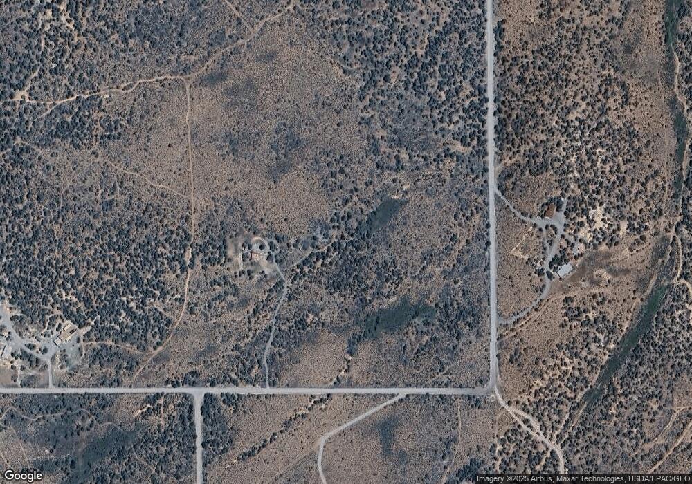
Map
Nearby Homes
- 23835 V66 Trail
- TBD Government Springs Rd
- 830 Tiyoweh Trail
- TBD Highway 550
- TBD Old Hwy 90
- TBD Highway 90
- TBD Solar Rd
- TBD 6300 Rd
- 22465 Horsefly Rd
- 999 Coral Bell Dr
- 23855 Horsefly Rd
- 67864 and 67918 Wildcat Trail
- TBD Cotton Ln
- 1917 County Road 22
- 277 Cotton Ln
- TBD Buckhorn Rd
- 20891 Solitude Rd
- 255 Melody Ln
- 22207 6840 Ct
- TBD Ute Valley Dr Unit Lot 1
- 23817 V66 Trail
- V 66 Trail
- V 66 Trail Unit 2 homes
- V 66 Trail Unit and 23825 v66 trai
- 23833 V 66 Trail
- 23825 V 66 Trail
- 23825 V66 Trail
- 23825 V66 Trail
- 23664 V66 Trail
- 23786 V 66 Trail
- 23982 V 66 Trail
- 23982 V66 Trail
- 23544 V 66 Trail
- 23325 V 66 Trail
- T and M Rd
- V66 Trail
- 23404 V66 Trail
- 23847 V 66 Trail
- 24042 V66 Trail
- 24042 V 66 Trail