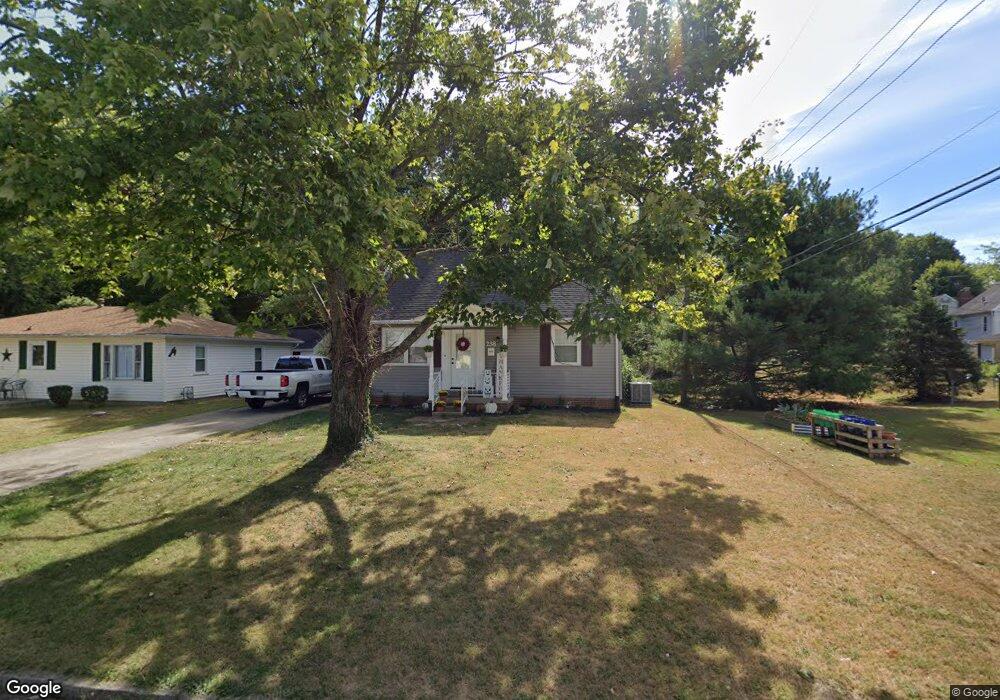
238 Adams St Lancaster, OH 43130
Estimated Value: $186,000 - $204,701
2
Beds
1
Bath
1,165
Sq Ft
$171/Sq Ft
Est. Value
About This Home
This home is located at 238 Adams St, Lancaster, OH 43130 and is currently estimated at $198,925, approximately $170 per square foot. 238 Adams St is a home located in Fairfield County with nearby schools including Tarhe Elementary School, General Sherman Junior High School, and Lancaster High School.
Ownership History
Date
Name
Owned For
Owner Type
Purchase Details
Closed on
Mar 15, 2024
Sold by
Blp Investment Properties Llc
Bought by
Vcw Properties Llc
Current Estimated Value
Purchase Details
Closed on
Dec 30, 2019
Sold by
Sep Investment Properties Llc
Bought by
Blp Ivestment Properties Llc
Purchase Details
Closed on
Jan 26, 2011
Sold by
Bank Of America National Association
Bought by
Parrish Properties Llc
Purchase Details
Closed on
Aug 5, 2010
Sold by
Thimmes William N and Case #2010Cv00334
Bought by
Bank Of America National Association
Create a Home Valuation Report for This Property
The Home Valuation Report is an in-depth analysis detailing your home's value as well as a comparison with similar homes in the area
Home Values in the Area
Average Home Value in this Area
Purchase History
| Date | Buyer | Sale Price | Title Company |
|---|---|---|---|
| Vcw Properties Llc | $92,000 | None Listed On Document | |
| Blp Ivestment Properties Llc | -- | None Available | |
| Parrish Properties Llc | $34,600 | Landcastle Title Llc | |
| Bank Of America National Association | $56,000 | Attorney |
Source: Public Records
Tax History
| Year | Tax Paid | Tax Assessment Tax Assessment Total Assessment is a certain percentage of the fair market value that is determined by local assessors to be the total taxable value of land and additions on the property. | Land | Improvement |
|---|---|---|---|---|
| 2025 | $4,228 | $65,970 | $16,010 | $49,960 |
| 2024 | $4,228 | $47,030 | $10,690 | $36,340 |
| 2023 | $1,747 | $47,030 | $10,690 | $36,340 |
| 2022 | $1,758 | $47,030 | $10,690 | $36,340 |
| 2021 | $1,426 | $35,750 | $10,690 | $25,060 |
| 2020 | $1,368 | $35,750 | $10,690 | $25,060 |
| 2019 | $1,302 | $35,750 | $10,690 | $25,060 |
| 2018 | $1,133 | $28,450 | $10,690 | $17,760 |
| 2017 | $1,134 | $29,540 | $10,690 | $18,850 |
| 2016 | $1,105 | $29,540 | $10,690 | $18,850 |
| 2015 | $1,106 | $28,690 | $10,690 | $18,000 |
| 2014 | $1,055 | $28,690 | $10,690 | $18,000 |
| 2013 | $1,055 | $28,690 | $10,690 | $18,000 |
Source: Public Records
Map
Nearby Homes
- 0 Marks Ave Unit 225036443
- 0 Wacker Dr Unit 225036189
- 0 Hillside Ave
- 202 Wildwood Ave
- 181 Marks Ave
- 1156 Forest Rose Ave
- 330 Park St
- 148 Marks Ave
- 336 Reber Ave
- 1125 Zimmer St
- 844 Washington Ave
- 1836 Glenmar Dr
- 1004 W Fair Ave
- 130 W Fair Ave
- 123 Arnold Ave
- 820 N Broad St
- 621 Washington Ave
- 165 Lake St
- 526 N Columbus St
- 515 N Columbus St
- 232 Adams St
- 545 Edgewood Ave
- 551 Edgewood Ave
- 541 Edgewood Ave
- 1353 Graf St
- 222 Adams St
- 1345 Graf St
- 533 Edgewood Ave
- 1361 Graf St
- 218 Adams St
- 231 Adams St
- 225 Adams St
- 611 Edgewood Ave
- 1335 Graf St
- 237 Adams St
- 527 Edgewood Ave
- 212 Adams St
- 0 Marks Ave
- 0 Marks Ave Unit Parkview 210021636
- 1369 Graf St
Your Personal Tour Guide
Ask me questions while you tour the home.