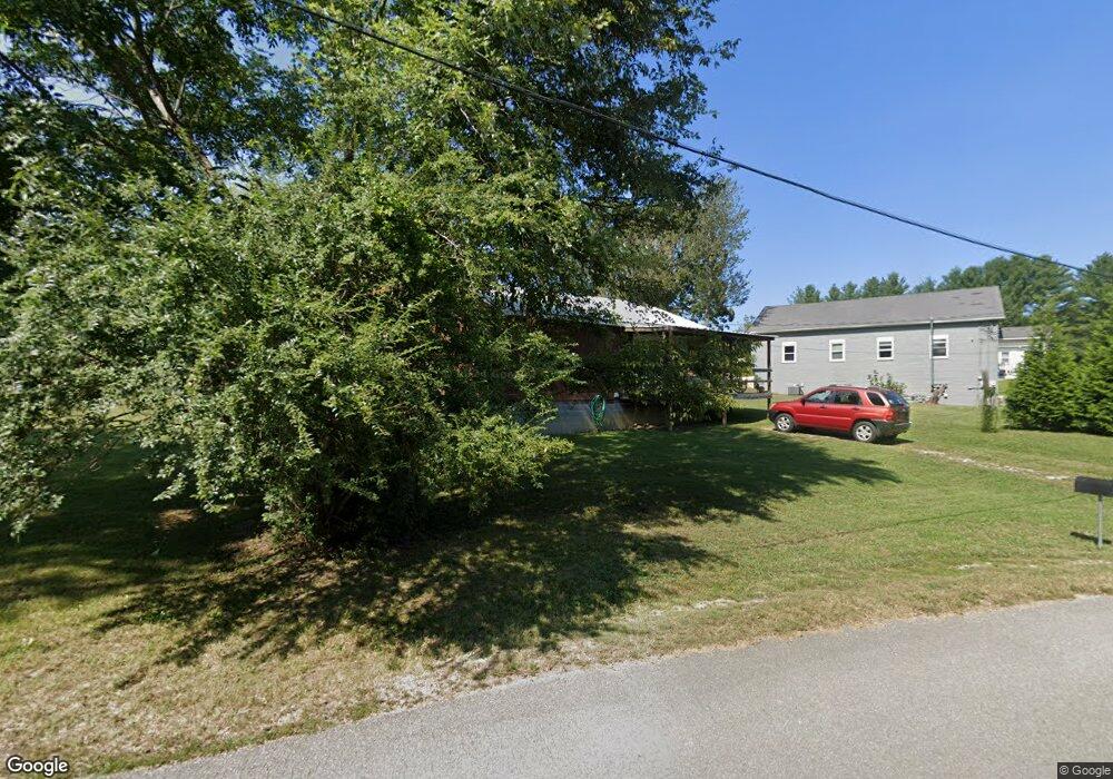
238 Depot Rd Rock Island, TN 38581
Estimated Value: $74,936 - $185,000
--
Bed
1
Bath
720
Sq Ft
$180/Sq Ft
Est. Value
About This Home
This home is located at 238 Depot Rd, Rock Island, TN 38581 and is currently estimated at $129,734, approximately $180 per square foot. 238 Depot Rd is a home located in Warren County with nearby schools including Eastside Elementary School and Warren County High School.
Ownership History
Date
Name
Owned For
Owner Type
Purchase Details
Closed on
Jan 8, 2007
Sold by
Ledbetter Johnny Dee
Bought by
Lorance Ronald
Current Estimated Value
Purchase Details
Closed on
Jan 3, 2005
Sold by
Mccormick George W
Bought by
Martin Jeff
Purchase Details
Closed on
Apr 10, 1995
Bought by
Taylor Robert H
Purchase Details
Closed on
Jan 1, 1985
Bought by
Workman Herman and Workman Frances
Create a Home Valuation Report for This Property
The Home Valuation Report is an in-depth analysis detailing your home's value as well as a comparison with similar homes in the area
Home Values in the Area
Average Home Value in this Area
Purchase History
| Date | Buyer | Sale Price | Title Company |
|---|---|---|---|
| Lorance Ronald | $800 | -- | |
| Martin Jeff | $10,800 | -- | |
| Taylor Robert H | $18,000 | -- | |
| Workman Herman | $5,400 | -- |
Source: Public Records
Tax History Compared to Growth
Tax History
| Year | Tax Paid | Tax Assessment Tax Assessment Total Assessment is a certain percentage of the fair market value that is determined by local assessors to be the total taxable value of land and additions on the property. | Land | Improvement |
|---|---|---|---|---|
| 2025 | $172 | $15,000 | $0 | $0 |
| 2024 | $172 | $8,725 | $1,100 | $7,625 |
| 2023 | $172 | $8,725 | $1,100 | $7,625 |
| 2022 | $172 | $8,725 | $1,100 | $7,625 |
| 2021 | $172 | $8,725 | $1,100 | $7,625 |
| 2020 | $143 | $8,725 | $1,100 | $7,625 |
| 2019 | $163 | $7,275 | $900 | $6,375 |
| 2018 | $143 | $7,275 | $900 | $6,375 |
| 2017 | $143 | $7,275 | $900 | $6,375 |
| 2016 | $143 | $7,275 | $900 | $6,375 |
| 2015 | $145 | $7,275 | $900 | $6,375 |
| 2014 | $140 | $7,275 | $900 | $6,375 |
| 2013 | $140 | $6,998 | $0 | $0 |
Source: Public Records
Map
Nearby Homes
- 239 Pine Bluff Rd
- 98 Lakeside Dr
- 1.50 AC Rock Island Shores Dr
- 0 Goodbar Rd Unit RTC2866377
- 0 Goodbar Rd Unit RTC2990114
- 0 Goodbar Rd Unit RTC2866387
- 0 Goodbar Rd Unit RTC2866833
- 0 Goodbar Rd Unit RTC2990119
- 676 George Rd
- 0 Rock Station Rd
- 371 Rock Station Rd
- 622 Bone Cave Rd
- 1149 Camp Overton Rd
- 0 Bone Cave Rd Unit RTC3048650
- 0 Bone Cave Rd Unit 1518019
- 3426 Old Rock Island Rd
- 2365 Pine Bluff Rd
- 115 Long Point Dr
- 3 Pine Bluff Rd
- 1 Pine Bluff Rd
