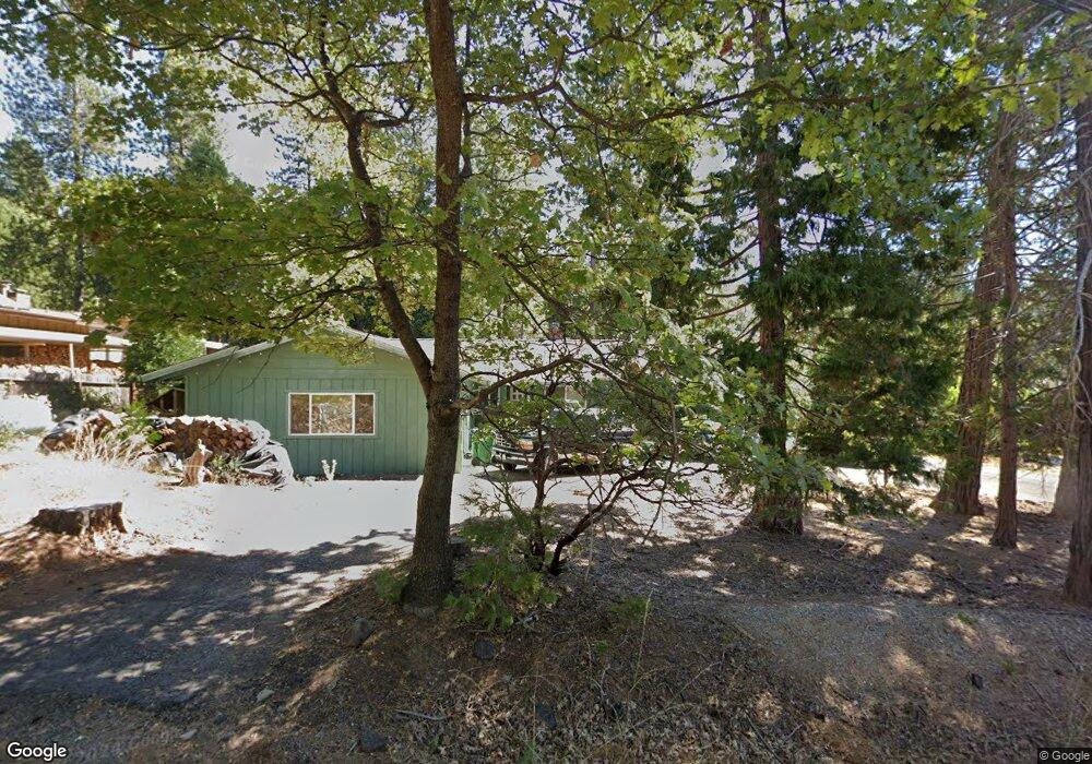
23827 S Fork Rd Twain Harte, CA 95383
Estimated Value: $426,849 - $443,000
3
Beds
2
Baths
1,696
Sq Ft
$255/Sq Ft
Est. Value
About This Home
This home is located at 23827 S Fork Rd, Twain Harte, CA 95383 and is currently estimated at $433,212, approximately $255 per square foot. 23827 S Fork Rd is a home located in Tuolumne County with nearby schools including Twain Harte School, Cold Springs High School, and Long Barn High School.
Ownership History
Date
Name
Owned For
Owner Type
Purchase Details
Closed on
Aug 13, 2010
Sold by
Rauschmeier Richard Henry and The Richard Henry Rauschmeier
Bought by
Rauschmeier Richard Henry and The Richard Henry Rauschmeier
Current Estimated Value
Home Financials for this Owner
Home Financials are based on the most recent Mortgage that was taken out on this home.
Original Mortgage
$123,000
Interest Rate
4.51%
Mortgage Type
New Conventional
Create a Home Valuation Report for This Property
The Home Valuation Report is an in-depth analysis detailing your home's value as well as a comparison with similar homes in the area
Home Values in the Area
Average Home Value in this Area
Purchase History
| Date | Buyer | Sale Price | Title Company |
|---|---|---|---|
| Rauschmeier Richard Henry | -- | Yosemite Title Company |
Source: Public Records
Mortgage History
| Date | Status | Borrower | Loan Amount |
|---|---|---|---|
| Closed | Rauschmeier Richard Henry | $123,000 |
Source: Public Records
Tax History
| Year | Tax Paid | Tax Assessment Tax Assessment Total Assessment is a certain percentage of the fair market value that is determined by local assessors to be the total taxable value of land and additions on the property. | Land | Improvement |
|---|---|---|---|---|
| 2025 | $2,058 | $201,612 | $32,628 | $168,984 |
| 2024 | $2,058 | $197,660 | $31,989 | $165,671 |
| 2023 | $1,924 | $193,785 | $31,362 | $162,423 |
| 2022 | $2,013 | $189,987 | $30,748 | $159,239 |
| 2021 | $1,976 | $186,263 | $30,146 | $156,117 |
| 2020 | $1,949 | $184,354 | $29,837 | $154,517 |
| 2019 | $1,904 | $180,740 | $29,252 | $151,488 |
| 2018 | $1,837 | $177,197 | $28,679 | $148,518 |
| 2017 | $1,851 | $173,723 | $28,117 | $145,606 |
| 2016 | $1,773 | $170,317 | $27,566 | $142,751 |
| 2015 | $1,747 | $167,759 | $27,152 | $140,607 |
| 2014 | $1,707 | $164,474 | $26,621 | $137,853 |
Source: Public Records
Map
Nearby Homes
- 18727 Broadhurst Dr
- 0 Broadhurst Dr
- 22895 S Fork Rd
- 23744 Elizabeth Peak Rd
- 23615 Mount Elizabeth Rd
- 23451 Lakewood Dr
- 19232 Highlander Dr
- 18981 Huron Dr
- 19376 Poplar Cir Unit 2
- 19385 Superior Dr
- 23184 Mark Twain Dr
- 23390 Tanager Dr
- 19080 Tiffeni Dr
- 18853 Manzanita Dr Unit F
- 23312 Tanager Dr
- 23343 Tanager Dr
- 19565 Wanita Ln
- 23009 Red Wing Trail
- 22975 Twain Harte Dr
- 22930 Placer Dr
- 18750 Beatrice Ave
- 23843 S Fork Rd
- 18749 Apple Way
- 18735 Beatrice Ave
- 23795 S Fork Rd
- 23745 S Fork Rd
- 23859 S Fork Rd
- 23812 Sierra Pines Dr
- 23880 Sierra Pines Dr
- 23853 Sierra Pines Dr
- 23792 Sierra Pine Ave
- 23792 Sierra Pines Dr
- 23869 Sierra Pines Dr
- 23875 S Fork Rd
- 23885 Sierra Pines Dr
- 23885 Sierra Pine Ave
- 23837 Sierra Pines Dr
- 23900 Sierra Pines Dr
- 23811 Sierra Pines Dr
- 23899 Sierra Pines Dr
Your Personal Tour Guide
Ask me questions while you tour the home.