2383 Burnt Valley Rd Chewelah, WA 99109
Estimated Value: $269,000 - $436,000
3
Beds
2
Baths
2,280
Sq Ft
$153/Sq Ft
Est. Value
About This Home
This home is located at 2383 Burnt Valley Rd, Chewelah, WA 99109 and is currently estimated at $349,768, approximately $153 per square foot. 2383 Burnt Valley Rd is a home located in Stevens County with nearby schools including Gess Elementary School and Jenkins Junior/Senior High School.
Ownership History
Date
Name
Owned For
Owner Type
Purchase Details
Closed on
Dec 6, 2012
Sold by
Schott Paul C
Bought by
Schott Paul C and Schott Cynthia
Current Estimated Value
Home Financials for this Owner
Home Financials are based on the most recent Mortgage that was taken out on this home.
Original Mortgage
$117,495
Interest Rate
3.36%
Mortgage Type
FHA
Create a Home Valuation Report for This Property
The Home Valuation Report is an in-depth analysis detailing your home's value as well as a comparison with similar homes in the area
Home Values in the Area
Average Home Value in this Area
Purchase History
| Date | Buyer | Sale Price | Title Company |
|---|---|---|---|
| Schott Paul C | -- | Stevens County Title Company |
Source: Public Records
Mortgage History
| Date | Status | Borrower | Loan Amount |
|---|---|---|---|
| Closed | Schott Paul C | $117,495 |
Source: Public Records
Tax History Compared to Growth
Tax History
| Year | Tax Paid | Tax Assessment Tax Assessment Total Assessment is a certain percentage of the fair market value that is determined by local assessors to be the total taxable value of land and additions on the property. | Land | Improvement |
|---|---|---|---|---|
| 2024 | $1,894 | $252,143 | $60,000 | $192,143 |
| 2023 | $1,380 | $177,118 | $35,000 | $142,118 |
| 2022 | $1,434 | $170,395 | $35,000 | $135,395 |
| 2021 | $1,579 | $167,240 | $35,000 | $132,240 |
| 2020 | $1,623 | $167,240 | $35,000 | $132,240 |
| 2019 | $1,490 | $164,894 | $35,000 | $129,894 |
| 2018 | $1,395 | $155,464 | $35,000 | $120,464 |
| 2017 | $1,291 | $133,310 | $35,000 | $98,310 |
| 2016 | $1,225 | $133,310 | $35,000 | $98,310 |
| 2015 | $1,250 | $133,310 | $35,000 | $98,310 |
| 2013 | -- | $133,310 | $35,000 | $98,310 |
Source: Public Records
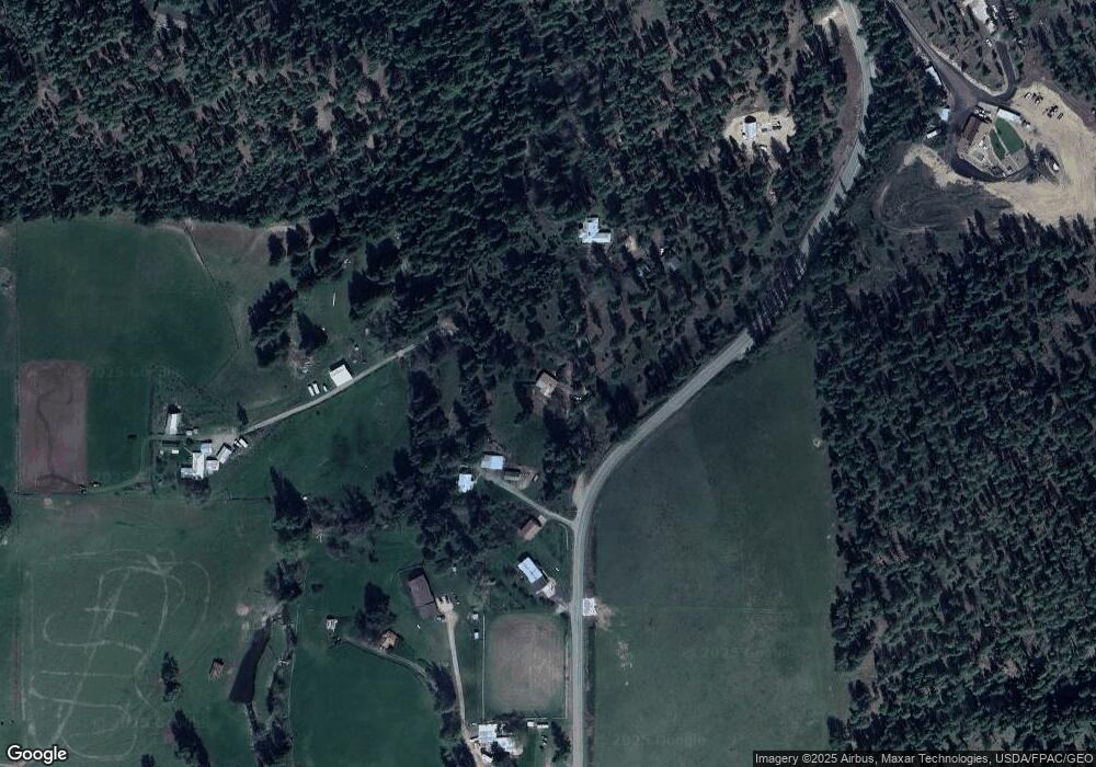
Map
Nearby Homes
- 2443 Eagle Lambert Rd
- 2367 Morse Way
- 1005 N 3rd St E
- 2559 United Copper Mine Rd
- XX1 N 7th St E
- XX2 N 7th St E
- XXX Pinebrook Dr
- 604 N 3rd St E
- 2082 Kramer Rd
- 2559F United Copper Mine Rd
- 813 Tamarack Ln
- 604 N 3rd St W
- 902 N West St
- 26xx Flowery Trail Rd
- 000 Pinebrook Dr
- 708 N Ridge St
- XXX 5th St E
- 2633 Highline Rd
- 604 N West St
- 2383 Burnt Valley Rd
- 0 Xxx Franklin St Unit 38538
- 0 Xx Valley St
- 0 Xxx Franklin St
- 0 Xxx Canyon Crest
- 0 Xxx Canyon Crest Way
- 183 Trappers Loop
- 0 Xxx Immel Rd Unit 38265
- 0 Xxx Palmer Loop Unit 40580
- 0 Xxx Couples Place Unit LOT 13 40125
- 0 Xxx Palmer Loop Unit 21 Crest I 39726
- 0 Xxx Palmer Loop Unit 37843
- 0 Xxx Palmer Loop Unit 37842
- 0 Xxx Palmer Loop Unit 37836
- 0 Xxx Palmer Loop Unit 37848
- 0 Xxx Palmer Loop Unit 37849
- 0 Xxx Palmer Loop Unit 37847
- 0 Xxx Palmer Loop Unit 37846
- 0 Xxx Palmer Loop Unit 37839
- 0 Xxx Palmer Loop Unit 37841