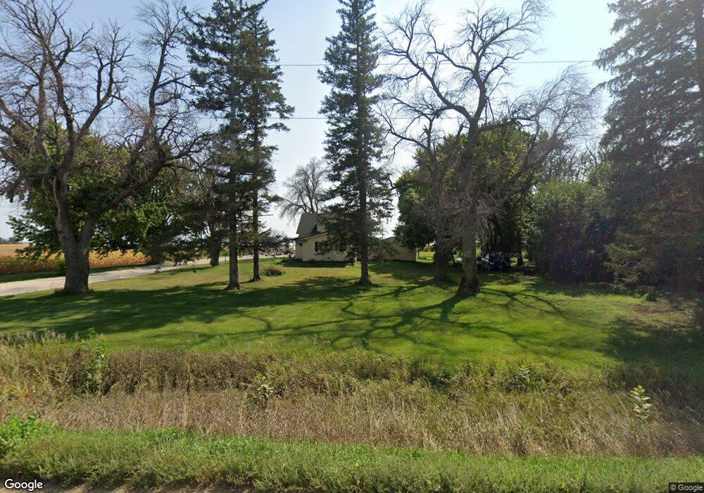
2384 630th St Newell, IA 50568
Estimated Value: $187,000 - $226,000
4
Beds
2
Baths
1,659
Sq Ft
$128/Sq Ft
Est. Value
About This Home
This home is located at 2384 630th St, Newell, IA 50568 and is currently estimated at $212,579, approximately $128 per square foot. 2384 630th St is a home located in Buena Vista County with nearby schools including Newell-Fonda Elementary School, Newell-Fonda Middle School, and Newell-Fonda High School.
Ownership History
Date
Name
Owned For
Owner Type
Purchase Details
Closed on
Apr 3, 2023
Sold by
Hazen Neal H and Hazen Kathleen Jean
Bought by
Hazen Neal Ryan and Hazen Courtney Rose
Current Estimated Value
Home Financials for this Owner
Home Financials are based on the most recent Mortgage that was taken out on this home.
Original Mortgage
$196,000
Outstanding Balance
$190,452
Interest Rate
6.5%
Mortgage Type
New Conventional
Estimated Equity
$22,127
Create a Home Valuation Report for This Property
The Home Valuation Report is an in-depth analysis detailing your home's value as well as a comparison with similar homes in the area
Home Values in the Area
Average Home Value in this Area
Purchase History
| Date | Buyer | Sale Price | Title Company |
|---|---|---|---|
| Hazen Neal Ryan | $245,000 | None Listed On Document |
Source: Public Records
Mortgage History
| Date | Status | Borrower | Loan Amount |
|---|---|---|---|
| Open | Hazen Neal Ryan | $196,000 |
Source: Public Records
Tax History Compared to Growth
Tax History
| Year | Tax Paid | Tax Assessment Tax Assessment Total Assessment is a certain percentage of the fair market value that is determined by local assessors to be the total taxable value of land and additions on the property. | Land | Improvement |
|---|---|---|---|---|
| 2024 | $1,977 | $149,990 | $26,330 | $123,660 |
| 2023 | $1,590 | $149,990 | $26,330 | $123,660 |
| 2022 | $1,460 | $115,480 | $26,330 | $89,150 |
| 2021 | $1,460 | $115,480 | $26,330 | $89,150 |
| 2020 | $1,302 | $99,720 | $20,250 | $79,470 |
| 2019 | $1,250 | $99,720 | $20,250 | $79,470 |
| 2018 | $1,260 | $97,170 | $21,060 | $76,110 |
| 2017 | $1,222 | $97,170 | $21,060 | $76,110 |
| 2016 | $1,200 | $93,420 | $21,060 | $72,360 |
| 2015 | $1,200 | $89,830 | $0 | $0 |
| 2014 | $1,136 | $89,830 | $0 | $0 |
Source: Public Records
Map
Nearby Homes
- 310 S Howard St
- 410 W 4th St
- 136 Cedar St
- 6057 210th Ave
- 104 Main St
- 504 Queen St
- 505 E 2nd St
- 2070 Rolf Ave
- 13446 530th St
- 1745 555th St
- 3070 230th St
- 810711200007 Rolf Avenue and Highway 20
- 408 Elm St
- 110 Park St
- 108 Park St
- 304 Highway N 14
- 201 Sunrise Park Rd Unit 104
- 201 Sunrise Park Rd Unit 308
- 201 Sunrise Park Rd Unit 101
- 201 Sunrise Park Rd Unit 202