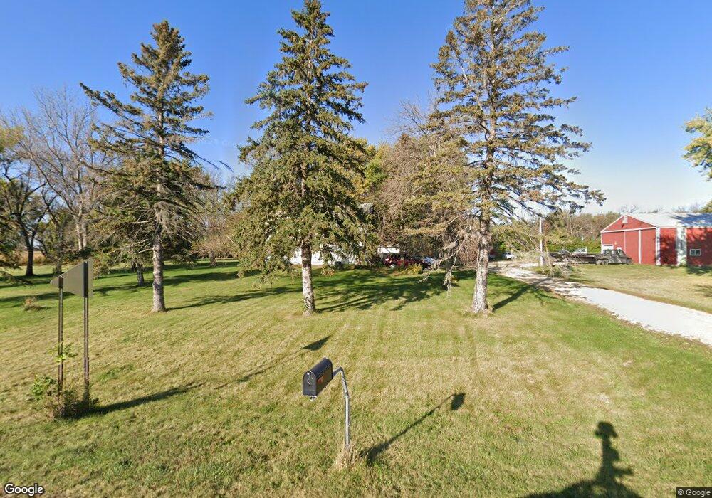
23877 670th Ave Dexter, MN 55926
Estimated Value: $211,000 - $286,000
3
Beds
1
Bath
2,160
Sq Ft
$115/Sq Ft
Est. Value
About This Home
This home is located at 23877 670th Ave, Dexter, MN 55926 and is currently estimated at $249,137, approximately $115 per square foot. 23877 670th Ave is a home with nearby schools including Southland Elementary School, Southland Middle School, and Southland Senior High School.
Ownership History
Date
Name
Owned For
Owner Type
Purchase Details
Closed on
Nov 10, 2005
Sold by
Klaehn Kenneth W and Klaehn Betty C
Bought by
Shulze Timothy M and Shulze Karla J
Current Estimated Value
Home Financials for this Owner
Home Financials are based on the most recent Mortgage that was taken out on this home.
Original Mortgage
$110,095
Outstanding Balance
$60,102
Interest Rate
5.98%
Mortgage Type
New Conventional
Estimated Equity
$189,035
Create a Home Valuation Report for This Property
The Home Valuation Report is an in-depth analysis detailing your home's value as well as a comparison with similar homes in the area
Purchase History
| Date | Buyer | Sale Price | Title Company |
|---|---|---|---|
| Shulze Timothy M | $113,500 | None Available |
Source: Public Records
Mortgage History
| Date | Status | Borrower | Loan Amount |
|---|---|---|---|
| Open | Shulze Timothy M | $110,095 |
Source: Public Records
Tax History
| Year | Tax Paid | Tax Assessment Tax Assessment Total Assessment is a certain percentage of the fair market value that is determined by local assessors to be the total taxable value of land and additions on the property. | Land | Improvement |
|---|---|---|---|---|
| 2025 | $2,016 | $201,100 | $93,000 | $108,100 |
| 2024 | $2,016 | $209,100 | $97,000 | $112,100 |
| 2023 | $1,990 | $210,600 | $97,000 | $113,600 |
| 2022 | $1,856 | $198,400 | $97,000 | $101,400 |
| 2021 | $1,654 | $166,900 | $80,000 | $86,900 |
| 2020 | $1,658 | $156,200 | $80,000 | $76,200 |
| 2018 | $777 | $148,800 | $79,000 | $69,800 |
| 2017 | $1,554 | $0 | $0 | $0 |
| 2016 | $1,692 | $0 | $0 | $0 |
| 2015 | $1,566 | $0 | $0 | $0 |
| 2012 | $1,566 | $0 | $0 | $0 |
Source: Public Records
Map
Nearby Homes
- TBD N Pine St
- 254 Pleasant St
- TBD 680 Ave
- TBD Cedar L6b1 St
- TBD Cedar L3b2 St
- TBD 218 St
- xxx 640th Ave
- 27383 700 Ave
- 19068 620th Ave
- 105 3rd Ave NE
- 213 2nd St NE
- XXX 257th St
- 25635 739th Ave
- xxx 739th Ave
- TBD 1st Ave SE
- TBD Glynn (L7b1) Ave NE
- TBD Glynn (L6b2) Ave NE
- 109 Brittany Way SE
- 101 Brittany Way SE
- 527 Elliot Dr SE
Your Personal Tour Guide
Ask me questions while you tour the home.