23899 State Highway 74 Purcell, OK 73080
Estimated Value: $342,000 - $381,000
3
Beds
2
Baths
1,730
Sq Ft
$212/Sq Ft
Est. Value
About This Home
This home is located at 23899 State Highway 74, Purcell, OK 73080 and is currently estimated at $366,535, approximately $211 per square foot. 23899 State Highway 74 is a home with nearby schools including Purcell Elementary School, Purcell Intermediate School, and Purcell Junior High School.
Ownership History
Date
Name
Owned For
Owner Type
Purchase Details
Closed on
Oct 11, 2018
Sold by
Rose Suzanne and Kelly Rose A
Bought by
Hayes Paul Douglas
Current Estimated Value
Home Financials for this Owner
Home Financials are based on the most recent Mortgage that was taken out on this home.
Original Mortgage
$238,000
Interest Rate
4.7%
Mortgage Type
Credit Line Revolving
Create a Home Valuation Report for This Property
The Home Valuation Report is an in-depth analysis detailing your home's value as well as a comparison with similar homes in the area
Home Values in the Area
Average Home Value in this Area
Purchase History
| Date | Buyer | Sale Price | Title Company |
|---|---|---|---|
| Hayes Paul Douglas | -- | American Abstract Company |
Source: Public Records
Mortgage History
| Date | Status | Borrower | Loan Amount |
|---|---|---|---|
| Previous Owner | Hayes Paul Douglas | $238,000 |
Source: Public Records
Tax History Compared to Growth
Tax History
| Year | Tax Paid | Tax Assessment Tax Assessment Total Assessment is a certain percentage of the fair market value that is determined by local assessors to be the total taxable value of land and additions on the property. | Land | Improvement |
|---|---|---|---|---|
| 2025 | $3,077 | $28,285 | $5,695 | $22,590 |
| 2024 | $2,927 | $26,938 | $5,424 | $21,514 |
| 2023 | $2,927 | $25,656 | $5,385 | $20,271 |
| 2022 | $2,623 | $24,434 | $5,483 | $18,951 |
| 2021 | $2,530 | $23,270 | $5,390 | $17,880 |
| 2020 | $2,386 | $22,162 | $5,390 | $16,772 |
| 2019 | $2,314 | $21,107 | $5,674 | $15,433 |
| 2018 | $2,184 | $20,102 | $5,367 | $14,735 |
| 2017 | $2,033 | $19,144 | $5,323 | $13,821 |
| 2016 | $1,960 | $18,233 | $4,327 | $13,906 |
| 2015 | $1,896 | $17,365 | $3,778 | $13,587 |
| 2014 | $1,788 | $16,538 | $3,269 | $13,269 |
Source: Public Records
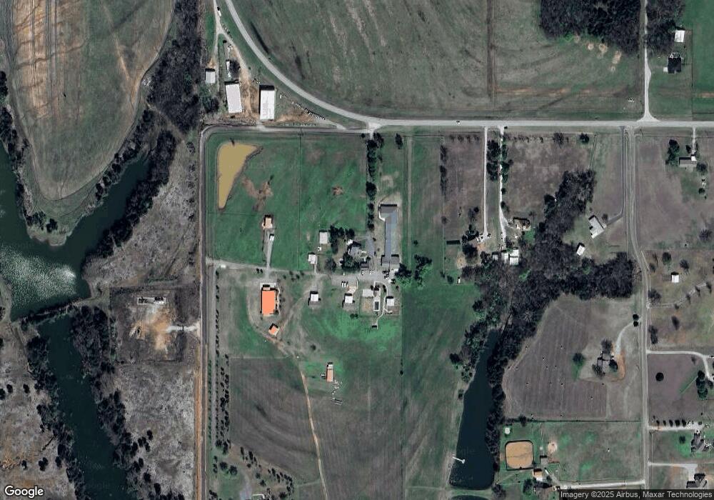
Map
Nearby Homes
- 23615 Johnson Ave
- 23193 Grandview Ln
- 22453 State Highway 74
- 3127 Northridge Dr
- 1027 Woodbrook Blvd
- 0 Sage Ct
- 2907 Blue Stem Ct
- 0 Bluestem Ct
- 0 Bella Ct Unit 1156845
- 0 Bella Ct Unit 1156680
- 817 Carrie Ct
- 3534 N 9th Ave
- 2915 Ridgecrest Dr
- 2907 Ridgecrest Dr
- 0 Eagles Nest Unit 1152121
- 2115 N 9th Ave
- 5465 S Ladd Ave
- 937 Luglena Ln
- 1203 Mayes St
- 1076 Westbrook Blvd
- 24496 Eagle Rd
- 23953 Eagle Rd
- 23861 Eagle Rd
- 23787 Eagle Rd
- 23857 State Highway 74
- 24091 Eagle Rd
- 23850 Eagle Rd
- 23711 Eagle Rd
- 23851 State Highway 74
- 23884 Eagle Rd
- 23667 Eagle Rd
- 23996 Eagle Rd
- 23805 State Highway 74
- 23892 Eagle Rd
- 24060 Eagle Rd
- 23800 Eagle Rd
- 23776 Eagle Rd
- 23615 Eagle Rd
- 24645 State Highway 74
- 24611 State Highway 74