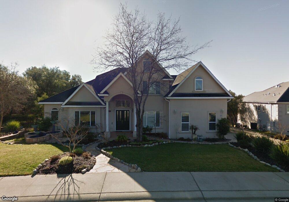
239 Alabaster Point Way Folsom, CA 95630
American River Canyon NeighborhoodEstimated Value: $715,000 - $1,272,000
4
Beds
3
Baths
3,039
Sq Ft
$347/Sq Ft
Est. Value
About This Home
This home is located at 239 Alabaster Point Way, Folsom, CA 95630 and is currently estimated at $1,055,132, approximately $347 per square foot. 239 Alabaster Point Way is a home located in Sacramento County with nearby schools including Carl H. Sundahl Elementary School, Sutter Middle School, and Folsom High School.
Ownership History
Date
Name
Owned For
Owner Type
Purchase Details
Closed on
Jun 14, 2001
Sold by
H C Elliott Inc
Bought by
Tucker Donald G and Tucker Ruth A
Current Estimated Value
Home Financials for this Owner
Home Financials are based on the most recent Mortgage that was taken out on this home.
Original Mortgage
$105,600
Outstanding Balance
$40,254
Interest Rate
7.15%
Mortgage Type
Seller Take Back
Estimated Equity
$1,014,878
Create a Home Valuation Report for This Property
The Home Valuation Report is an in-depth analysis detailing your home's value as well as a comparison with similar homes in the area
Home Values in the Area
Average Home Value in this Area
Purchase History
| Date | Buyer | Sale Price | Title Company |
|---|---|---|---|
| Tucker Donald G | $132,000 | Stewart Title |
Source: Public Records
Mortgage History
| Date | Status | Borrower | Loan Amount |
|---|---|---|---|
| Open | Tucker Donald G | $105,600 |
Source: Public Records
Tax History
| Year | Tax Paid | Tax Assessment Tax Assessment Total Assessment is a certain percentage of the fair market value that is determined by local assessors to be the total taxable value of land and additions on the property. | Land | Improvement |
|---|---|---|---|---|
| 2025 | $9,643 | $828,928 | $198,887 | $630,041 |
| 2024 | $9,643 | $812,676 | $194,988 | $617,688 |
| 2023 | $9,426 | $796,742 | $191,165 | $605,577 |
| 2022 | $9,306 | $781,120 | $187,417 | $593,703 |
| 2021 | $9,173 | $765,805 | $183,743 | $582,062 |
| 2020 | $9,054 | $757,953 | $181,859 | $576,094 |
| 2019 | $8,908 | $743,093 | $178,294 | $564,799 |
| 2018 | $8,663 | $728,524 | $174,799 | $553,725 |
| 2017 | $8,111 | $714,240 | $171,372 | $542,868 |
| 2016 | $8,427 | $700,236 | $168,012 | $532,224 |
| 2015 | $8,155 | $689,719 | $165,489 | $524,230 |
| 2014 | $7,766 | $676,210 | $162,248 | $513,962 |
Source: Public Records
Map
Nearby Homes
- 119 Flat Rock Dr
- 125 Knob Fork Ct
- 145 Flat Rock Ct
- 5876 Granite Hills Dr S
- 100 Baldwin Lake Cir
- 100 Englehart Dr
- 100 Hinkle Ct
- 318 Canyon Falls Dr
- 314 Canyon Falls Dr
- 140 Marble Canyon Dr
- 291 Meadowrock Way
- 240 Stonebrook Dr
- 111 Cool Springs Ct
- 95 Shadowbrook Ct
- 411 Nugget Dr
- 591 Southwood Dr
- 587 Southwood Dr
- 5928 Wedgewood Dr
- 9788 Wexford Cir
- 214 Leafwood Way
- 243 Alabaster Point Way
- 244 American River Canyon Dr
- 242 American River Canyon Dr
- 246 American River Canyon Dr
- 240 American River Canyon Dr
- 247 Alabaster Point Way
- 248 American River Canyon Dr
- 251 Alabaster Point Way
- 250 American River Canyon Dr
- 238 American River Canyon Dr
- 241 American River Canyon Dr
- 100 Ash Creek Ct
- 103 Flat Rock Dr
- 252 American River Canyon Dr
- 239 American River Canyon Dr
- 120 Knob Fork Ct
- 249 American River Canyon Dr
- 124 Knob Fork Ct
- 113 Flat Rock Dr
- 251 American River Canyon Dr
Your Personal Tour Guide
Ask me questions while you tour the home.