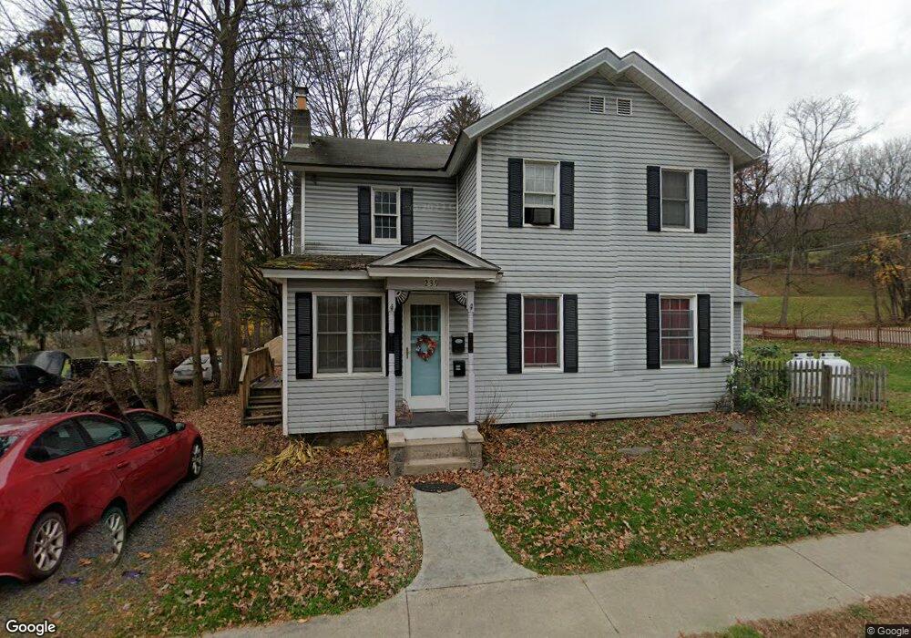
239 Bridge St Tunkhannock, PA 18657
Estimated Value: $220,000 - $347,000
5
Beds
2
Baths
2,306
Sq Ft
$114/Sq Ft
Est. Value
About This Home
This home is located at 239 Bridge St, Tunkhannock, PA 18657 and is currently estimated at $263,454, approximately $114 per square foot. 239 Bridge St is a home located in Wyoming County with nearby schools including Tunkhannock Middle School, Tunkhannock High School, and Endless Mountains Christian Academy.
Ownership History
Date
Name
Owned For
Owner Type
Purchase Details
Closed on
Mar 22, 2010
Sold by
Us Bank Na
Bought by
Dodge Edward Ira
Current Estimated Value
Home Financials for this Owner
Home Financials are based on the most recent Mortgage that was taken out on this home.
Original Mortgage
$82,163
Outstanding Balance
$57,721
Interest Rate
4.97%
Mortgage Type
FHA
Estimated Equity
$205,733
Purchase Details
Closed on
Apr 25, 2007
Sold by
Davis Stanley J and Davis Marilyn L
Bought by
Lachase Nicholas and Lachase Jaime
Home Financials for this Owner
Home Financials are based on the most recent Mortgage that was taken out on this home.
Original Mortgage
$157,050
Interest Rate
6.18%
Mortgage Type
New Conventional
Create a Home Valuation Report for This Property
The Home Valuation Report is an in-depth analysis detailing your home's value as well as a comparison with similar homes in the area
Home Values in the Area
Average Home Value in this Area
Purchase History
| Date | Buyer | Sale Price | Title Company |
|---|---|---|---|
| Dodge Edward Ira | $85,000 | None Available | |
| Lachase Nicholas | $154,000 | None Available |
Source: Public Records
Mortgage History
| Date | Status | Borrower | Loan Amount |
|---|---|---|---|
| Open | Dodge Edward Ira | $82,163 | |
| Previous Owner | Lachase Nicholas | $157,050 |
Source: Public Records
Tax History Compared to Growth
Tax History
| Year | Tax Paid | Tax Assessment Tax Assessment Total Assessment is a certain percentage of the fair market value that is determined by local assessors to be the total taxable value of land and additions on the property. | Land | Improvement |
|---|---|---|---|---|
| 2025 | $4,763 | $33,985 | $4,800 | $29,185 |
| 2024 | $4,763 | $33,985 | $4,800 | $29,185 |
| 2023 | $4,729 | $33,985 | $4,800 | $29,185 |
| 2022 | $4,678 | $33,985 | $4,800 | $29,185 |
| 2021 | $4,136 | $30,600 | $4,550 | $26,050 |
| 2020 | $4,136 | $30,600 | $4,550 | $26,050 |
| 2019 | $4,074 | $30,600 | $4,550 | $26,050 |
| 2018 | $3,998 | $30,600 | $4,550 | $26,050 |
| 2017 | $3,860 | $0 | $0 | $0 |
| 2016 | -- | $0 | $0 | $0 |
| 2015 | -- | $0 | $0 | $0 |
| 2014 | -- | $0 | $0 | $0 |
Source: Public Records
Map
Nearby Homes
- 1 Sullivan St
- 7 Doran Dr
- 9 Doran Dr
- 40 Winola Ave
- 5 E Harrison St
- 148 Grandview Dr
- 150 Grandview Dr
- 425 Woodland Way
- 10 Dogwood Dr
- 201 Woodland Way
- 819 Hunter Hwy
- 0 Wellwood Dr Unit GSBSC254387
- 0 Wellwood Dr Unit PWBPW252807
- 9 Marcy Rd
- 55 Margrow Rd
- 409 Lane Hill Rd
- 22 Mount Airy Estate
- 16 Alfie Ln
- 24 Benson Hollow Ln
- 6 1/2 Indian Spring Rd