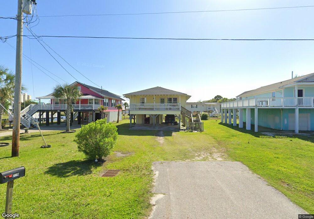
239 Calhoun Dr Murrells Inlet, SC 29576
Estimated Value: $425,164 - $567,000
3
Beds
1
Bath
984
Sq Ft
$527/Sq Ft
Est. Value
About This Home
This home is located at 239 Calhoun Dr, Murrells Inlet, SC 29576 and is currently estimated at $518,541, approximately $526 per square foot. 239 Calhoun Dr is a home located in Horry County with nearby schools including Seaside Elementary, St. James Intermediate, and St. James Middle School.
Ownership History
Date
Name
Owned For
Owner Type
Purchase Details
Closed on
Jun 30, 2009
Sold by
Three Sons Inc
Bought by
Allen Johnny C
Current Estimated Value
Purchase Details
Closed on
Dec 29, 2005
Sold by
Allen Johnny C and Allen Rachel H
Bought by
Three Sons Inc
Purchase Details
Closed on
Apr 29, 2005
Sold by
Three Sons Inc
Bought by
Allen Johnny C and Allen Rachel H
Home Financials for this Owner
Home Financials are based on the most recent Mortgage that was taken out on this home.
Original Mortgage
$90,000
Interest Rate
5.98%
Mortgage Type
Purchase Money Mortgage
Create a Home Valuation Report for This Property
The Home Valuation Report is an in-depth analysis detailing your home's value as well as a comparison with similar homes in the area
Home Values in the Area
Average Home Value in this Area
Purchase History
| Date | Buyer | Sale Price | Title Company |
|---|---|---|---|
| Allen Johnny C | -- | -- | |
| Three Sons Inc | -- | None Available | |
| Allen Johnny C | -- | -- |
Source: Public Records
Mortgage History
| Date | Status | Borrower | Loan Amount |
|---|---|---|---|
| Previous Owner | Allen Johnny C | $90,000 |
Source: Public Records
Tax History Compared to Growth
Tax History
| Year | Tax Paid | Tax Assessment Tax Assessment Total Assessment is a certain percentage of the fair market value that is determined by local assessors to be the total taxable value of land and additions on the property. | Land | Improvement |
|---|---|---|---|---|
| 2024 | -- | $29,219 | $26,226 | $2,993 |
| 2023 | $0 | $6,893 | $5,465 | $1,428 |
| 2021 | $1,495 | $7,278 | $5,850 | $1,428 |
| 2020 | $1,412 | $7,278 | $5,850 | $1,428 |
| 2019 | $1,412 | $7,278 | $5,850 | $1,428 |
| 2018 | $0 | $5,994 | $4,050 | $1,944 |
| 2017 | $0 | $5,994 | $4,050 | $1,944 |
| 2016 | $0 | $5,994 | $4,050 | $1,944 |
| 2015 | -- | $5,994 | $4,050 | $1,944 |
| 2014 | $1,193 | $5,994 | $4,050 | $1,944 |
Source: Public Records
Map
Nearby Homes
- 235 Calhoun Dr
- 108 Tidal Creek Dr
- 116 Tidal Creek Dr
- 124B Vista Dr
- 105 Woodland Dr Unit B
- 105 Woodland Dr Unit A
- 105-A-B Woodland Dr
- 1656 Mason Cir
- 1425 N Waccamaw Dr Unit 125
- 1425 N Waccamaw Dr Unit 123
- 1533 Sand Dollar Ln
- 1521 N Waccamaw Dr Unit Summerwinds
- 1687 Mason Cir
- 405 Calhoun Dr
- 113 Vista Dr
- 1672 Falcon
- 1211-B N Waccamaw Dr
- 1211 N Waccamaw Dr Unit A
- 1514 N Waccamaw Dr Unit 204
- 1310 N Waccamaw Dr Unit 311
- lot 18 Calhoun Dr
- 251 Calhoun Dr
- 212 Vista Dr Unit Egret Cove
- 212 Vista Dr
- 232 Calhoun Dr
- 253 Calhoun Dr
- 253 Calhoun Dr Unit 5-Minute Walk to Bea
- 230 Vista Dr
- 230 Vista Dr Unit 212 Vista Dr
- 230 Vista Dr Unit 212 Vista
- 296 Vista Dr
- 219 Calhoun Dr
- 304 Vista Dr
- 228 Calhoun Dr
- 1000 Dogwood Dr N
- 215 Calhoun Dr
- 215B Calhoun Dr Unit 1-B
- 222 Calhoun Dr
- 216 Calhoun Dr
- 234 Calhoun Dr Unit "SEA GRASS"