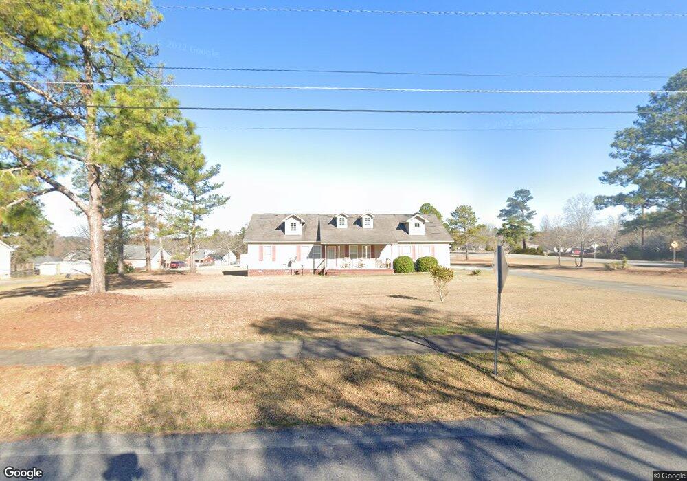
239 Dusty Ln Macon, GA 31211
Estimated Value: $171,000 - $242,000
--
Bed
2
Baths
1,712
Sq Ft
$121/Sq Ft
Est. Value
About This Home
This home is located at 239 Dusty Ln, Macon, GA 31211 and is currently estimated at $207,376, approximately $121 per square foot. 239 Dusty Ln is a home located in Jones County with nearby schools including Mattie Wells Elementary School, Clifton Ridge Middle School, and Jones County High School.
Ownership History
Date
Name
Owned For
Owner Type
Purchase Details
Closed on
Apr 26, 2007
Sold by
Not Provided
Bought by
Floyd Jeffrey Lynn
Current Estimated Value
Home Financials for this Owner
Home Financials are based on the most recent Mortgage that was taken out on this home.
Original Mortgage
$108,000
Outstanding Balance
$65,478
Interest Rate
6.11%
Mortgage Type
New Conventional
Estimated Equity
$141,898
Purchase Details
Closed on
Jan 2, 2007
Sold by
Not Provided
Bought by
Floyd Jeffrey Lynn
Purchase Details
Closed on
Dec 27, 2000
Sold by
818 Developmnt Llc
Bought by
Wimberly Eddie L
Purchase Details
Closed on
Sep 9, 2000
Bought by
818 Developmnt Llc
Create a Home Valuation Report for This Property
The Home Valuation Report is an in-depth analysis detailing your home's value as well as a comparison with similar homes in the area
Home Values in the Area
Average Home Value in this Area
Purchase History
| Date | Buyer | Sale Price | Title Company |
|---|---|---|---|
| Floyd Jeffrey Lynn | $108,000 | -- | |
| Floyd Jeffrey Lynn | -- | -- | |
| Wimberly Eddie L | $150,000 | -- | |
| 818 Developmnt Llc | -- | -- |
Source: Public Records
Mortgage History
| Date | Status | Borrower | Loan Amount |
|---|---|---|---|
| Open | Floyd Jeffrey Lynn | $108,000 |
Source: Public Records
Tax History Compared to Growth
Tax History
| Year | Tax Paid | Tax Assessment Tax Assessment Total Assessment is a certain percentage of the fair market value that is determined by local assessors to be the total taxable value of land and additions on the property. | Land | Improvement |
|---|---|---|---|---|
| 2023 | $2,060 | $61,047 | $9,600 | $51,447 |
| 2022 | $1,908 | $56,804 | $9,600 | $47,204 |
| 2021 | $1,910 | $56,804 | $9,600 | $47,204 |
| 2020 | $1,911 | $56,804 | $9,600 | $47,204 |
| 2019 | $1,911 | $56,804 | $9,600 | $47,204 |
| 2018 | $1,911 | $56,804 | $9,600 | $47,204 |
| 2017 | $1,911 | $56,804 | $9,600 | $47,204 |
| 2016 | $1,911 | $56,804 | $9,600 | $47,204 |
| 2015 | $1,804 | $56,804 | $9,600 | $47,204 |
| 2014 | $1,667 | $56,804 | $9,600 | $47,204 |
Source: Public Records
Map
Nearby Homes
- 227 Dusty Ln
- 225 Olivia Cir
- 118 Oakwood Dr
- 3608 Joycliff Rd
- 3320 Joycliff Rd
- 194 Baker Rd
- 0 Kings Ct N Unit 10639310
- 3446 Kingsview Cir
- 0 Champion Dr Unit 10639311
- 687 Jasmine Dr
- 699 Jasmine Dr
- 699 Jasmine Dr Unit C48
- Birch Plan at Clifton Ridge
- Lane Plan at Clifton Ridge
- Benton Plan at Clifton Ridge
- Duke Plan at Clifton Ridge
- Brooke Plan at Clifton Ridge
- Delilah Plan at Clifton Ridge
- 1042 Sun Valley Ct Unit C58
- 233 Dusty Ln
- 105 John Michael Dr
- 109 John Michael Dr
- 232 Dusty Ln
- 3514 Joycliff Rd
- 0 Joycliff Rd Unit 20006891
- 0 Joycliff Rd Unit 7107672
- 000 Joycliff Rd
- 3533 Joycliff Rd
- 115 John Michael Dr
- 104 John Michael Dr
- 221 Dusty Ln
- 110 John Michael Dr
- 123 John Michael Dr
- 220 Dusty Ln
- 215 Dusty Ln
- 118 John Michael Dr
- 104 Oakwood Dr
- 131 John Michael Dr
- 108 Oakwood Dr