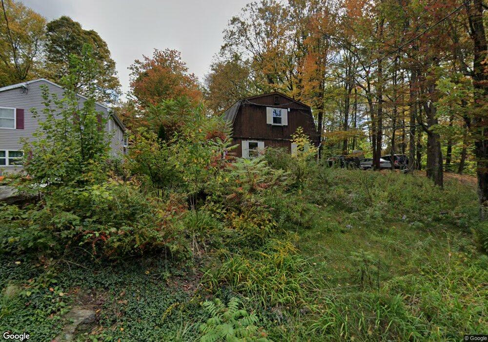
239 E Wakefield Blvd Winsted, CT 06098
Estimated Value: $279,445 - $344,000
3
Beds
2
Baths
1,344
Sq Ft
$236/Sq Ft
Est. Value
About This Home
This home is located at 239 E Wakefield Blvd, Winsted, CT 06098 and is currently estimated at $316,861, approximately $235 per square foot. 239 E Wakefield Blvd is a home located in Litchfield County with nearby schools including Pearson School, Explorations Charter School, and St Anthony School.
Ownership History
Date
Name
Owned For
Owner Type
Purchase Details
Closed on
Aug 4, 2000
Sold by
Desko Paul M and Desko Brenda L
Bought by
Perugini Sherrie A
Current Estimated Value
Home Financials for this Owner
Home Financials are based on the most recent Mortgage that was taken out on this home.
Original Mortgage
$91,000
Outstanding Balance
$61,592
Interest Rate
8.1%
Estimated Equity
$255,269
Create a Home Valuation Report for This Property
The Home Valuation Report is an in-depth analysis detailing your home's value as well as a comparison with similar homes in the area
Home Values in the Area
Average Home Value in this Area
Purchase History
| Date | Buyer | Sale Price | Title Company |
|---|---|---|---|
| Perugini Sherrie A | $85,500 | -- | |
| Perugini Sherrie A | $85,500 | -- |
Source: Public Records
Mortgage History
| Date | Status | Borrower | Loan Amount |
|---|---|---|---|
| Open | Perugini Sherrie A | $91,000 | |
| Closed | Perugini Sherrie A | $91,000 | |
| Previous Owner | Perugini Sherrie A | $39,000 |
Source: Public Records
Tax History
| Year | Tax Paid | Tax Assessment Tax Assessment Total Assessment is a certain percentage of the fair market value that is determined by local assessors to be the total taxable value of land and additions on the property. | Land | Improvement |
|---|---|---|---|---|
| 2025 | $3,365 | $115,360 | $32,060 | $83,300 |
| 2024 | $3,142 | $115,360 | $32,060 | $83,300 |
| 2023 | $3,044 | $115,360 | $32,060 | $83,300 |
| 2022 | $2,911 | $86,800 | $23,240 | $63,560 |
| 2021 | $2,911 | $86,800 | $23,240 | $63,560 |
| 2020 | $2,911 | $86,800 | $23,240 | $63,560 |
| 2019 | $2,911 | $86,800 | $23,240 | $63,560 |
| 2018 | $2,911 | $86,800 | $23,240 | $63,560 |
| 2017 | $2,911 | $86,800 | $23,240 | $63,560 |
| 2016 | $2,911 | $86,800 | $23,240 | $63,560 |
| 2015 | $2,838 | $86,800 | $23,240 | $63,560 |
| 2014 | $2,770 | $86,800 | $23,240 | $63,560 |
Source: Public Records
Map
Nearby Homes
- 230 E Wakefield Blvd
- 351 Platt Hill Rd
- 107 Birdsall St
- 124 Rockwell St
- 106 Rockwell St
- 843-845 (lots - 10A, E Wakefield Blvd
- 605 E Wakefield Blvd
- 44 Lewis St
- 720 Main St
- 48 Bridge St
- 436 Main St
- 9 John St
- 77 Hubbard St
- 118 Meadow St
- 99 Hubbard St
- 25 Center St
- 393 Winchester Rd
- 94 Holabird Ave
- 55 Walnut St
- 57 Main St
- 237 E Wakefield Blvd
- 234 E Wakefield Blvd
- 233 E Wakefield Blvd
- 303 E Wakefield Blvd
- 210 Alpha Ave
- 141 Alpha Ave
- 157 Alpha Ave
- 320 Alpha Ave
- 240 E Wakefield Blvd
- 242 E Wakefield Blvd
- 232 E Wakefield Blvd
- 244 E Wakefield Blvd
- 223 E Wakefield Blvd
- 252 Kemp St
- 231 Perch Rock Trail
- 229 Perch Rock Trail
- 227 E Wakefield Blvd
- 155 Alpha Ave
- 227 Perch Rock Trail
- 254 Calos Way
Your Personal Tour Guide
Ask me questions while you tour the home.