Estimated Value: $276,000 - $305,000
--
Bed
2
Baths
1,404
Sq Ft
$208/Sq Ft
Est. Value
About This Home
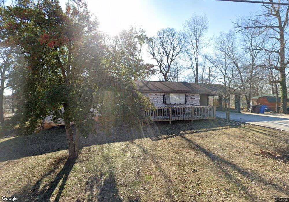
This home is located at 239 Harding St, Alcoa, TN 37701 and is currently estimated at $291,794, approximately $207 per square foot. 239 Harding St is a home located in Blount County with nearby schools including Alcoa Elementary School, Alcoa Middle School, and Alcoa High School.
Ownership History
Date
Name
Owned For
Owner Type
Purchase Details
Closed on
Nov 11, 2020
Sold by
Wilson Duane D
Bought by
Mcclendon Donna M
Current Estimated Value
Purchase Details
Closed on
Feb 11, 2014
Sold by
Walker Deloras G John
Bought by
Wilson Duane
Purchase Details
Closed on
Aug 26, 2013
Sold by
Walker Deloras G and Walker John
Bought by
Sweet Merrilynn A and Sweet Billie Jean
Purchase Details
Closed on
Jul 7, 1992
Bought by
Walker Deloras G and John Franklin Ma
Purchase Details
Closed on
Oct 4, 1972
Bought by
Manning Patsy
Create a Home Valuation Report for This Property
The Home Valuation Report is an in-depth analysis detailing your home's value as well as a comparison with similar homes in the area
Home Values in the Area
Average Home Value in this Area
Purchase History
| Date | Buyer | Sale Price | Title Company |
|---|---|---|---|
| Mcclendon Donna M | $198,500 | -- | |
| Wilson Duane | -- | -- | |
| Sweet Merrilynn A | -- | -- | |
| Sweet Merrilynn A | $10,000 | -- | |
| Walker Deloras G | $34,300 | -- | |
| Manning Patsy | -- | -- |
Source: Public Records
Tax History Compared to Growth
Tax History
| Year | Tax Paid | Tax Assessment Tax Assessment Total Assessment is a certain percentage of the fair market value that is determined by local assessors to be the total taxable value of land and additions on the property. | Land | Improvement |
|---|---|---|---|---|
| 2025 | -- | $66,275 | $0 | $0 |
| 2024 | $2,137 | $65,175 | $10,000 | $55,175 |
| 2023 | $1,036 | $65,175 | $10,000 | $55,175 |
| 2022 | $1,677 | $35,375 | $6,875 | $28,500 |
| 2021 | $1,677 | $35,375 | $6,875 | $28,500 |
| 2020 | $1,677 | $35,375 | $6,875 | $28,500 |
| 2019 | $1,731 | $35,375 | $6,875 | $28,500 |
| 2018 | $1,191 | $26,900 | $6,175 | $20,725 |
| 2017 | $1,191 | $26,900 | $6,175 | $20,725 |
| 2016 | $1,191 | $26,900 | $6,175 | $20,725 |
| 2015 | $1,073 | $26,100 | $6,175 | $19,925 |
| 2014 | $1,176 | $26,100 | $6,175 | $19,925 |
| 2013 | $1,176 | $28,600 | $0 | $0 |
Source: Public Records
Map
Nearby Homes
- 674 E Lincoln Rd
- 608 Grant St
- 626 E Lincoln Rd
- 207 Rose Ave
- 105 Rose Ave
- 835 E Lincoln Rd
- 202 Rose Ave
- 552 N Wright Rd
- 104 Olivia Ln
- 1406 Madison Ave
- 106 S 5th St
- 1802 Jett Rd
- 412 Rule St
- 507 Rule St
- 1721 Jett Rd
- 614 Wright Rd
- 1208 Madison Ave
- 1807 Bennett Village Dr
- 1818 Bennett Village Dr
- 1806 Bennett Village Dr