239 Lamb Rd Moreland, GA 30259
Estimated Value: $327,000 - $417,000
3
Beds
2
Baths
2,560
Sq Ft
$150/Sq Ft
Est. Value
About This Home
This home is located at 239 Lamb Rd, Moreland, GA 30259 and is currently estimated at $384,437, approximately $150 per square foot. 239 Lamb Rd is a home located in Coweta County with nearby schools including Moreland Elementary School, Smokey Road Middle School, and Newnan High School.
Ownership History
Date
Name
Owned For
Owner Type
Purchase Details
Closed on
Feb 1, 1993
Sold by
Bank Of Newnan
Bought by
Olson Larry Z
Current Estimated Value
Purchase Details
Closed on
Feb 1, 1992
Bought by
Olson Larry R
Purchase Details
Closed on
Jul 2, 1991
Bought by
The Bank Of Newnan
Purchase Details
Closed on
Aug 31, 1988
Bought by
Ayers Jeffery L
Create a Home Valuation Report for This Property
The Home Valuation Report is an in-depth analysis detailing your home's value as well as a comparison with similar homes in the area
Home Values in the Area
Average Home Value in this Area
Purchase History
| Date | Buyer | Sale Price | Title Company |
|---|---|---|---|
| Olson Larry Z | $9,100 | -- | |
| Olson Larry R | $9,100 | -- | |
| The Bank Of Newnan | $19,000 | -- | |
| Ayers Jeffery L | $27,500 | -- |
Source: Public Records
Tax History Compared to Growth
Tax History
| Year | Tax Paid | Tax Assessment Tax Assessment Total Assessment is a certain percentage of the fair market value that is determined by local assessors to be the total taxable value of land and additions on the property. | Land | Improvement |
|---|---|---|---|---|
| 2025 | $1,547 | $109,651 | $27,755 | $81,896 |
| 2024 | $1,382 | $102,616 | $27,755 | $74,862 |
| 2023 | $1,382 | $102,215 | $28,010 | $74,205 |
| 2022 | $1,156 | $89,294 | $25,463 | $63,831 |
| 2021 | $2,105 | $84,620 | $24,251 | $60,369 |
| 2020 | $2,117 | $84,620 | $24,251 | $60,369 |
| 2019 | $1,450 | $54,330 | $19,358 | $34,972 |
| 2018 | $1,453 | $54,330 | $19,358 | $34,972 |
| 2017 | $1,452 | $54,330 | $19,358 | $34,972 |
| 2016 | $1,437 | $54,330 | $19,358 | $34,972 |
| 2015 | $1,415 | $54,330 | $19,358 | $34,972 |
| 2014 | $1,201 | $47,056 | $19,358 | $27,698 |
Source: Public Records
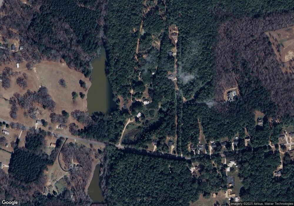
Map
Nearby Homes
- 79 Lamb Rd
- 3486 S Highway 29
- 0 Lamb Rd Unit 10571369
- 114 Dingler Rd
- 110 Moreland Oaks Dr
- 120 Bexton Rd
- 276 Lee Thompson Rd
- 04 Bears Bend
- 188 Ball St
- 485 Polk Rd
- 8 Cameron St
- 145 E Camp St
- 223 Donald Lamb Rd
- 4282 S Highway 29
- 15 Couch St
- 202 Victoria Dr
- 296 Deer Creek Run Unit LOT 11
- 17 Saint Charles Place
- LOT 1 Haynes Rd
- 230 Haynes Rd