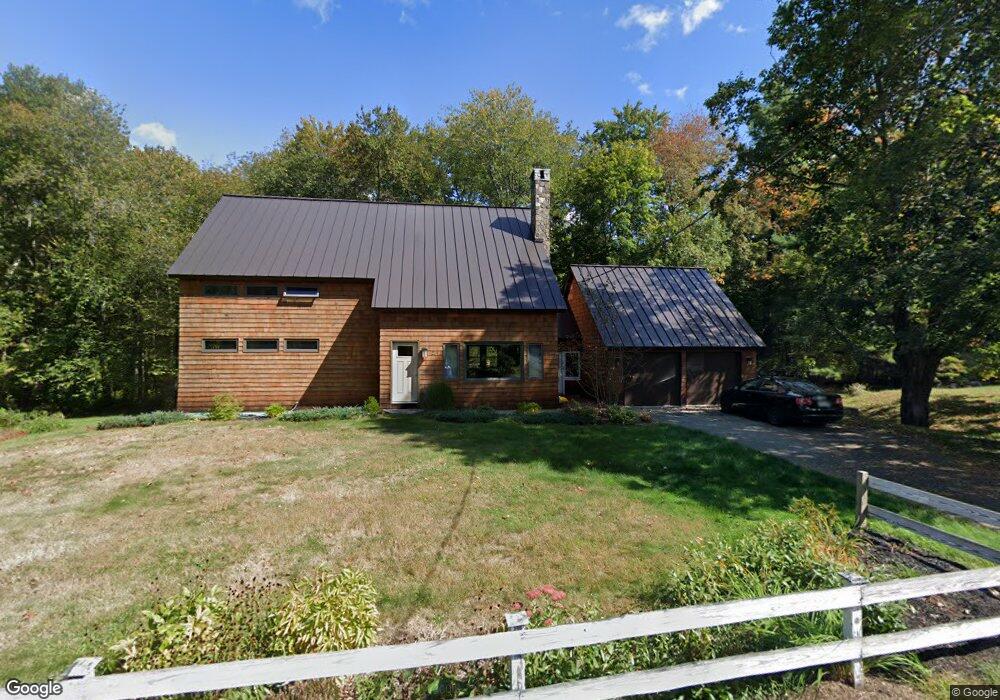
239 Littlefield Rd Boxborough, MA 01719
Estimated Value: $809,000 - $919,000
3
Beds
2
Baths
1,340
Sq Ft
$653/Sq Ft
Est. Value
About This Home
This home is located at 239 Littlefield Rd, Boxborough, MA 01719 and is currently estimated at $875,241, approximately $653 per square foot. 239 Littlefield Rd is a home located in Middlesex County with nearby schools including Acton-Boxborough Regional High School and Oak Meadow Montessori School.
Ownership History
Date
Name
Owned For
Owner Type
Purchase Details
Closed on
Dec 12, 2024
Sold by
Dushin Marguerite K
Bought by
Dushin Ft and Dushin
Current Estimated Value
Purchase Details
Closed on
May 21, 2003
Sold by
Hawes Michael and Hawes Mary
Bought by
Dushin Marguerite K and Dushin Frederick A
Home Financials for this Owner
Home Financials are based on the most recent Mortgage that was taken out on this home.
Original Mortgage
$295,900
Interest Rate
5.86%
Mortgage Type
Purchase Money Mortgage
Purchase Details
Closed on
Aug 27, 1998
Sold by
Howe Melanie S
Bought by
Hawes Michael and Callaghan Mary
Home Financials for this Owner
Home Financials are based on the most recent Mortgage that was taken out on this home.
Original Mortgage
$218,000
Interest Rate
6.9%
Mortgage Type
Purchase Money Mortgage
Purchase Details
Closed on
Jul 15, 1992
Sold by
Way Ethel L
Bought by
Howe Melanie S
Home Financials for this Owner
Home Financials are based on the most recent Mortgage that was taken out on this home.
Original Mortgage
$132,800
Interest Rate
8.54%
Mortgage Type
Purchase Money Mortgage
Create a Home Valuation Report for This Property
The Home Valuation Report is an in-depth analysis detailing your home's value as well as a comparison with similar homes in the area
Home Values in the Area
Average Home Value in this Area
Purchase History
| Date | Buyer | Sale Price | Title Company |
|---|---|---|---|
| Dushin Ft | -- | None Available | |
| Dushin Marguerite K | $369,900 | -- | |
| Dushin Marguerite K | $369,900 | -- | |
| Hawes Michael | $229,500 | -- | |
| Howe Melanie S | $166,000 | -- |
Source: Public Records
Mortgage History
| Date | Status | Borrower | Loan Amount |
|---|---|---|---|
| Previous Owner | Howe Melanie S | $266,000 | |
| Previous Owner | Dushin Marguerite K | $295,900 | |
| Previous Owner | Howe Melanie S | $218,000 | |
| Previous Owner | Howe Melanie S | $132,800 |
Source: Public Records
Tax History Compared to Growth
Tax History
| Year | Tax Paid | Tax Assessment Tax Assessment Total Assessment is a certain percentage of the fair market value that is determined by local assessors to be the total taxable value of land and additions on the property. | Land | Improvement |
|---|---|---|---|---|
| 2025 | $12,316 | $813,500 | $282,200 | $531,300 |
| 2024 | $11,745 | $783,500 | $270,800 | $512,700 |
| 2023 | $10,532 | $678,600 | $243,400 | $435,200 |
| 2022 | $10,166 | $583,600 | $243,400 | $340,200 |
| 2020 | $9,024 | $539,700 | $243,400 | $296,300 |
| 2019 | $8,862 | $539,700 | $243,400 | $296,300 |
| 2018 | $7,244 | $479,300 | $232,000 | $247,300 |
| 2017 | $6,448 | $383,600 | $232,000 | $151,600 |
| 2016 | $6,268 | $383,100 | $232,000 | $151,100 |
| 2015 | $5,926 | $355,900 | $199,700 | $156,200 |
| 2014 | $5,762 | $325,700 | $193,800 | $131,900 |
Source: Public Records
Map
Nearby Homes
- 417 Central St
- 4 Huron Rd
- 31 Mohawk Dr
- 200 Newtown Rd
- 5 Elm St Unit 1
- 62 Waite Rd
- 4 Omega Way
- 777 Depot Rd
- 134 Russet Ln
- 68 Macintosh Ln
- 19 Lincoln Dr
- 27 Lincoln Dr
- 3 West Rd
- Lot 2 Strawberry Farm
- 31 Springfield Dr
- 17 Cherry Ridge Rd
- 542 Massachusetts Ave
- 349 Arlington St
- 153 Tahattawan Rd
- 70 Loring Ave
- 252 Littlefield Rd
- 232 Littlefield Rd
- 265 Littlefield Rd
- 270 Littlefield Rd
- 214 Littlefield Rd
- 184 Littlefield Rd
- 170 Littlefield Rd
- 152 Littlefield Rd
- 134 Littlefield Rd
- 35 Sargent Rd
- 55 Sargent Rd
- 36 Sargent Rd
- 394 Littlefield Rd
- 80 Littlefield Rd
- 420 Littlefield Rd
- 436 Littlefield Rd
- 148 Sargent Rd
- 444 Littlefield Rd
- 455 Central St
- 16 Depot Rd