239 Long Point Dr Rock Island, TN 38581
Estimated Value: $308,903 - $1,047,000
--
Bed
1
Bath
1,204
Sq Ft
$481/Sq Ft
Est. Value
About This Home
This home is located at 239 Long Point Dr, Rock Island, TN 38581 and is currently estimated at $578,726, approximately $480 per square foot. 239 Long Point Dr is a home located in Van Buren County with nearby schools including Spencer Elementary School and Van Buren County High School.
Ownership History
Date
Name
Owned For
Owner Type
Purchase Details
Closed on
Aug 15, 1999
Bought by
Henson Charles L
Current Estimated Value
Purchase Details
Closed on
Mar 5, 1999
Purchase Details
Closed on
Mar 1, 1999
Bought by
Tennessee Timberline Corp
Purchase Details
Closed on
Apr 19, 1983
Bought by
Savage James A and Savage Carolyn
Purchase Details
Closed on
Jan 1, 1982
Purchase Details
Closed on
Jan 1, 1978
Create a Home Valuation Report for This Property
The Home Valuation Report is an in-depth analysis detailing your home's value as well as a comparison with similar homes in the area
Home Values in the Area
Average Home Value in this Area
Purchase History
| Date | Buyer | Sale Price | Title Company |
|---|---|---|---|
| Henson Charles L | $36,400 | -- | |
| -- | $1,180,100 | -- | |
| Tennessee Timberline Corp | -- | -- | |
| Savage James A | -- | -- | |
| -- | $250,000 | -- | |
| -- | $302,300 | -- |
Source: Public Records
Tax History Compared to Growth
Tax History
| Year | Tax Paid | Tax Assessment Tax Assessment Total Assessment is a certain percentage of the fair market value that is determined by local assessors to be the total taxable value of land and additions on the property. | Land | Improvement |
|---|---|---|---|---|
| 2025 | $1,088 | $45,325 | $0 | $0 |
| 2024 | $1,088 | $45,325 | $10,625 | $34,700 |
| 2023 | $1,088 | $45,325 | $10,625 | $34,700 |
| 2022 | $1,088 | $45,325 | $10,625 | $34,700 |
| 2021 | $1,088 | $45,325 | $10,625 | $34,700 |
| 2020 | $976 | $45,325 | $10,625 | $34,700 |
| 2019 | $817 | $35,375 | $7,500 | $27,875 |
| 2018 | $683 | $35,375 | $7,500 | $27,875 |
| 2017 | $683 | $35,375 | $7,500 | $27,875 |
| 2016 | $566 | $35,375 | $7,500 | $27,875 |
| 2015 | $566 | $29,350 | $7,500 | $21,850 |
| 2014 | $689 | $29,350 | $7,500 | $21,850 |
| 2013 | $689 | $37,645 | $0 | $0 |
Source: Public Records
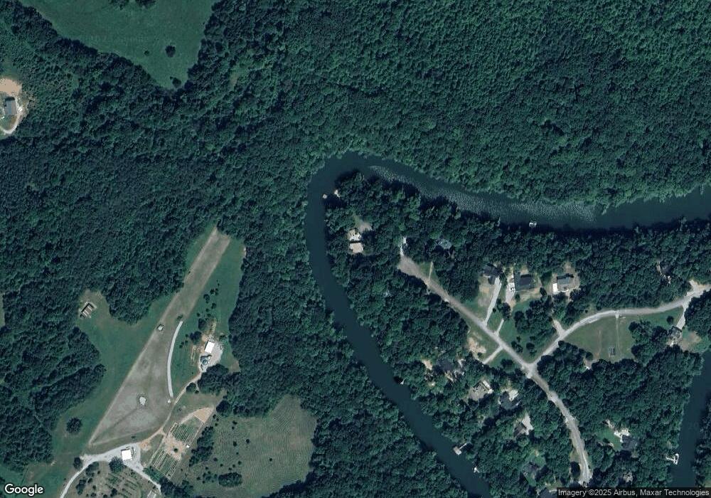
Map
Nearby Homes
- 115 Long Point Dr
- 2 Hidden River Rd
- Lot 8 Hidden River Rd
- 0 Rock Island Shores Ln
- 1.50 AC Rock Island Shores Dr
- 0 Goodbar Rd Unit RTC2866377
- 0 Goodbar Rd Unit RTC2990114
- 0 Goodbar Rd Unit RTC2866387
- 0 Goodbar Rd Unit RTC2866833
- 0 Goodbar Rd Unit RTC2990108
- 0 Goodbar Rd Unit RTC2990119
- 0 Hidden River Rd Unit RTC3050277
- 0 Hidden River Rd Unit RTC3059423
- 0 Hidden River Rd Unit 1315458
- 0 Hidden River Rd Unit RTC3050284
- 0 Hidden River Rd Unit RTC3050288
- 0 Hidden River Rd Unit RTC3052009
- 0 Hidden River Rd Unit RTC2882849
- 0 Hidden River Rd Unit RTC3042823
- 0 Hidden River Rd Unit RTC3033998
- 236 Long Point Dr
- 206 Long Point Dr
- 162 Long Point Dr
- 0 Lot #40 and #41 Long Point Dr
- Lot 38 Long Point Dr
- Lot 41 Long Point Dr
- Lot 40 Long Point Dr
- Lot 42 Long Point Dr
- 37 Long Point Dr
- Lot 46 Long Point Dr
- 63 Rocky River Shores Dr
- 3 Ac Rocky River Shore Dr
- 107 Long Point Dr
- 107 Long Point Dr
- 18 Rocky River Shores Dr
- Lot 18 Rocky River Shores Dr
- 663 Victor J Young Rd
- 77 Long Point Dr
- 73 Hidden River Rd
- 34 Rocky River Shores Dr