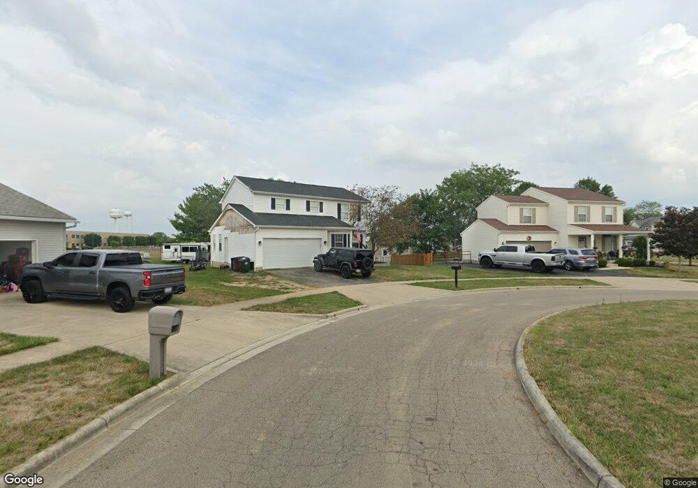
239 Peters Run Ct Commercial Point, OH 43116
Estimated Value: $313,000 - $395,000
3
Beds
4
Baths
2,296
Sq Ft
$158/Sq Ft
Est. Value
About This Home
This home is located at 239 Peters Run Ct, Commercial Point, OH 43116 and is currently estimated at $361,820, approximately $157 per square foot. 239 Peters Run Ct is a home located in Pickaway County.
Ownership History
Date
Name
Owned For
Owner Type
Purchase Details
Closed on
Nov 30, 2010
Sold by
Mason Jeffrey S and Mason Lisa
Bought by
Townsend Benjamin P and Townsend Afton N
Current Estimated Value
Home Financials for this Owner
Home Financials are based on the most recent Mortgage that was taken out on this home.
Original Mortgage
$145,709
Outstanding Balance
$97,145
Interest Rate
4.4%
Mortgage Type
FHA
Estimated Equity
$264,675
Purchase Details
Closed on
Aug 20, 2001
Sold by
Kretzer Eddie D
Bought by
Mason Jeffrey S
Create a Home Valuation Report for This Property
The Home Valuation Report is an in-depth analysis detailing your home's value as well as a comparison with similar homes in the area
Home Values in the Area
Average Home Value in this Area
Purchase History
| Date | Buyer | Sale Price | Title Company |
|---|---|---|---|
| Townsend Benjamin P | $149,500 | Stewart Title | |
| Mason Jeffrey S | $156,900 | -- |
Source: Public Records
Mortgage History
| Date | Status | Borrower | Loan Amount |
|---|---|---|---|
| Open | Townsend Benjamin P | $145,709 |
Source: Public Records
Tax History Compared to Growth
Tax History
| Year | Tax Paid | Tax Assessment Tax Assessment Total Assessment is a certain percentage of the fair market value that is determined by local assessors to be the total taxable value of land and additions on the property. | Land | Improvement |
|---|---|---|---|---|
| 2024 | -- | $97,400 | $18,580 | $78,820 |
| 2023 | $3,663 | $97,400 | $18,580 | $78,820 |
| 2022 | $3,328 | $80,520 | $15,480 | $65,040 |
| 2021 | $3,307 | $80,520 | $15,480 | $65,040 |
| 2020 | $3,308 | $80,520 | $15,480 | $65,040 |
| 2019 | $2,464 | $65,840 | $15,480 | $50,360 |
| 2018 | $2,566 | $65,840 | $15,480 | $50,360 |
| 2017 | $2,633 | $65,840 | $15,480 | $50,360 |
| 2016 | $2,142 | $53,440 | $11,830 | $41,610 |
| 2015 | $2,143 | $53,440 | $11,830 | $41,610 |
| 2014 | $2,145 | $53,440 | $11,830 | $41,610 |
| 2013 | $2,231 | $53,440 | $11,830 | $41,610 |
Source: Public Records
Map
Nearby Homes
- 56 Chambers Bay Rd
- 294 Shady Hollow Dr
- 47 Front St
- 486 Creekside Dr
- 500 Walker Pointe Dr
- 317 Adrien Ct
- 502 Conley Dr
- 49 Front St
- 513 Heidish Dr
- 403 Alberta Dr
- 229 Victorian Dr
- 55 Genoa Cir
- 62 Genoa Cir
- 66 Genoa Cir
- 201 Victorian Dr
- 45 Genoa Cir
- 310 Genoa Rd
- 182 Honey Locust Ln
- 11044 Coontz Rd
- The Siebert Plan at Genoa Crossing
- 241 Peters Run Ct
- 243 Peters Run Ct
- 133 Walnut Creek Dr
- 245 Peters Run Ct
- 133 Grove Run Rd
- 137 Walnut Creek Dr
- 136 Walnut Creek Dr
- 131 Walnut Creek Dr
- 134 Walnut Creek Dr
- 139 Walnut Creek Dr
- 138 Walnut Creek Dr
- 132 Walnut Creek Dr
- 141 Walnut Creek Dr
- 140 Walnut Creek Dr
- 125 Grove Run Rd
- 134 Grove Run Rd
- 132 Grove Run Rd
- 143 Walnut Creek Dr
- 130 Grove Run Rd
- 123 Grove Run Rd