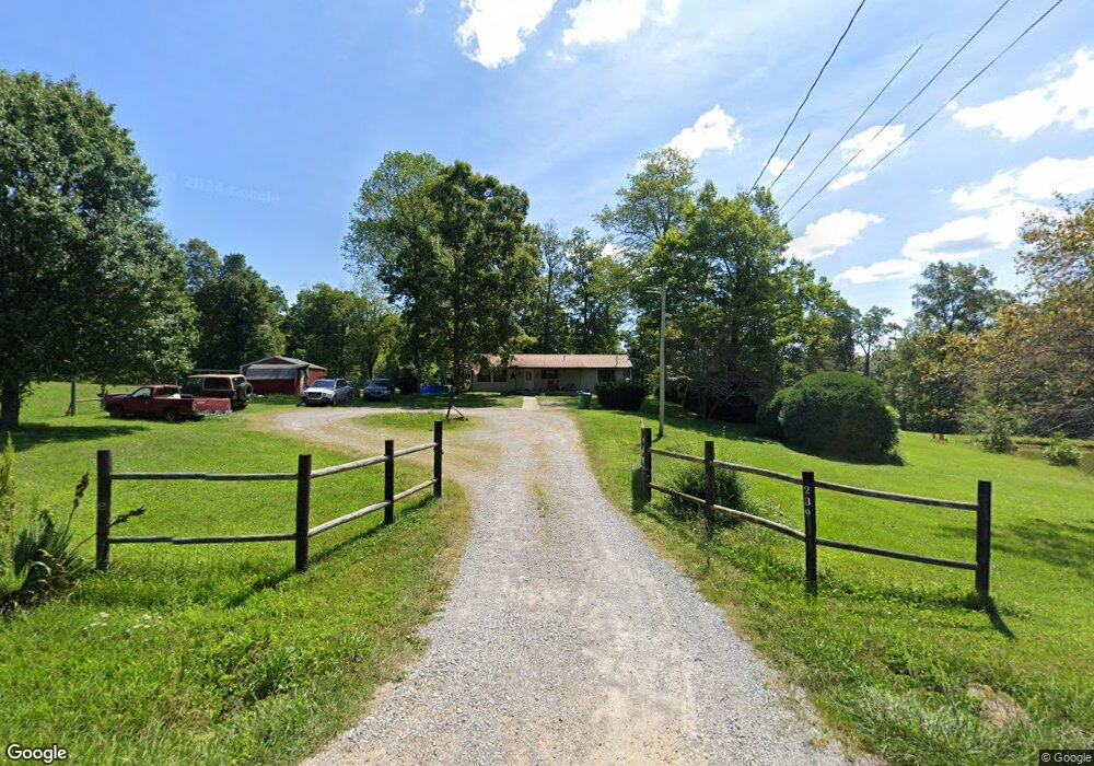
239 Red Rd Sparta, TN 38583
Estimated Value: $141,000 - $266,000
2
Beds
1
Bath
800
Sq Ft
$235/Sq Ft
Est. Value
About This Home
This home is located at 239 Red Rd, Sparta, TN 38583 and is currently estimated at $187,616, approximately $234 per square foot. 239 Red Rd is a home located in Cumberland County with nearby schools including Pleasant Hill Elementary School and Cumberland County High School.
Ownership History
Date
Name
Owned For
Owner Type
Purchase Details
Closed on
Oct 3, 2020
Sold by
Young Robert R
Bought by
Young Tina
Current Estimated Value
Purchase Details
Closed on
Feb 4, 2014
Sold by
Searles Richard
Bought by
Bess Arnold H
Purchase Details
Closed on
Nov 19, 2013
Sold by
Bess Arnold H
Bought by
Searles Richard and Searles Teresa
Purchase Details
Closed on
Aug 5, 2005
Sold by
Bess J W
Bought by
Bess Arnold
Purchase Details
Closed on
Sep 28, 2004
Sold by
Bess Arnold
Bought by
Bess J W
Purchase Details
Closed on
Mar 20, 1995
Sold by
Bess J W
Bought by
Bess Arnold
Purchase Details
Closed on
May 24, 1991
Bought by
Bess Arnold
Create a Home Valuation Report for This Property
The Home Valuation Report is an in-depth analysis detailing your home's value as well as a comparison with similar homes in the area
Home Values in the Area
Average Home Value in this Area
Purchase History
| Date | Buyer | Sale Price | Title Company |
|---|---|---|---|
| Young Tina | -- | None Available | |
| Bess Arnold H | -- | -- | |
| Searles Richard | -- | -- | |
| Bess Arnold | $6,900 | -- | |
| Bess J W | $62,100 | -- | |
| Bess Arnold | $7,500 | -- | |
| Bess Arnold | $7,500 | -- |
Source: Public Records
Tax History Compared to Growth
Tax History
| Year | Tax Paid | Tax Assessment Tax Assessment Total Assessment is a certain percentage of the fair market value that is determined by local assessors to be the total taxable value of land and additions on the property. | Land | Improvement |
|---|---|---|---|---|
| 2024 | $350 | $30,875 | $6,300 | $24,575 |
| 2023 | $350 | $30,875 | $0 | $0 |
| 2022 | $350 | $30,875 | $6,300 | $24,575 |
| 2021 | $324 | $20,675 | $5,450 | $15,225 |
| 2020 | $324 | $20,675 | $5,450 | $15,225 |
| 2019 | $324 | $20,675 | $5,450 | $15,225 |
| 2018 | $324 | $20,675 | $5,450 | $15,225 |
| 2017 | $304 | $20,675 | $5,450 | $15,225 |
| 2016 | $301 | $19,725 | $5,450 | $14,275 |
| 2015 | $295 | $19,725 | $5,450 | $14,275 |
| 2014 | -- | $19,726 | $0 | $0 |
Source: Public Records
Map
Nearby Homes
- 1748 Rodgers Rd
- 0 Ault Rd
- 1049 Rodgers Rd
- Lot 213 Buck Loop
- 11440 Highway 70 W
- 7742 Glade Creek Rd
- 306 Viola Dr
- 0 Browntown Rd Unit 238357
- 0 Browntown Rd Unit 1310748
- 89 Elm Ln
- 519 Yonside Dr
- 0 Casteel Rd
- 54 Peterson Ln
- 496 Yonside Dr
- 0 Glade Creek Rd
- 445 Yon Side Dr
- 260 Yonside Dr
- 332 Yonside Dr
- 197 Evergreen Place
- 84 Evergreen Place