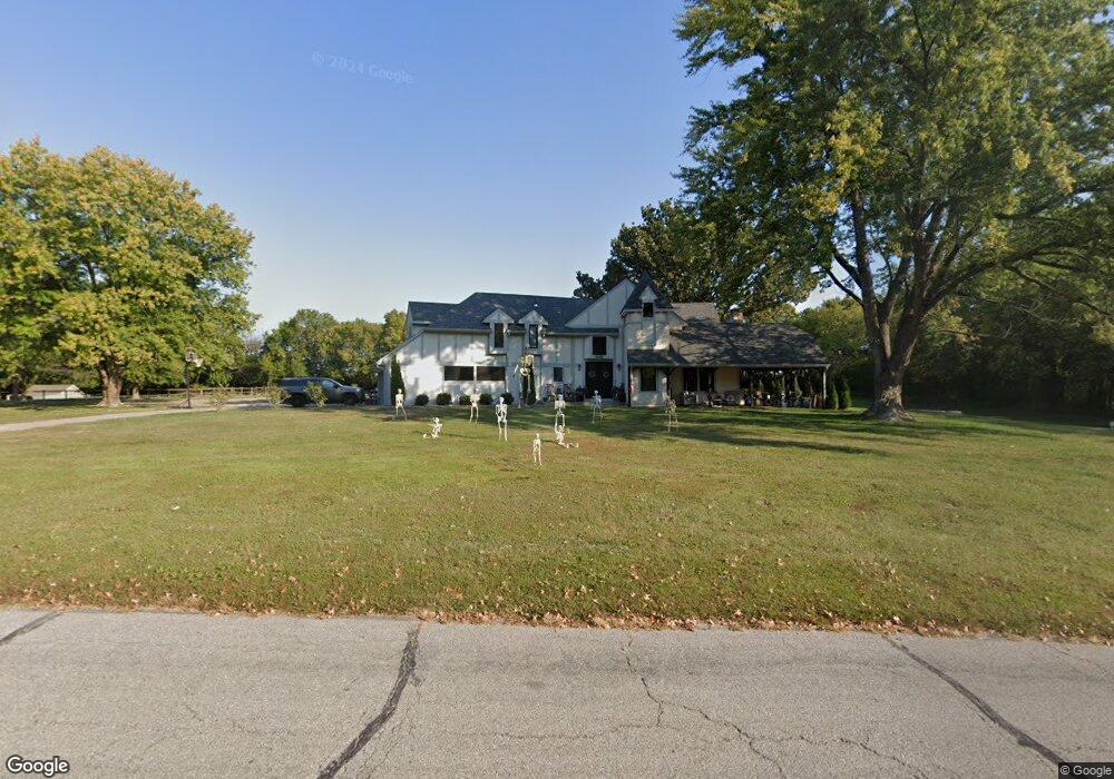
23904 Pratt Rd Lees Summit, MO 64086
Estimated Value: $556,368 - $778,000
4
Beds
3
Baths
2,799
Sq Ft
$239/Sq Ft
Est. Value
About This Home
This home is located at 23904 Pratt Rd, Lees Summit, MO 64086 and is currently estimated at $668,592, approximately $238 per square foot. 23904 Pratt Rd is a home located in Jackson County with nearby schools including Woodland Elementary School, Pleasant Lea Middle School, and Lee's Summit Senior High School.
Ownership History
Date
Name
Owned For
Owner Type
Purchase Details
Closed on
Apr 29, 2020
Sold by
Carroll Barbara A
Bought by
Sheets Ronald J and Sheets Amber K
Current Estimated Value
Home Financials for this Owner
Home Financials are based on the most recent Mortgage that was taken out on this home.
Original Mortgage
$150,000
Outstanding Balance
$133,379
Interest Rate
3.6%
Mortgage Type
Commercial
Estimated Equity
$535,213
Purchase Details
Closed on
Sep 20, 2019
Sold by
Carroll Barbara A
Bought by
Carroll Barbara A
Create a Home Valuation Report for This Property
The Home Valuation Report is an in-depth analysis detailing your home's value as well as a comparison with similar homes in the area
Home Values in the Area
Average Home Value in this Area
Purchase History
| Date | Buyer | Sale Price | Title Company |
|---|---|---|---|
| Sheets Ronald J | -- | Kansas City Title Inc | |
| Carroll Barbara A | -- | Accommodation |
Source: Public Records
Mortgage History
| Date | Status | Borrower | Loan Amount |
|---|---|---|---|
| Open | Sheets Ronald J | $150,000 |
Source: Public Records
Tax History Compared to Growth
Tax History
| Year | Tax Paid | Tax Assessment Tax Assessment Total Assessment is a certain percentage of the fair market value that is determined by local assessors to be the total taxable value of land and additions on the property. | Land | Improvement |
|---|---|---|---|---|
| 2025 | $4,443 | $73,285 | $54,952 | $18,333 |
| 2024 | $4,443 | $63,726 | $7,701 | $56,025 |
| 2023 | $4,397 | $63,726 | $12,280 | $51,446 |
| 2022 | $4,768 | $60,800 | $11,584 | $49,216 |
| 2021 | $4,560 | $60,800 | $11,584 | $49,216 |
| 2020 | $4,511 | $57,899 | $11,584 | $46,315 |
| 2019 | $5,065 | $66,526 | $11,584 | $54,942 |
| 2018 | $999,276 | $57,899 | $10,082 | $47,817 |
| 2017 | $4,633 | $57,899 | $10,082 | $47,817 |
| 2016 | $4,633 | $56,012 | $11,362 | $44,650 |
| 2014 | $4,848 | $57,312 | $8,565 | $48,747 |
Source: Public Records
Map
Nearby Homes
- 25207 Timberlake Trail
- 14017 Crawford Creek Cir
- 14400 Stringtown Ct
- 13904 Crawford Creek Cir
- 14412 Stringtown Ct
- 14609 Stringtown Dr
- 13932 Crawford Creek Ct
- 13911 Crawford Creek Cir
- 14409 Stringtown Ct
- 14516 Stringtown Dr
- 14403 Stringtown Ct
- 14610 Stringtown Cir
- 13908 Crawford Creek Cir
- 14502 Stringtown Cir
- 12714 S Harris Rd
- 633 SE Athens Dr
- 416 SE Stillwater Ct
- 2433 SE 6th St
- Twin Tupelo Plan at Bailey Farms
- Basswood Plan at Bailey Farms
- 23903 Pratt Rd
- 23912 Pratt Rd
- 24005 Pratt Rd
- 12915 Quail Ridge
- 23807 Pratt Rd
- 12905 Quail Ridge
- 12915 Meadowlark St
- 13005 Pratt Rd
- 12922 Quail Ridge
- 12922 Quail Ridge
- 12907 Meadowlark St
- 12912 Quail Ridge
- 24101 Pratt Rd
- 12904 Quail Ridge
- 13004 Pratt Rd
- 24008 Poindexter Rd
- 13013 Pratt Rd
- 24204 Poindexter Rd
- 24107 Poindexter Rd
- 24109 Poindexter Rd