2391 Roanoke Rd Lagrange, GA 30240
Estimated Value: $274,969 - $295,000
3
Beds
2
Baths
1,933
Sq Ft
$145/Sq Ft
Est. Value
About This Home
This home is located at 2391 Roanoke Rd, Lagrange, GA 30240 and is currently estimated at $281,242, approximately $145 per square foot. 2391 Roanoke Rd is a home located in Troup County with nearby schools including Berta Weathersbee Elementary School, Whitesville Road Elementary School, and Long Cane Elementary School.
Ownership History
Date
Name
Owned For
Owner Type
Purchase Details
Closed on
Apr 5, 2024
Sold by
Banks Midylene Y
Bought by
Stefenoni Martha Banks
Current Estimated Value
Purchase Details
Closed on
Dec 19, 2016
Sold by
Banks Midylene Y
Bought by
Csx Transportation Inc
Purchase Details
Closed on
Aug 29, 1994
Sold by
John M Banks By Ex
Bought by
Banks Midylene Y
Purchase Details
Closed on
Dec 1, 1970
Sold by
W D Sharp Estate
Bought by
John M Banks By Ex
Create a Home Valuation Report for This Property
The Home Valuation Report is an in-depth analysis detailing your home's value as well as a comparison with similar homes in the area
Purchase History
| Date | Buyer | Sale Price | Title Company |
|---|---|---|---|
| Stefenoni Martha Banks | -- | -- | |
| Csx Transportation Inc | $11,500 | -- | |
| Banks Midylene Y | -- | -- | |
| John M Banks By Ex | $12,500 | -- |
Source: Public Records
Tax History
| Year | Tax Paid | Tax Assessment Tax Assessment Total Assessment is a certain percentage of the fair market value that is determined by local assessors to be the total taxable value of land and additions on the property. | Land | Improvement |
|---|---|---|---|---|
| 2025 | $2,089 | $98,000 | $15,120 | $82,880 |
| 2024 | $2,089 | $84,400 | $15,080 | $69,320 |
| 2023 | $1,791 | $73,480 | $18,960 | $54,520 |
| 2022 | $1,759 | $70,760 | $18,960 | $51,800 |
| 2021 | $1,442 | $55,560 | $16,160 | $39,400 |
| 2020 | $1,442 | $55,560 | $16,160 | $39,400 |
| 2019 | $1,425 | $55,000 | $16,160 | $38,840 |
| 2018 | $1,319 | $51,480 | $16,160 | $35,320 |
| 2017 | $1,319 | $51,480 | $16,160 | $35,320 |
| 2016 | $1,150 | $45,877 | $12,764 | $33,113 |
| 2015 | $1,150 | $45,877 | $12,764 | $33,113 |
| 2014 | $1,097 | $44,134 | $12,764 | $31,370 |
| 2013 | -- | $45,937 | $12,764 | $33,173 |
Source: Public Records
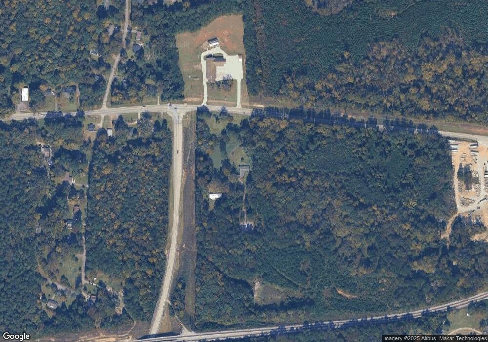
Map
Nearby Homes
- 3 Reed Dr
- 229 W Lakeview Dr
- 303 W Lakeview Dr
- 0 Unit 10514554
- 223 Pinehaven Dr
- 336 Whitaker Rd
- 117 Brookwood Dr
- 8 Horace Carter Rd
- 427 Fling Rd
- 0 Bradfield Dr Unit 10568803
- 104 Spring Valley Dr
- 509 Connie Dr
- 641 Whitaker Rd
- 101 Crown St Unit LOT 5
- 200 Cheyenne Dr
- 102 Crown St Unit LOT 1
- The Rhodes Plan at Crown Street Cottages
- The Truitt Plan at Crown Street Cottages
- The Callaway Plan at Crown Street Cottages
- 120 Laurel Ridge Ave E
- 2439 Roanoke Rd
- 2441 Roanoke Rd
- 2392 Roanoke Rd
- 202 W Lakeview Dr
- 204 W Lakeview Dr
- 2449 Roanoke Rd
- 206 W Lakeview Dr
- 5911 Roanoke Rd
- 26 Faulk Rd
- 208 W Lakeview Dr
- 42 Faulk Rd
- 201 W Lakeview Dr
- 2451 Roanoke Rd
- 64 Faulk Rd
- 222 E Lakeview Dr
- 203 W Lakeview Dr
- 206 E Lakeview Dr
- 224 E Lakeview Dr
- 121 Faulk Rd
- 204 E Lakeview Dr
Your Personal Tour Guide
Ask me questions while you tour the home.