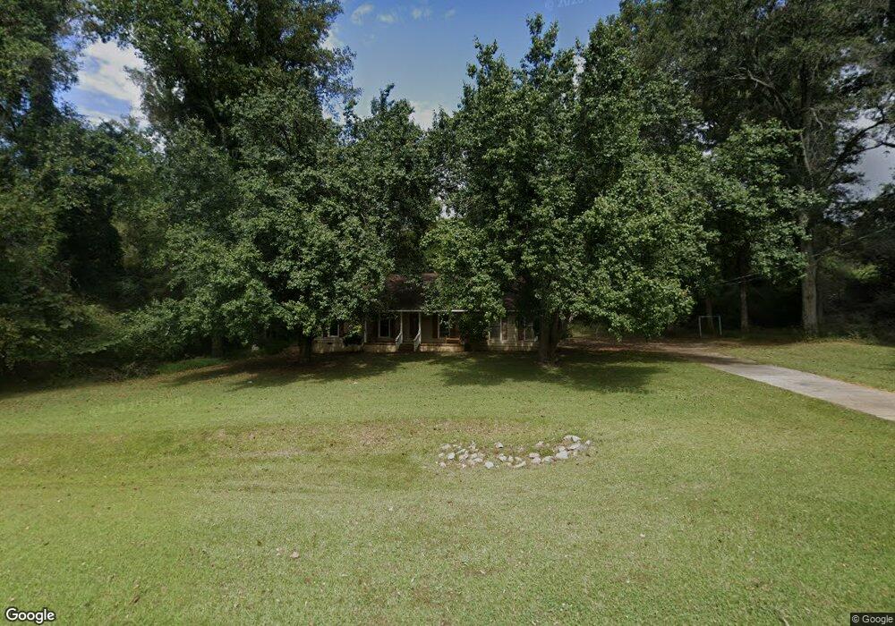
2392 Roanoke Rd Lagrange, GA 30240
Estimated Value: $207,800 - $226,000
3
Beds
2
Baths
1,320
Sq Ft
$165/Sq Ft
Est. Value
About This Home
This home is located at 2392 Roanoke Rd, Lagrange, GA 30240 and is currently estimated at $217,950, approximately $165 per square foot. 2392 Roanoke Rd is a home located in Troup County with nearby schools including Ethel W. Kight Elementary School, Hollis Hand Elementary School, and Franklin Forest Elementary School.
Ownership History
Date
Name
Owned For
Owner Type
Purchase Details
Closed on
May 6, 2008
Sold by
Whitlock David E
Bought by
Department Of Transportation
Current Estimated Value
Purchase Details
Closed on
Aug 5, 1992
Sold by
Whitlock David E
Bought by
Whitlock David E and Whitlock Jo E
Purchase Details
Closed on
Nov 28, 1988
Sold by
Bailey Bros Const Co Inc
Bought by
Whitlock David E
Purchase Details
Closed on
May 1, 1988
Sold by
Willie G Weathers
Bought by
Bailey Bros Const Co Inc
Purchase Details
Closed on
Apr 1, 1985
Sold by
William L Hutchinson
Bought by
Willie G Weathers
Create a Home Valuation Report for This Property
The Home Valuation Report is an in-depth analysis detailing your home's value as well as a comparison with similar homes in the area
Purchase History
| Date | Buyer | Sale Price | Title Company |
|---|---|---|---|
| Department Of Transportation | -- | -- | |
| Whitlock David E | -- | -- | |
| Whitlock David E | $64,500 | -- | |
| Bailey Bros Const Co Inc | -- | -- | |
| Willie G Weathers | -- | -- |
Source: Public Records
Tax History
| Year | Tax Paid | Tax Assessment Tax Assessment Total Assessment is a certain percentage of the fair market value that is determined by local assessors to be the total taxable value of land and additions on the property. | Land | Improvement |
|---|---|---|---|---|
| 2025 | $874 | $63,632 | $10,000 | $53,632 |
| 2024 | $748 | $56,488 | $10,000 | $46,488 |
| 2023 | $587 | $50,576 | $10,000 | $40,576 |
| 2022 | $547 | $48,216 | $10,000 | $38,216 |
| 2021 | $965 | $39,760 | $10,000 | $29,760 |
| 2020 | $845 | $35,760 | $6,000 | $29,760 |
| 2019 | $892 | $37,320 | $6,000 | $31,320 |
| 2018 | $705 | $31,120 | $2,840 | $28,280 |
| 2017 | $681 | $30,320 | $2,840 | $27,480 |
| 2016 | $690 | $30,615 | $2,840 | $27,775 |
| 2015 | $690 | $30,615 | $2,840 | $27,775 |
| 2014 | $646 | $29,153 | $2,840 | $26,313 |
| 2013 | -- | $30,556 | $2,840 | $27,716 |
Source: Public Records
Map
Nearby Homes
- 3 Reed Dr
- 0 Unit 10514554
- 223 Pinehaven Dr
- 336 Whitaker Rd
- 117 Brookwood Dr
- 104 Spring Valley Dr
- 8 Horace Carter Rd
- 427 Fling Rd
- 0 Bradfield Dr Unit 10568803
- 509 Connie Dr
- 641 Whitaker Rd
- 200 Cheyenne Dr
- 203 Shawnee Dr
- 808 S Fling Rd
- 0 Hills and Dales Farm Rd
- 101 Crown St Unit LOT 5
- 102 Crown St Unit LOT 1
- 120 Laurel Ridge Ave E
- 107 Clark St
- 608 Wilburn Ave
- 202 W Lakeview Dr
- 204 W Lakeview Dr
- 2439 Roanoke Rd
- 206 W Lakeview Dr
- 2441 Roanoke Rd
- 208 W Lakeview Dr
- 201 W Lakeview Dr
- 203 W Lakeview Dr
- 5911 Roanoke Rd
- 205 W Lakeview Dr
- 2449 Roanoke Rd
- 210 W Lakeview Dr
- 2404 Roanoke Rd
- 204 E Lakeview Dr
- 2451 Roanoke Rd
- 207 W Lakeview Dr
- 206 E Lakeview Dr
- 222 E Lakeview Dr
- 26 Faulk Rd
- 2450 Roanoke Rd
Your Personal Tour Guide
Ask me questions while you tour the home.