23948 Mount Misery Rd Saint Michaels, MD 21663
Estimated Value: $3,079,000 - $3,693,000
--
Bed
4
Baths
4,991
Sq Ft
$683/Sq Ft
Est. Value
About This Home
This home is located at 23948 Mount Misery Rd, Saint Michaels, MD 21663 and is currently estimated at $3,411,005, approximately $683 per square foot. 23948 Mount Misery Rd is a home located in Talbot County with nearby schools including St. Michaels Elementary School, St. Michaels Middle/High School, and Easton High School.
Ownership History
Date
Name
Owned For
Owner Type
Purchase Details
Closed on
Jun 9, 2003
Sold by
Underhill James M
Bought by
Conniff George E and Conniff Diane M
Current Estimated Value
Purchase Details
Closed on
Apr 8, 1999
Sold by
Schaefer Konrad K
Bought by
Underhill James M and Underhill Elizabeth
Purchase Details
Closed on
Feb 28, 1997
Sold by
Brillembourg Arturo E
Bought by
Schaefer Konrad K and Schaefer Gloria
Purchase Details
Closed on
Aug 9, 1994
Sold by
Fleagane Claudia J
Bought by
Brillembourg Arturo E and And Hilda M Ocho
Create a Home Valuation Report for This Property
The Home Valuation Report is an in-depth analysis detailing your home's value as well as a comparison with similar homes in the area
Home Values in the Area
Average Home Value in this Area
Purchase History
| Date | Buyer | Sale Price | Title Company |
|---|---|---|---|
| Conniff George E | $1,450,000 | -- | |
| Underhill James M | $1,294,950 | -- | |
| Schaefer Konrad K | $975,000 | -- | |
| Brillembourg Arturo E | $545,000 | -- |
Source: Public Records
Tax History Compared to Growth
Tax History
| Year | Tax Paid | Tax Assessment Tax Assessment Total Assessment is a certain percentage of the fair market value that is determined by local assessors to be the total taxable value of land and additions on the property. | Land | Improvement |
|---|---|---|---|---|
| 2025 | $17,755 | $2,374,700 | $1,200,600 | $1,174,100 |
| 2024 | $17,755 | $2,258,133 | $0 | $0 |
| 2023 | $16,583 | $2,141,567 | $0 | $0 |
| 2022 | $15,170 | $2,025,000 | $1,140,600 | $884,400 |
| 2021 | $14,232 | $1,981,033 | $0 | $0 |
| 2020 | $14,232 | $1,937,067 | $0 | $0 |
| 2019 | $14,182 | $1,893,100 | $1,050,400 | $842,700 |
| 2018 | $13,714 | $1,893,100 | $1,050,400 | $842,700 |
| 2017 | $13,046 | $1,893,100 | $0 | $0 |
| 2016 | $13,025 | $2,008,000 | $0 | $0 |
| 2015 | $12,986 | $2,008,100 | $0 | $0 |
| 2014 | $12,986 | $2,008,100 | $0 | $0 |
Source: Public Records
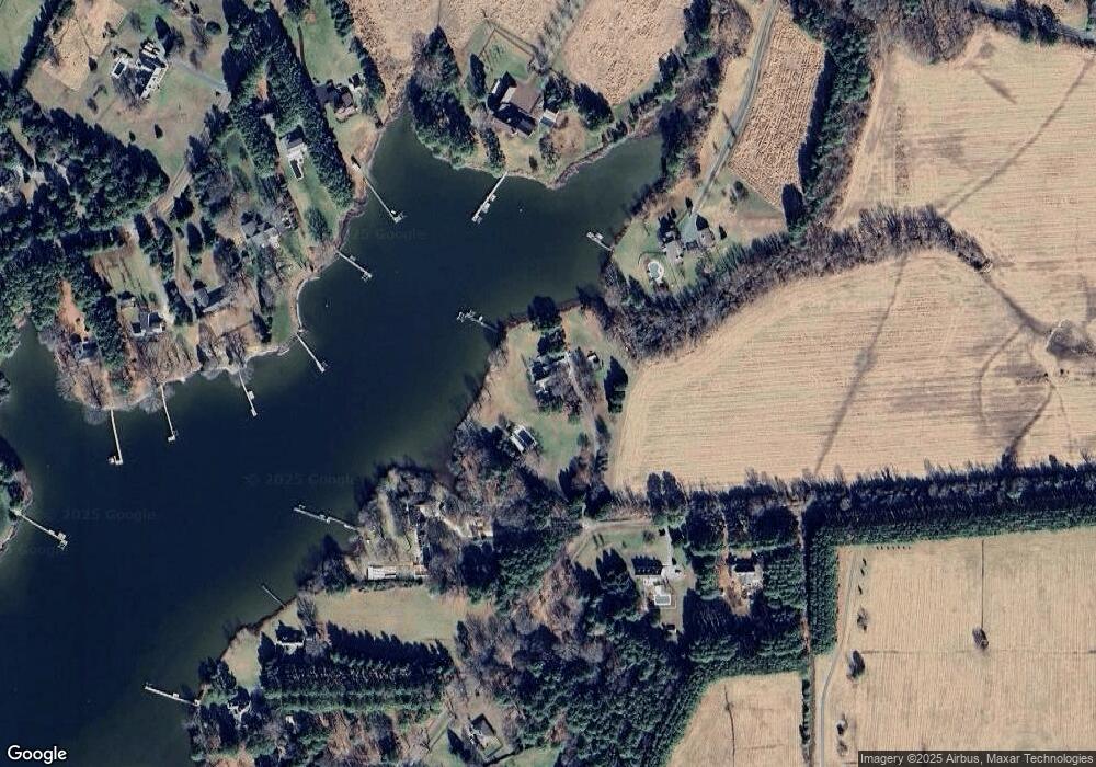
Map
Nearby Homes
- 23869 Mount Misery Rd
- 23961 Lynnewood Dr
- 216 Brooks Ln
- 0 Bozman Neavitt Rd Unit MDTA2011976
- 102 Gloria Ave
- 300 Perry St
- 24318 Oakwood Park Rd
- 8620 Bozman Neavitt Rd
- 209 Webb Ln
- 207 Dodson Ave
- 408 Spinnaker Ln
- 100 Grace St
- 24390 Oakwood Park Rd
- 107 E Chestnut St
- 8034 Bozman Neavitt Rd
- 105 Seymour Ave
- 222 E Chestnut St
- 23857 Ebb Point Rd
- 216 E Chew Ave
- 704 Meadow St
- 23946 Mount Misery Rd
- 23969 Mount Pleasant Rd
- 23965 Mount Misery Rd
- 23933 Mount Misery Rd
- 23963 Mount Pleasant Rd
- 23987 Mount Misery Rd
- 23963 Church Neck Rd
- 23658 Mount Pleasant Landing Cir
- 23911 Mount Misery Rd
- 23658 Mount Pleasant Landing Cir
- 25496 Chance Farm Rd
- 23664 Mount Pleasant Landing Cir
- 23916 Mount Misery Rd
- 23650 Mount Pleasant Landing Cir
- 23664 Mount Pleasant Landing Cir
- 23652 Mount Pleasant Landing Cir
- 23902 Mount Misery Rd
- 23668 Mount Pleasant Landing Cir
- 23668 Mount Pleasant Landing Cir
- 23912 Mount Misery Rd