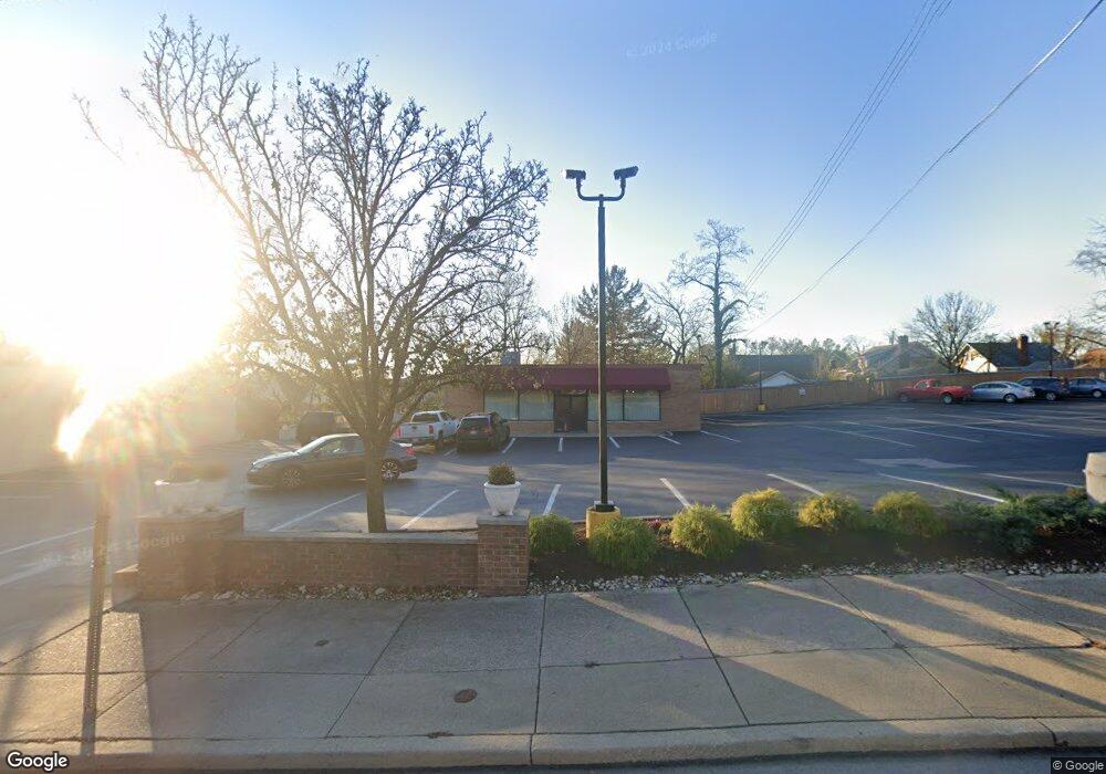
2395 Boudinot Ave Unit B Cincinnati, OH 45238
Westwood Neighborhood
Studio
--
Bath
1,536
Sq Ft
7,318
Sq Ft Lot
About This Home
This home is located at 2395 Boudinot Ave Unit B, Cincinnati, OH 45238. 2395 Boudinot Ave Unit B is a home located in Hamilton County with nearby schools including Midway Elementary School, Western Hills High School, and Gilbert A. Dater High School.
Ownership History
Date
Name
Owned For
Owner Type
Purchase Details
Closed on
May 31, 2011
Sold by
Boudinot Ii Limited Partnership
Bought by
Boudinot Limited Partnership
Purchase Details
Closed on
Jun 10, 2010
Sold by
Ab Day Associates Inc
Bought by
Boudinot Ii Limited Partnership
Home Financials for this Owner
Home Financials are based on the most recent Mortgage that was taken out on this home.
Original Mortgage
$362,500
Interest Rate
5.13%
Mortgage Type
Commercial
Create a Home Valuation Report for This Property
The Home Valuation Report is an in-depth analysis detailing your home's value as well as a comparison with similar homes in the area
Home Values in the Area
Average Home Value in this Area
Purchase History
| Date | Buyer | Sale Price | Title Company |
|---|---|---|---|
| Boudinot Limited Partnership | -- | Attorney | |
| Boudinot Ii Limited Partnership | $412,500 | Attorney |
Source: Public Records
Mortgage History
| Date | Status | Borrower | Loan Amount |
|---|---|---|---|
| Previous Owner | Boudinot Ii Limited Partnership | $362,500 |
Source: Public Records
Tax History
| Year | Tax Paid | Tax Assessment Tax Assessment Total Assessment is a certain percentage of the fair market value that is determined by local assessors to be the total taxable value of land and additions on the property. | Land | Improvement |
|---|---|---|---|---|
| 2025 | $4,077 | $49,025 | $34,885 | $14,140 |
| 2023 | $4,039 | $49,025 | $34,885 | $14,140 |
| 2022 | $4,091 | $45,007 | $33,663 | $11,344 |
| 2021 | $4,015 | $45,007 | $33,663 | $11,344 |
| 2020 | $4,020 | $45,007 | $33,663 | $11,344 |
| 2019 | $4,109 | $42,462 | $31,759 | $10,703 |
| 2018 | $4,111 | $42,462 | $31,759 | $10,703 |
| 2017 | $3,981 | $42,462 | $31,759 | $10,703 |
| 2016 | $4,013 | $41,941 | $32,907 | $9,034 |
| 2015 | $3,688 | $41,941 | $32,907 | $9,034 |
| 2014 | $3,700 | $41,941 | $32,907 | $9,034 |
| 2013 | $3,786 | $42,798 | $33,579 | $9,219 |
Source: Public Records
Map
Nearby Homes
- 3124 Veazey Ave
- 3141 W Tower Ave
- 3061 Veazey Ave
- 5020 Sidney Rd
- 2925 Boudinot Ave
- 4915 Heuwerth Ave
- 1650 Colonial Dr
- 5132 Ralph Ave
- 3004 Glenmore Ave
- 3011 Westbrook Dr
- 3373 Kathy Ln
- 4778 Prosperity Place
- 3305 Queen City Ave
- 4740 Green Glen Ln
- 5352 Laured Place
- 2195 Woodmere Ct
- 3106 Werk Rd
- 1877 Ashbrook Dr
- 4965 Glenway Ave
- 4734 Prosperity Place
- 2395 Boudinot Ave
- 2400 Nova Ave
- 2396 Nova Ave
- 2391 Boudinot Ave Unit C
- 2391 Boudinot Ave Unit B
- 2391 Boudinot Ave
- 2404 Nova Ave
- 2408 Nova Ave
- 2388 Nova Ave
- 2412 Nova Ave
- 2414 Nova Ave
- 2384 Nova Ave
- 2380 Nova Ave
- 2397 Nova Ave
- 2401 Nova Ave
- 2391 Nova Ave
- 2418 Nova Ave
- 2385 Nova Ave
- 2405 Nova Ave
- 2409 Nova Ave
Your Personal Tour Guide
Ask me questions while you tour the home.