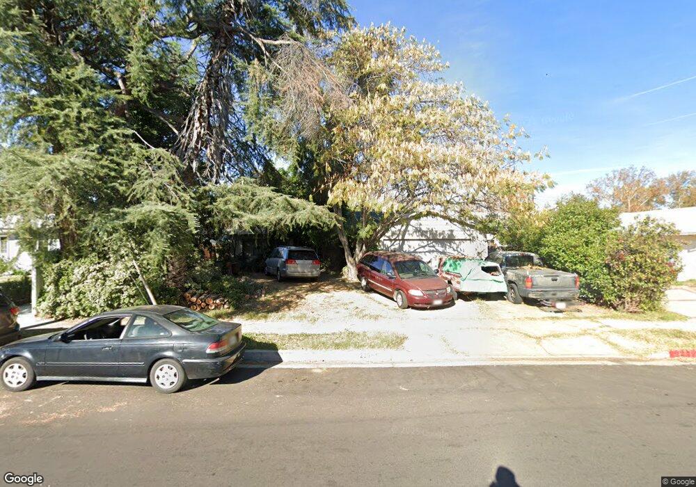
23951 Kittridge St West Hills, CA 91307
Estimated Value: $935,190 - $1,037,000
3
Beds
2
Baths
1,570
Sq Ft
$626/Sq Ft
Est. Value
About This Home
This home is located at 23951 Kittridge St, West Hills, CA 91307 and is currently estimated at $982,298, approximately $625 per square foot. 23951 Kittridge St is a home located in Los Angeles County with nearby schools including Haynes Charter For Enriched Studies, Lockhurst Drive Charter Elementary, and Enadia Way Technology Charter.
Ownership History
Date
Name
Owned For
Owner Type
Purchase Details
Closed on
Jul 5, 2018
Sold by
Hazard David F
Bought by
Hazard Catherine A
Current Estimated Value
Purchase Details
Closed on
Aug 20, 1999
Sold by
Swanson Jerry A and Swanson Patricia A
Bought by
Hazard David F and Hazard Jayne S
Home Financials for this Owner
Home Financials are based on the most recent Mortgage that was taken out on this home.
Original Mortgage
$152,000
Interest Rate
5.67%
Purchase Details
Closed on
Aug 12, 1996
Sold by
Swanson Jerry A and Swanson Patricia A
Bought by
Swanson Jerry A and Swanson Patricia A
Purchase Details
Closed on
Apr 28, 1994
Sold by
Swanson Jerry A and Swanson Patricia A
Bought by
Swanson Jerry A and Swanson Patricia A
Create a Home Valuation Report for This Property
The Home Valuation Report is an in-depth analysis detailing your home's value as well as a comparison with similar homes in the area
Home Values in the Area
Average Home Value in this Area
Purchase History
| Date | Buyer | Sale Price | Title Company |
|---|---|---|---|
| Hazard Catherine A | $254,545 | None Available | |
| Hazard Catherine Ann | -- | None Available | |
| Hazard David F | $190,000 | Fidelity National Title | |
| Swanson Jerry A | -- | -- | |
| Swanson Jerry A | -- | -- |
Source: Public Records
Mortgage History
| Date | Status | Borrower | Loan Amount |
|---|---|---|---|
| Previous Owner | Hazard David F | $152,000 |
Source: Public Records
Tax History Compared to Growth
Tax History
| Year | Tax Paid | Tax Assessment Tax Assessment Total Assessment is a certain percentage of the fair market value that is determined by local assessors to be the total taxable value of land and additions on the property. | Land | Improvement |
|---|---|---|---|---|
| 2025 | $6,317 | $508,530 | $367,790 | $140,740 |
| 2024 | $6,317 | $498,560 | $360,579 | $137,981 |
| 2023 | $6,199 | $488,785 | $353,509 | $135,276 |
| 2022 | $5,915 | $479,202 | $346,578 | $132,624 |
| 2021 | $5,840 | $469,807 | $339,783 | $130,024 |
| 2019 | $5,668 | $455,873 | $329,705 | $126,168 |
| 2018 | $3,322 | $256,632 | $205,313 | $51,319 |
| 2017 | $3,251 | $251,601 | $201,288 | $50,313 |
| 2016 | $3,166 | $246,669 | $197,342 | $49,327 |
| 2015 | $3,122 | $242,965 | $194,378 | $48,587 |
| 2014 | $3,141 | $238,207 | $190,571 | $47,636 |
Source: Public Records
Map
Nearby Homes
- 23928 Archwood St
- 23921 Hamlin St
- 23920 Vanowen St
- 24101 Mobile St
- 24224 Welby Way
- 23800 Hartland St
- 24208 Gilmore St
- 24415 Lemay St
- 24206 Saint Edens Cir
- 7031 Deveron Ridge Rd
- 24017 Sylvan St
- 6941 Scarborough Peak Dr
- 23701 Sylvan St
- 24244 Friar St
- 6236 Kenwater Ave
- 23549 Victory Blvd Unit 21
- 6153 Debs Ave
- 7119 Deveron Ridge Rd
- 24308 Highlander Rd
- 7044 Scarborough Peak Dr
- 23945 Kittridge St
- 23957 Kittridge St
- 24001 Kittridge St
- 23952 Archwood St
- 23958 Archwood St
- 23946 Archwood St
- 23940 Archwood St
- 24000 Archwood St
- 23933 Kittridge St
- 24009 Kittridge St
- 23934 Archwood St
- 24006 Archwood St
- 23927 Kittridge St
- 6625 Lockhurst Dr
- 24015 Kittridge St
- 24012 Archwood St
- 24010 Kittridge St
- 23921 Kittridge St
- 23953 Archwood St
- 23949 Archwood St