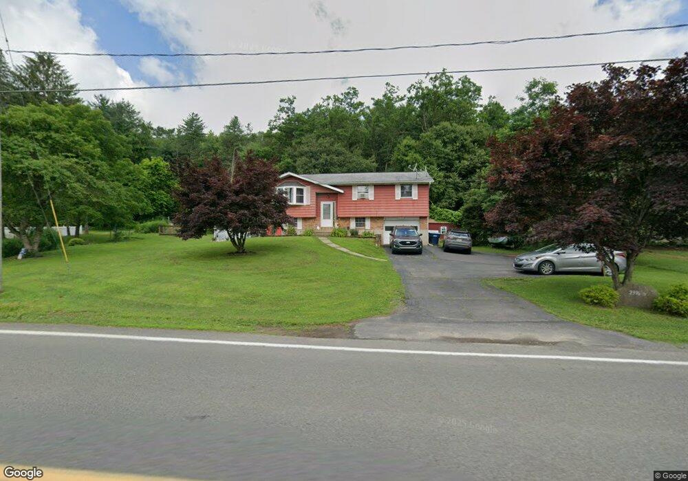
2396 State Route 92 Hwy Harding, PA 18643
Estimated Value: $233,376 - $298,000
--
Bed
--
Bath
1,876
Sq Ft
$145/Sq Ft
Est. Value
About This Home
This home is located at 2396 State Route 92 Hwy, Harding, PA 18643 and is currently estimated at $272,094, approximately $145 per square foot. 2396 State Route 92 Hwy is a home with nearby schools including Wyoming Area Secondary Center.
Ownership History
Date
Name
Owned For
Owner Type
Purchase Details
Closed on
Jan 15, 2025
Sold by
Kile Barbara A
Bought by
Manning Samantha and Monahan Zachary
Current Estimated Value
Purchase Details
Closed on
Apr 26, 2012
Sold by
Komer Thomas and Komer Williams Sandra
Bought by
Kile Robert F and Kile Barbara A
Home Financials for this Owner
Home Financials are based on the most recent Mortgage that was taken out on this home.
Original Mortgage
$133,600
Interest Rate
4.08%
Mortgage Type
VA
Create a Home Valuation Report for This Property
The Home Valuation Report is an in-depth analysis detailing your home's value as well as a comparison with similar homes in the area
Home Values in the Area
Average Home Value in this Area
Purchase History
| Date | Buyer | Sale Price | Title Company |
|---|---|---|---|
| Manning Samantha | -- | None Listed On Document | |
| Manning Samantha | -- | None Listed On Document | |
| Kile Robert F | $130,500 | None Available |
Source: Public Records
Mortgage History
| Date | Status | Borrower | Loan Amount |
|---|---|---|---|
| Previous Owner | Kile Robert F | $133,600 |
Source: Public Records
Tax History Compared to Growth
Tax History
| Year | Tax Paid | Tax Assessment Tax Assessment Total Assessment is a certain percentage of the fair market value that is determined by local assessors to be the total taxable value of land and additions on the property. | Land | Improvement |
|---|---|---|---|---|
| 2025 | $3,871 | $133,400 | $30,000 | $103,400 |
| 2024 | $3,700 | $133,400 | $30,000 | $103,400 |
| 2023 | $3,452 | $133,400 | $30,000 | $103,400 |
| 2022 | $3,428 | $133,400 | $30,000 | $103,400 |
| 2021 | $3,380 | $133,400 | $30,000 | $103,400 |
| 2020 | $3,300 | $133,400 | $30,000 | $103,400 |
| 2019 | $272 | $133,400 | $30,000 | $103,400 |
| 2018 | $3,098 | $133,400 | $30,000 | $103,400 |
| 2017 | $3,028 | $133,400 | $30,000 | $103,400 |
| 2016 | -- | $133,400 | $30,000 | $103,400 |
| 2015 | -- | $133,400 | $30,000 | $103,400 |
| 2014 | -- | $133,400 | $30,000 | $103,400 |
Source: Public Records
Map
Nearby Homes
- 314 Terrace Ave
- 9 Circle Dr
- 3061 Main St
- 2356 Newton Ransom Blvd
- 2352 Newton Ransom Blvd
- 3018 Main St
- 522 Sutton Creek Rd
- 0 Lockville Rd Church Rd Unit 25-1114
- 675 Apple Tree Rd
- 278 Cider Run Rd
- 2694 Ransom Rd
- 456 Village Rd
- 750 Slocum Ave
- 2225 Cherry Hill Rd
- 2619 Sullivan Trail
- 1932 Newton Ransom Blvd
- 1212 Keelersburg Rd
- 0 Spring & Red Oak Dr Unit GSBSC1753
- 2500 Falls Rd
- L358 River Rd
- 224 Sullivan St
- 223 Sr 92n
- 2404 Sullivan Trail
- 2389 State Route 92 Hwy
- 303 Terrace Ave
- 120 Sullivan St
- RR1 Box 133 Harding
- 2405 State Route 92 Hwy
- 2405 Pennsylvania 92
- 304 Terrace Ave
- 304 Terrance Ave
- 1 Rohland Ln
- 309 Terrace Ave
- 608 Wilson Ave
- 219 Po Box 219a Ln
- 611 Wilson Ave
- 0 Rohland Rd
- 2412 Sullivan Trail
- 308 Terrace Ave
- 610 Wilson Ave