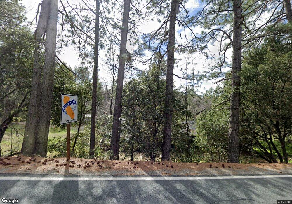
23967 Highway 26 West Point, CA 95255
Estimated Value: $288,000 - $318,000
3
Beds
3
Baths
1,300
Sq Ft
$232/Sq Ft
Est. Value
About This Home
This home is located at 23967 Highway 26, West Point, CA 95255 and is currently estimated at $302,120, approximately $232 per square foot. 23967 Highway 26 is a home located in Calaveras County with nearby schools including Pioneer Magnet School for the Visual & Performing Arts, Jackson Junior High School, and Amador High School.
Ownership History
Date
Name
Owned For
Owner Type
Purchase Details
Closed on
Mar 13, 2018
Sold by
Arnold John C and Arnold Adele M
Bought by
Arnold John C and Arnold Adelene M
Current Estimated Value
Purchase Details
Closed on
Jul 29, 2003
Sold by
Ragsdale Charles E
Bought by
Arnold John C and Arnold Adele M
Purchase Details
Closed on
Mar 1, 2000
Sold by
Shaddox Susan Kari Ragsdale and Shaddox Susan
Bought by
Ragsdale Charles Edward
Create a Home Valuation Report for This Property
The Home Valuation Report is an in-depth analysis detailing your home's value as well as a comparison with similar homes in the area
Purchase History
| Date | Buyer | Sale Price | Title Company |
|---|---|---|---|
| Arnold John C | -- | None Available | |
| Arnold John C | $147,500 | First American Title Company | |
| Ragsdale Charles E | -- | First American Title Company | |
| Ragsdale Charles Edward | -- | First American Title Company |
Source: Public Records
Tax History
| Year | Tax Paid | Tax Assessment Tax Assessment Total Assessment is a certain percentage of the fair market value that is determined by local assessors to be the total taxable value of land and additions on the property. | Land | Improvement |
|---|---|---|---|---|
| 2025 | $3,434 | $209,696 | $39,091 | $170,605 |
| 2023 | $2,746 | $201,555 | $37,574 | $163,981 |
| 2022 | $2,665 | $197,604 | $36,838 | $160,766 |
| 2021 | $2,480 | $193,730 | $36,116 | $157,614 |
| 2020 | $1,803 | $143,000 | $45,000 | $98,000 |
| 2019 | $1,822 | $137,000 | $45,000 | $92,000 |
| 2018 | $1,701 | $130,000 | $45,000 | $85,000 |
| 2017 | $1,551 | $117,000 | $30,000 | $87,000 |
| 2016 | $1,277 | $91,000 | $15,000 | $76,000 |
| 2015 | -- | $91,000 | $15,000 | $76,000 |
| 2014 | -- | $85,000 | $15,000 | $70,000 |
Source: Public Records
Map
Nearby Homes
- 398 Rhoda Niderost Ln
- 23555 Highway 26
- 21785 State Route 26
- 2323 Spink Rd
- 329 Pinecone Ln
- 219 Smith Ln
- 955 Grinding Rock Ct
- 0 Defender Grade Unit 226018837
- 14730 Joyce Rd
- 24929 State Highway 88
- 205 Bald Mountain Rd
- 16001 Cedar Heights Dr N
- 15574 Hinton Rd
- 24571 Defender Grade Rd
- 15793 Black Prince Rd
- 0 Red Corral Rd Unit 226006000
- 0 Red Corral Rd Unit 226006003
- 15855 Sunny Dr
- 0 California 88
- 250 Acorn Way
- 23999 Highway 26
- 23990 Highway 26
- 23964 Westpoint Pioneer Rd
- 23931 W Point Pioneer Rd
- 23931 Highway 26
- 23934 Highway 26
- 24034 Westpoint Pioneer Rd
- 23905 W Point Pioneer Rd
- 23905 Highway 26
- 23964 Highway 26
- 23964 W Point Pioneer Rd
- 23877 Westpoint Pioneer Rd
- 23877 Highway 26
- 24098 Westpoint Pioneer Rd
- 24098 W Point Pioneer Rd
- 0 Centennial Mine Rd
- 23856 Highway 26
- 101 Centennial Mine Rd
- 23968 Highway 26
- 23968 Highway 26
Your Personal Tour Guide
Ask me questions while you tour the home.
