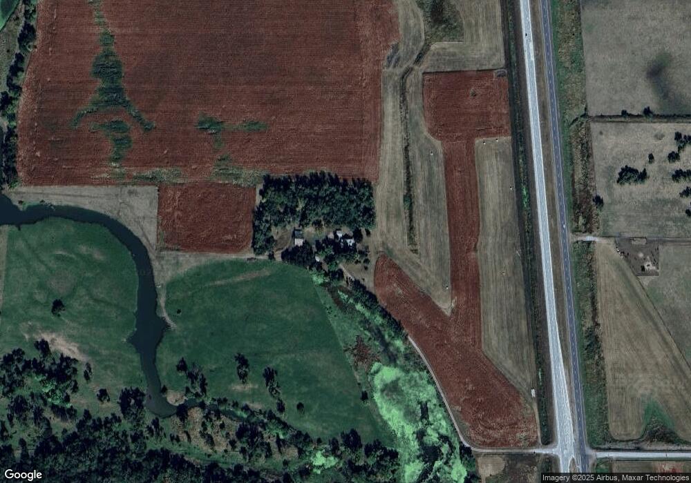
2399 Highway 275 West Point, NE 68788
Estimated Value: $290,000 - $892,000
4
Beds
1
Bath
1,536
Sq Ft
$412/Sq Ft
Est. Value
About This Home
This home is located at 2399 Highway 275, West Point, NE 68788 and is currently estimated at $633,031, approximately $412 per square foot. 2399 Highway 275 is a home located in Cuming County with nearby schools including West Point-Beemer Junior/Senior High School.
Ownership History
Date
Name
Owned For
Owner Type
Purchase Details
Closed on
Nov 18, 2024
Sold by
Wortman Farm
Bought by
Schlickbernd Patrick D and Schlickbernd Jean J
Current Estimated Value
Purchase Details
Closed on
Nov 13, 2020
Sold by
Wortman Farm
Bought by
State Of Nebraska Department Of Trans
Purchase Details
Closed on
Oct 23, 2020
Sold by
Wetlands America Trust
Bought by
State Of Nebraska Department Of Trans
Create a Home Valuation Report for This Property
The Home Valuation Report is an in-depth analysis detailing your home's value as well as a comparison with similar homes in the area
Home Values in the Area
Average Home Value in this Area
Purchase History
| Date | Buyer | Sale Price | Title Company |
|---|---|---|---|
| Schlickbernd Patrick D | $1,000,000 | None Listed On Document | |
| Schlickbernd Patrick D | $1,000,000 | None Listed On Document | |
| State Of Nebraska Department Of Trans | -- | None Available | |
| State Of Nebraska Department Of Trans | -- | None Available |
Source: Public Records
Tax History Compared to Growth
Tax History
| Year | Tax Paid | Tax Assessment Tax Assessment Total Assessment is a certain percentage of the fair market value that is determined by local assessors to be the total taxable value of land and additions on the property. | Land | Improvement |
|---|---|---|---|---|
| 2025 | $4,616 | $906,170 | $803,690 | $102,480 |
| 2024 | $4,616 | $776,250 | $688,410 | $87,840 |
| 2023 | $6,220 | $698,935 | $616,860 | $82,075 |
| 2022 | $6,412 | $649,450 | $583,910 | $65,540 |
| 2021 | $6,656 | $661,335 | $601,400 | $59,935 |
| 2020 | $6,863 | $712,925 | $661,725 | $51,200 |
| 2019 | $7,194 | $706,530 | $660,460 | $46,070 |
| 2018 | $7,538 | $740,690 | $694,620 | $46,070 |
| 2017 | $7,355 | $699,595 | $647,440 | $52,155 |
| 2016 | $7,406 | $657,615 | $610,640 | $46,975 |
| 2015 | $6,404 | $518,540 | $471,565 | $46,975 |
| 2014 | $3,399 | $445,730 | $399,885 | $45,845 |
| 2013 | $3,399 | $316,665 | $271,760 | $44,905 |
Source: Public Records
Map
Nearby Homes