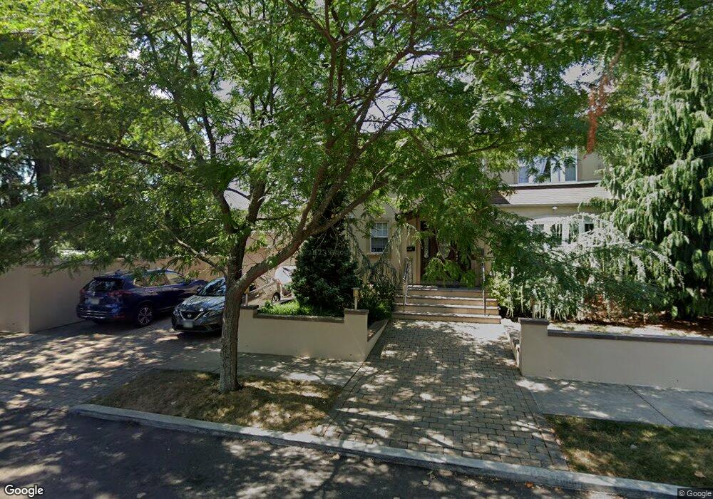
24-04 201st St Unit 1st Fl Bayside, NY 11360
Clearview NeighborhoodEstimated Value: $1,174,000 - $1,553,000
2
Beds
1
Bath
1,604
Sq Ft
$878/Sq Ft
Est. Value
About This Home
This home is located at 24-04 201st St Unit 1st Fl, Bayside, NY 11360 and is currently estimated at $1,408,000, approximately $877 per square foot. 24-04 201st St Unit 1st Fl is a home located in Queens County with nearby schools including I.S. 25 Adrien Block, Bayside High School, and Chabad Aademy of Arts & Sciences.
Ownership History
Date
Name
Owned For
Owner Type
Purchase Details
Closed on
Jan 27, 2021
Sold by
Mkhitarian Armond
Bought by
Li Jing Ying
Current Estimated Value
Home Financials for this Owner
Home Financials are based on the most recent Mortgage that was taken out on this home.
Original Mortgage
$980,000
Outstanding Balance
$874,981
Interest Rate
2.6%
Mortgage Type
Purchase Money Mortgage
Estimated Equity
$533,019
Create a Home Valuation Report for This Property
The Home Valuation Report is an in-depth analysis detailing your home's value as well as a comparison with similar homes in the area
Home Values in the Area
Average Home Value in this Area
Purchase History
| Date | Buyer | Sale Price | Title Company |
|---|---|---|---|
| Li Jing Ying | $1,390,000 | -- |
Source: Public Records
Mortgage History
| Date | Status | Borrower | Loan Amount |
|---|---|---|---|
| Open | Li Jing Ying | $980,000 |
Source: Public Records
Tax History Compared to Growth
Tax History
| Year | Tax Paid | Tax Assessment Tax Assessment Total Assessment is a certain percentage of the fair market value that is determined by local assessors to be the total taxable value of land and additions on the property. | Land | Improvement |
|---|---|---|---|---|
| 2025 | $11,353 | $58,762 | $12,200 | $46,562 |
| 2024 | $11,353 | $56,525 | $12,366 | $44,159 |
| 2023 | $10,711 | $53,327 | $12,306 | $41,021 |
| 2022 | $10,362 | $64,620 | $14,400 | $50,220 |
| 2021 | $10,305 | $59,100 | $14,400 | $44,700 |
| 2020 | $10,069 | $55,680 | $14,400 | $41,280 |
| 2019 | $9,561 | $56,340 | $14,400 | $41,940 |
| 2018 | $8,761 | $44,439 | $10,950 | $33,489 |
| 2017 | $8,518 | $43,254 | $12,896 | $30,358 |
| 2016 | $7,848 | $43,254 | $12,896 | $30,358 |
| 2015 | $4,702 | $40,807 | $14,489 | $26,318 |
| 2014 | $4,702 | $39,254 | $14,476 | $24,778 |
Source: Public Records
Map
Nearby Homes
- 19929 26th Ave
- 199-27 26th Ave
- 21-38 202nd St Unit 1-207
- 21-38 202nd St Unit 2
- 23-14 205th St
- 21-29 Utopia Pkwy Unit UPSTAIRS
- 26-23 Utopia Pkwy
- 201-05 28th Ave
- 201-20 28th Ave
- 19916 21st Ave Unit 1336
- 199-08 21st Ave Unit 1-327
- 199-05 21st Ave Unit 1st Floor
- 20-19 Utopia Pkwy Unit 1-371
- 28-07 172nd St
- 166-36 23rd Ave
- 2533 Francis Lewis Blvd
- 16627 25th Ave
- 1918 Utopia Pkwy
- 199-39 19th Ave Unit Upper
- 24-65 Francis Lewis Blvd
- 24-04 201st St
- 24-04 201st St Unit 2nd Fl
- 2404 201st St
- 19948 24th Ave
- 19942 24th Ave
- 2414 201st St
- 199-42 24th Ave
- 19951 24th Rd
- 24-14 201st St
- 2403 201st St
- 2407 201st St
- 19951 24th Rd
- 19947 24th Rd
- 2318 201st St
- 201-03 24th Rd
- 20103 24th Rd
- 19943 24th Rd
- 19936 24th Ave
- 20103 24th Rd Unit House
- 20103 24th Rd