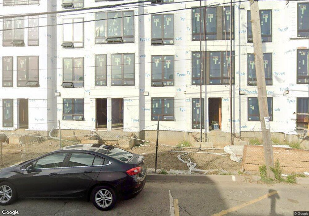
24 2nd Ave Long Branch, NJ 07740
Estimated Value: $420,000
--
Bed
--
Bath
--
Sq Ft
6,055
Sq Ft Lot
About This Home
This home is located at 24 2nd Ave, Long Branch, NJ 07740 and is currently priced at $420,000. 24 2nd Ave is a home located in Monmouth County with nearby schools including Long Branch High School and Holy Trinity School.
Ownership History
Date
Name
Owned For
Owner Type
Purchase Details
Closed on
Mar 7, 2014
Sold by
Broadway Arts Center Llc
Bought by
Long Branch Partners Llc
Current Estimated Value
Purchase Details
Closed on
May 26, 2006
Sold by
Bergen Square Inc
Bought by
Broadway Arts Center Llc
Purchase Details
Closed on
Feb 2, 2002
Sold by
Springs Crystal
Bought by
Bergen Square Inc
Purchase Details
Closed on
Nov 20, 2000
Sold by
Bankers Trust
Bought by
Springs Crystal
Purchase Details
Closed on
Aug 5, 1997
Sold by
Bergen Square Inc
Bought by
Meehan Michael
Home Financials for this Owner
Home Financials are based on the most recent Mortgage that was taken out on this home.
Original Mortgage
$71,000
Interest Rate
7.56%
Purchase Details
Closed on
Jan 6, 1997
Sold by
Security Pacific
Bought by
Bergen Square
Create a Home Valuation Report for This Property
The Home Valuation Report is an in-depth analysis detailing your home's value as well as a comparison with similar homes in the area
Home Values in the Area
Average Home Value in this Area
Purchase History
| Date | Buyer | Sale Price | Title Company |
|---|---|---|---|
| Long Branch Partners Llc | -- | Commonwealth Land Title Ins | |
| Broadway Arts Center Llc | $300,000 | -- | |
| Bergen Square Inc | $118,500 | -- | |
| Springs Crystal | $30,000 | -- | |
| Meehan Michael | $95,000 | -- | |
| Bergen Square | $4,000 | -- |
Source: Public Records
Mortgage History
| Date | Status | Borrower | Loan Amount |
|---|---|---|---|
| Previous Owner | Meehan Michael | $71,000 |
Source: Public Records
Tax History Compared to Growth
Tax History
| Year | Tax Paid | Tax Assessment Tax Assessment Total Assessment is a certain percentage of the fair market value that is determined by local assessors to be the total taxable value of land and additions on the property. | Land | Improvement |
|---|---|---|---|---|
| 2022 | $4,308 | $223,300 | $223,300 | $0 |
| 2021 | $4,308 | $215,300 | $215,300 | $0 |
| 2020 | $4,479 | $214,300 | $214,300 | $0 |
| 2019 | $4,484 | $213,300 | $213,300 | $0 |
| 2018 | $4,425 | $209,300 | $209,300 | $0 |
| 2017 | $4,953 | $240,300 | $207,300 | $33,000 |
| 2016 | $4,861 | $240,500 | $208,300 | $32,200 |
| 2015 | $5,951 | $267,200 | $209,400 | $57,800 |
| 2014 | $6,140 | $290,600 | $239,300 | $51,300 |
Source: Public Records
Map
Nearby Homes
- 143 Stokes Place
- 167 Chelsea Ave
- 55 Melrose Terrace Unit 209
- 55 Melrose Terrace Unit 112
- 145 Stokes Place
- 20 Melrose Terrace Unit 202
- 20 Melrose Terrace Unit 408
- 20 Melrose Terrace Unit 305
- 166 Franklin Ave Unit 8
- 103 Franklin Ave
- 30 Melrose Terrace Unit 209
- 30 Melrose Terrace Unit 303
- 15 Morris Ave Unit 206
- 15 Morris Ave Unit 618
- 15 Morris Ave Unit 202
- 15 Morris Ave Unit 505
- 150 Franklin Ave Unit 5
- 152 Franklin Ave
- 158 Franklin Ave
- 22 Cooper Ave Unit 113
- 20 2nd Ave
- 127 Belmont Ave
- 21 2nd Ave Unit 2
- 131 Belmont Ave
- 124 Belmont Ave
- 27 2nd Ave
- 126 Broadway
- 33 2nd Ave
- 126 Belmont Ave
- 35 2nd Ave Unit 5
- 35 2nd Ave
- 128 Belmont Ave
- 37 2nd Ave Unit 5
- 37 2nd Ave Unit 1
- 35-39 2nd Ave
- 35-39 2nd Ave Unit 15
- 139 Belmont Ave Unit 141
- 43 2nd Ave
- 45 2nd Ave
- 50 2nd Ave