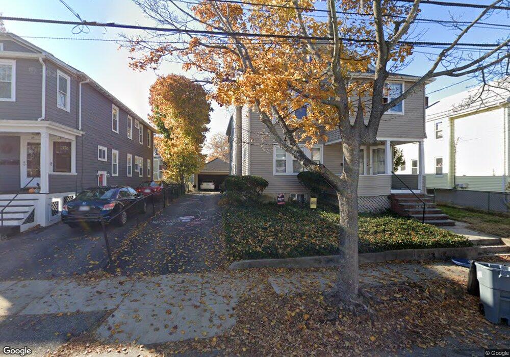
24 Alfred Rd Unit 26 Arlington, MA 02474
East Arlington NeighborhoodEstimated Value: $1,139,000 - $1,352,855
4
Beds
2
Baths
2,460
Sq Ft
$499/Sq Ft
Est. Value
About This Home
This home is located at 24 Alfred Rd Unit 26, Arlington, MA 02474 and is currently estimated at $1,226,714, approximately $498 per square foot. 24 Alfred Rd Unit 26 is a home located in Middlesex County with nearby schools including Hardy Elementary School, Ottoson Middle School, and Arlington High School.
Ownership History
Date
Name
Owned For
Owner Type
Purchase Details
Closed on
Oct 13, 2022
Sold by
Rhoades Kathe G
Bought by
Gonsalves Naomi E
Current Estimated Value
Purchase Details
Closed on
Jun 23, 1977
Bought by
Rhoades Kathe G
Create a Home Valuation Report for This Property
The Home Valuation Report is an in-depth analysis detailing your home's value as well as a comparison with similar homes in the area
Home Values in the Area
Average Home Value in this Area
Purchase History
| Date | Buyer | Sale Price | Title Company |
|---|---|---|---|
| Gonsalves Naomi E | -- | None Available | |
| Rhoades Kathe G | $57,500 | -- |
Source: Public Records
Mortgage History
| Date | Status | Borrower | Loan Amount |
|---|---|---|---|
| Previous Owner | Rhoades Kathe G | $20,000 | |
| Previous Owner | Rhoades Kathe G | $80,000 | |
| Previous Owner | Rhoades Kathe G | $79,500 | |
| Previous Owner | Rhoades Kathe G | $78,000 |
Source: Public Records
Tax History Compared to Growth
Tax History
| Year | Tax Paid | Tax Assessment Tax Assessment Total Assessment is a certain percentage of the fair market value that is determined by local assessors to be the total taxable value of land and additions on the property. | Land | Improvement |
|---|---|---|---|---|
| 2025 | $12,304 | $1,142,400 | $600,600 | $541,800 |
| 2024 | $11,373 | $1,073,900 | $571,700 | $502,200 |
| 2023 | $11,431 | $1,019,700 | $479,300 | $540,400 |
| 2022 | $11,391 | $997,500 | $462,000 | $535,500 |
| 2021 | $11,035 | $973,100 | $462,000 | $511,100 |
| 2020 | $10,764 | $973,200 | $462,000 | $511,200 |
| 2019 | $9,824 | $872,500 | $490,900 | $381,600 |
| 2018 | $8,973 | $739,700 | $358,100 | $381,600 |
| 2017 | $8,413 | $669,800 | $311,900 | $357,900 |
| 2016 | $7,982 | $623,600 | $265,700 | $357,900 |
| 2015 | $7,843 | $578,800 | $259,900 | $318,900 |
Source: Public Records
Map
Nearby Homes
- 22 Hamilton Rd Unit 206
- 31 Mott St Unit 31A
- 34 Hamilton Rd Unit 302
- 18 Belknap St Unit 2
- 18 Belknap St Unit 1
- 230 Massachusetts Ave Unit 6
- 215 Massachusetts Ave Unit 19 (34)
- 137-139 Thorndike St Unit 2
- 25-27 Adams St
- 128 Thorndike St Unit 2
- 42-44 Warren St Unit 42
- 41 Palmer St Unit 43
- 3 Seagrave Rd
- 29 Dartmouth St Unit 29
- 63 Loomis St Unit 63
- 94 Rawson Rd Unit 94
- 23 Loomis St Unit 23
- 55 S Normandy Ave
- 23 Yale Rd
- 23 Brookford St
- 22 Alfred Rd
- 28 Alfred Rd Unit 30
- 20 Alfred Rd
- 18 Alfred Rd Unit 1
- 32 Alfred Rd Unit 34
- 16 Alfred Rd Unit 18
- 16-18 Alfred Rd Unit 2
- 16-18 Alfred Rd
- 23 Pondview Rd Unit 25
- 27 Pondview Rd Unit 29
- 23 Alfred Rd Unit 25
- 19 Pondview Rd Unit 2
- 21 Pondview Rd
- 19 Pondview Rd
- 19 Pondview Rd Unit 1
- 19 Alfred Rd Unit 21
- 29 Pondview Rd Unit 2
- 27 Alfred Rd Unit 29
- 36 Alfred Rd Unit 38
- 15 Pondview Rd Unit 17