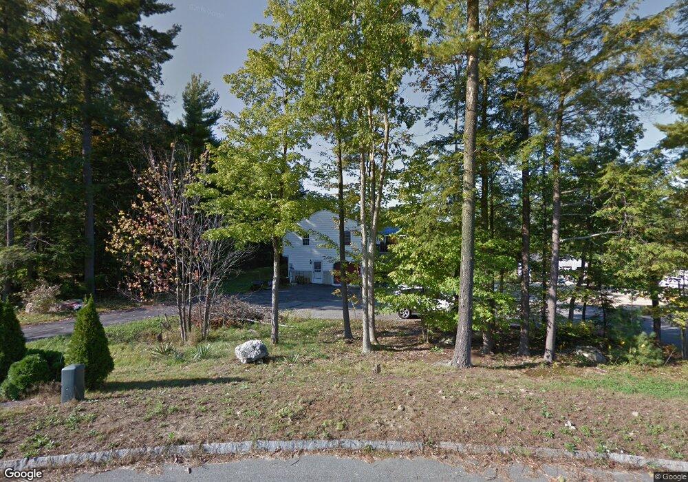
24 Andrea Ave Hooksett, NH 03106
Estimated Value: $542,000 - $633,000
4
Beds
3
Baths
1,923
Sq Ft
$305/Sq Ft
Est. Value
About This Home
This home is located at 24 Andrea Ave, Hooksett, NH 03106 and is currently estimated at $586,453, approximately $304 per square foot. 24 Andrea Ave is a home located in Merrimack County with nearby schools including Fred C. Underhill School, Hooksett Memorial School, and David R. Cawley Middle School.
Ownership History
Date
Name
Owned For
Owner Type
Purchase Details
Closed on
Feb 19, 2009
Sold by
Novastar Mortgage Inc
Bought by
Larsson Betty-Jean
Current Estimated Value
Purchase Details
Closed on
Jan 10, 2008
Sold by
Finnegan Bonnie L
Bought by
Novastar Mortgage Inc
Purchase Details
Closed on
Jul 3, 2002
Sold by
Defina Bartholomew T and Defina Marka F
Bought by
Finnegan Bonnie L and Finnegan Paul F
Home Financials for this Owner
Home Financials are based on the most recent Mortgage that was taken out on this home.
Original Mortgage
$200,000
Interest Rate
6.82%
Create a Home Valuation Report for This Property
The Home Valuation Report is an in-depth analysis detailing your home's value as well as a comparison with similar homes in the area
Home Values in the Area
Average Home Value in this Area
Purchase History
| Date | Buyer | Sale Price | Title Company |
|---|---|---|---|
| Larsson Betty-Jean | $199,900 | -- | |
| Novastar Mortgage Inc | $251,800 | -- | |
| Finnegan Bonnie L | $225,500 | -- |
Source: Public Records
Mortgage History
| Date | Status | Borrower | Loan Amount |
|---|---|---|---|
| Previous Owner | Finnegan Bonnie L | $200,000 |
Source: Public Records
Tax History
| Year | Tax Paid | Tax Assessment Tax Assessment Total Assessment is a certain percentage of the fair market value that is determined by local assessors to be the total taxable value of land and additions on the property. | Land | Improvement |
|---|---|---|---|---|
| 2024 | $8,433 | $497,200 | $167,200 | $330,000 |
| 2023 | $7,945 | $497,200 | $165,700 | $331,500 |
| 2022 | $7,513 | $312,400 | $113,300 | $199,100 |
| 2021 | $6,942 | $312,400 | $113,300 | $199,100 |
| 2020 | $7,032 | $312,400 | $113,300 | $199,100 |
| 2019 | $6,732 | $312,400 | $113,300 | $199,100 |
| 2018 | $6,910 | $312,400 | $113,300 | $199,100 |
| 2017 | $6,645 | $248,500 | $99,400 | $149,100 |
| 2016 | $6,558 | $248,500 | $99,400 | $149,100 |
| 2015 | $6,143 | $248,500 | $99,400 | $149,100 |
| 2014 | $6,170 | $248,500 | $99,400 | $149,100 |
| 2013 | $5,835 | $248,500 | $99,400 | $149,100 |
Source: Public Records
Map
Nearby Homes
- 347 and 26 Whitehall Road and Chester Turnpike
- 0 N Candia Rd Unit 21 5039875
- 909 High St
- 843 High St Unit 13A
- 199 Whitehall Rd
- 197-199 Whitehall Rd
- 197 Whitehall Rd
- 669 High St
- 733 North Rd
- 5 Thistle Ln
- 11 Barberry St
- 0 Chester Turnpike Unit 18
- 9 Quarry Rd
- 9 Berry Hill Rd
- 32 Lindsay Rd
- 10 Harvard Ave
- 79-1 Currier Rd
- 267 Londonderry Turnpike
- 192 Londonderry Turnpike
- 286B Londonderry Turnpike Unit A
Your Personal Tour Guide
Ask me questions while you tour the home.