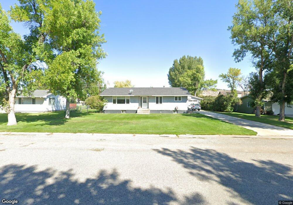
24 Annin Ave Columbus, MT 59019
Estimated Value: $364,661 - $391,000
5
Beds
3
Baths
1,344
Sq Ft
$279/Sq Ft
Est. Value
About This Home
This home is located at 24 Annin Ave, Columbus, MT 59019 and is currently estimated at $374,887, approximately $278 per square foot. 24 Annin Ave is a home located in Stillwater County with nearby schools including Columbus Elementary School and Columbus Middle School.
Ownership History
Date
Name
Owned For
Owner Type
Purchase Details
Closed on
Feb 28, 2017
Bought by
Mentzer Donald L and Sanford Shannon
Current Estimated Value
Purchase Details
Closed on
Oct 1, 2008
Sold by
Mentzer Rhonda J
Bought by
Mentzer Donald L
Home Financials for this Owner
Home Financials are based on the most recent Mortgage that was taken out on this home.
Original Mortgage
$187,775
Interest Rate
6.43%
Purchase Details
Closed on
Mar 14, 2005
Sold by
Mentzer Donald L
Bought by
Mentzer Donald L and Mentzer Rhonda H
Create a Home Valuation Report for This Property
The Home Valuation Report is an in-depth analysis detailing your home's value as well as a comparison with similar homes in the area
Purchase History
| Date | Buyer | Sale Price | Title Company |
|---|---|---|---|
| Mentzer Donald L | -- | -- | |
| Mentzer Donald L | -- | -- | |
| Mentzer Donald L | -- | -- |
Source: Public Records
Mortgage History
| Date | Status | Borrower | Loan Amount |
|---|---|---|---|
| Previous Owner | Mentzer Donald L | $187,775 |
Source: Public Records
Tax History
| Year | Tax Paid | Tax Assessment Tax Assessment Total Assessment is a certain percentage of the fair market value that is determined by local assessors to be the total taxable value of land and additions on the property. | Land | Improvement |
|---|---|---|---|---|
| 2025 | $1,902 | $365,100 | $0 | $0 |
| 2024 | $2,480 | $315,200 | $0 | $0 |
| 2023 | $2,417 | $315,200 | $0 | $0 |
| 2022 | $2,102 | $251,900 | $0 | $0 |
| 2021 | $2,074 | $251,900 | $0 | $0 |
| 2020 | $1,979 | $227,600 | $0 | $0 |
| 2019 | $2,097 | $227,600 | $0 | $0 |
| 2018 | $1,787 | $216,700 | $0 | $0 |
| 2017 | $1,782 | $216,700 | $0 | $0 |
| 2016 | $1,739 | $198,700 | $0 | $0 |
| 2015 | $1,624 | $198,700 | $0 | $0 |
| 2014 | $1,155 | $77,571 | $0 | $0 |
Source: Public Records
Map
Nearby Homes
- TBD Centennial Rd
- 345 N 3rd St
- 115 2nd St
- 326 E 2nd Ave N
- 27 E 1st Ave N
- 526 E 2nd Ave N
- 15 Sanctuary Ln
- 157 Melody Ln
- 403 11th St N
- 723 E 3rd Ave S
- 158 N Fork Eagle Mountain Rd
- 94 Upper Flat Rd
- 27 Kestrel Trail
- 96 Wagon Trail Rd
- 147 Stillwater Loop
- 104 Stillwater Loop
- 6 Shane Ridge Rd
- 79 Myers Rd
- 79 Meyers Rd
- 42 Bozeman Trail
Your Personal Tour Guide
Ask me questions while you tour the home.